MyTopo
Classic USGS Sugarloaf Mountain Virginia 7.5'x7.5' Topo Map
Couldn't load pickup availability
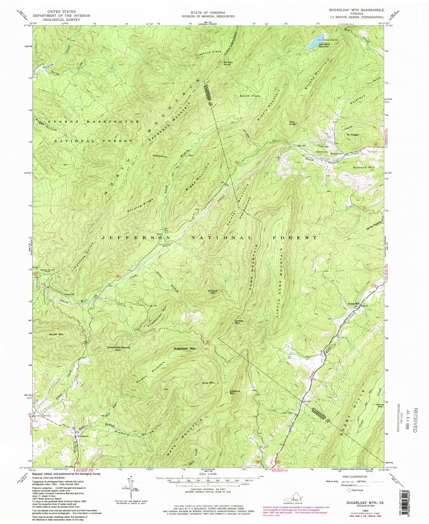
Historical USGS topographic quad map of Sugarloaf Mountain in the state of Virginia. Map scale may vary for some years, but is generally around 1:24,000. Print size is approximately 24" x 27"
This quadrangle is in the following counties: Botetourt, Rockbridge.
The map contains contour lines, roads, rivers, towns, and lakes. Printed on high-quality waterproof paper with UV fade-resistant inks, and shipped rolled.
Contains the following named places: Ad Cox Knob, Ad Cox Knob Dam, Bearwallow, Biggs Mountain, Brushy Mountain, Camp Mountain, Chestnut Flats, Deacon Cemetery, Dry Run, Garden Mountain, Grassy Mountain, Gully Mountain, Heartsblood, Hickory Hollow, Jane Furnace, Lexington Reservoir, Limestone Hollow, Little Camp Mountain, Mays Mountain, Middle Mountain, Moores Creek Dam, Mount Bethel Church, Mount Horeb Church, Mount Pisgah, North Mountain, Orebank Mountain, Painter Mountain, Piny Knob, Prisehouse Mountain, Pullen Cemetery, Rapps Cemetery, Rapps Church, Rapps Mill, Rebecca Furnace, Reidland, Rocky Creek, Rocky Ford, Sandbank Mountain, Sanford Hill, Scurff Mountain, Sloan Branch, Smith Branch, Smith Flats, Stamping Ground Mountain, Sugarloaf Mountain, The Pinnacle, Wildcat Mountain, Winding Ridge