MyTopo
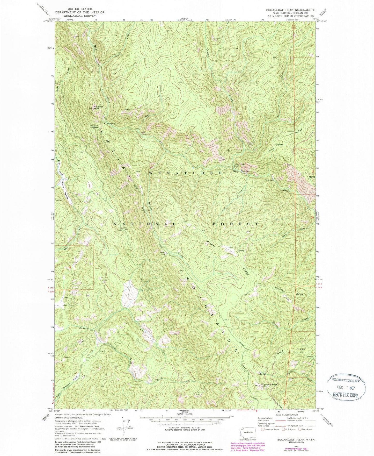
Classic USGS Sugarloaf Peak Washington 7.5'x7.5' Topo Map
Couldn't load pickup availability
Historical USGS topographic quad map of Sugarloaf Peak in the state of Washington. Typical map scale is 1:24,000, but may vary for certain years, if available. Print size: 24" x 27"
This quadrangle is in the following counties: Chelan.
The map contains contour lines, roads, rivers, towns, and lakes. Printed on high-quality waterproof paper with UV fade-resistant inks, and shipped rolled.
Contains the following named places: Alma Creek, Berg Camp, Berg Creek, Billy Creek, Cougar Creek, Cougar Creek Shelter, Entiat Mountains, Gold Ridge, Hornet Ridge, Jimmy Creek, Maverick Peak, Maverick Saddle, Medicine Ridge, Miners Corral, Miners Creek, Miners Ridge, Morrow Meadow, South Fork Beaver Creek, Sugarloaf Peak, Wilma Creek, Chelan County, Sugarloaf Peak Lookout, Deer Camp Campsite