MyTopo
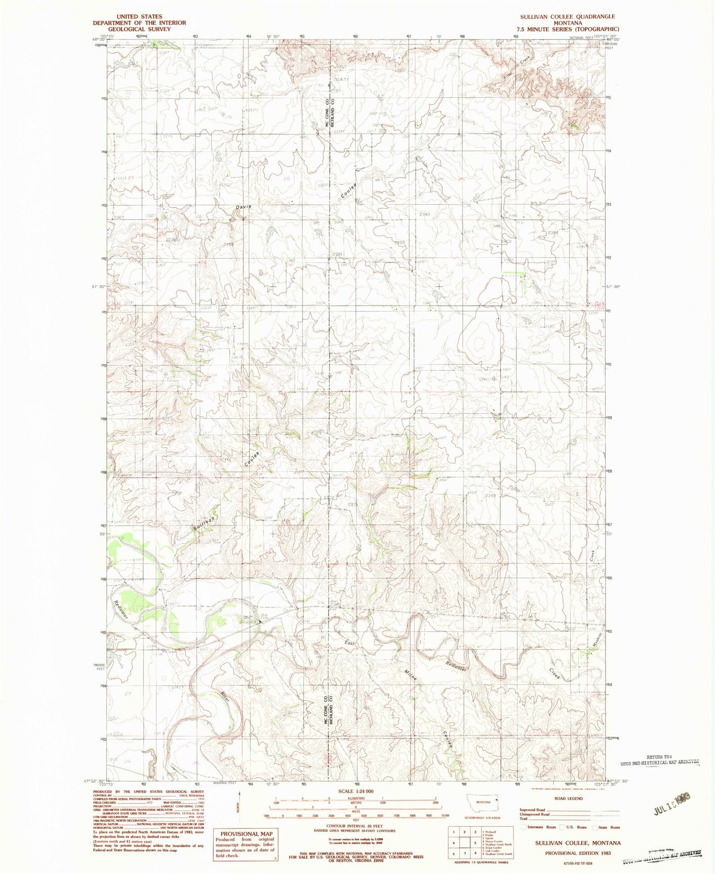
Classic USGS Sullivan Coulee Montana 7.5'x7.5' Topo Map
Couldn't load pickup availability
Historical USGS topographic quad map of Sullivan Coulee in the state of Montana. Map scale may vary for some years, but is generally around 1:24,000. Print size is approximately 24" x 27"
This quadrangle is in the following counties: McCone, Richland.
The map contains contour lines, roads, rivers, towns, and lakes. Printed on high-quality waterproof paper with UV fade-resistant inks, and shipped rolled.
Contains the following named places: 25N50E24CABC01 Well, 25N50E24CBDA01 Well, 25N50E25DB__01 Well, 26N50E14CDCC01 Well, 26N51E29BA__01 Well, Boardman Ditch, East Redwater Creek, Gage Station, Grandview Cemetery, Long Grass Creek, Milne Coulee, Muskrat Creek, Newman Dam, Sullivan Coulee, Willough Dam, Win Number 1 Dam