MyTopo
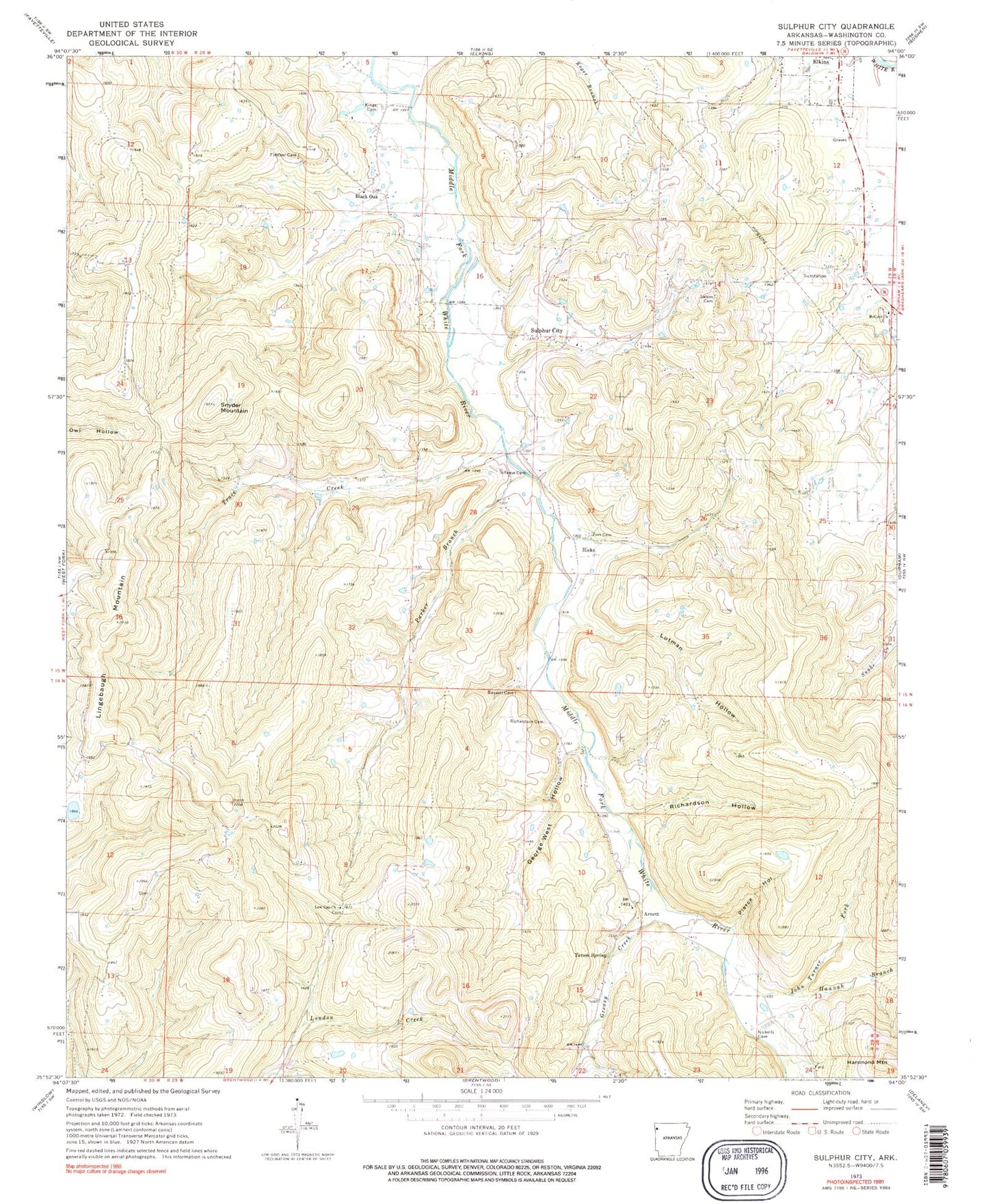
Classic USGS Sulphur City Arkansas 7.5'x7.5' Topo Map
Couldn't load pickup availability
Historical USGS topographic quad map of Sulphur City in the state of Arkansas. Typical map scale is 1:24,000, but may vary for certain years, if available. Print size: 24" x 27"
This quadrangle is in the following counties: Washington.
The map contains contour lines, roads, rivers, towns, and lakes. Printed on high-quality waterproof paper with UV fade-resistant inks, and shipped rolled.
Contains the following named places: George West Hollow, Hannah Branch, John Turner Fork, Kings Cemetery, Low Gap Church, Lutman Hollow, McCord Church, Parker Branch, Pierce Hollow, Reese Cemetery, Richardson Cemetery, Richardson Hollow, Salem Cemetery, Snyder Mountain, Tatum Spring, Zion Cemetery, Black Oak, Wyola, Arnett, Hicks, Lingebaugh Mountain, Carter (historical), Mount Zion Church (historical), Parricks Ridge, Rocky Comfort Church (historical), Sulphur City Baptist Church, White Church, Township of White River, Greasy Creek, Sulphur City, Trace Creek, Heflin Lake Dam, Heflin Lake, Black Oak School (historical), Arnett Post Office (historical), Hicks Post Office (historical), Sulphur City Post Office (historical), Mount Salem Post Office (historical), Carter Post Office (historical), Whitehouse Fire Department


