MyTopo
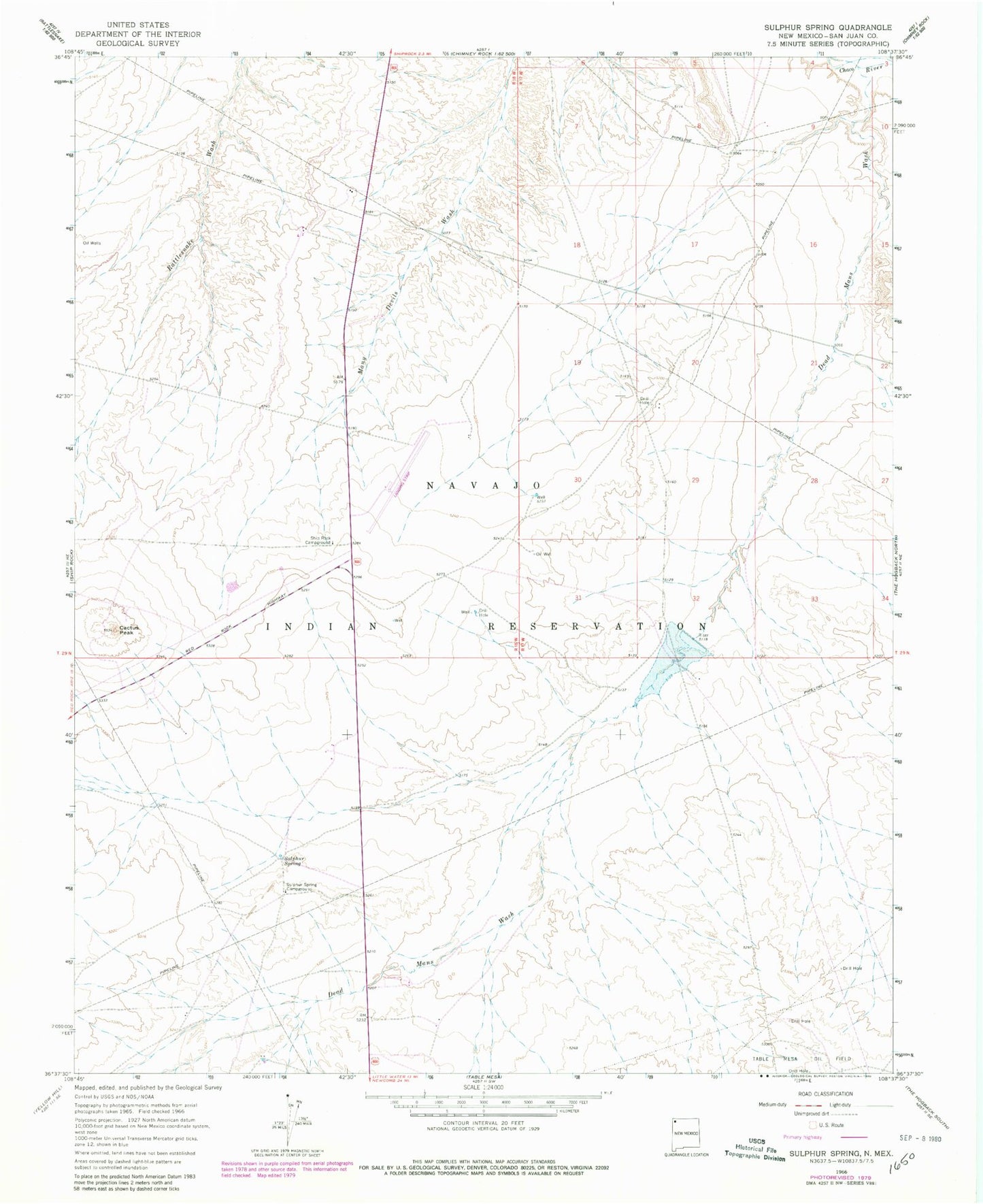
Classic USGS Sulphur Spring New Mexico 7.5'x7.5' Topo Map
Couldn't load pickup availability
Historical USGS topographic quad map of Sulphur Spring in the state of New Mexico. Map scale may vary for some years, but is generally around 1:24,000. Print size is approximately 24" x 27"
This quadrangle is in the following counties: San Juan.
The map contains contour lines, roads, rivers, towns, and lakes. Printed on high-quality waterproof paper with UV fade-resistant inks, and shipped rolled.
Contains the following named places: 112R-78 Spring, 12K-309 Water Well, 12T-551 Water Well, 12T-628 Water Well, 12T-629 Water Well, 12T-630 Water Well, Brewster Dam, Cactus Peak, Dead Mans Wash, Ship Rock Campground, Shiprock Airstrip, SJ-525 Water Well, Stinking Springs, Sulphur Spring, Sulphur Spring Campground