MyTopo
Classic USGS Sulphur Spring Washington 7.5'x7.5' Topo Map
Regular price
$16.95
Regular price
Sale price
$16.95
Unit price
per
Couldn't load pickup availability
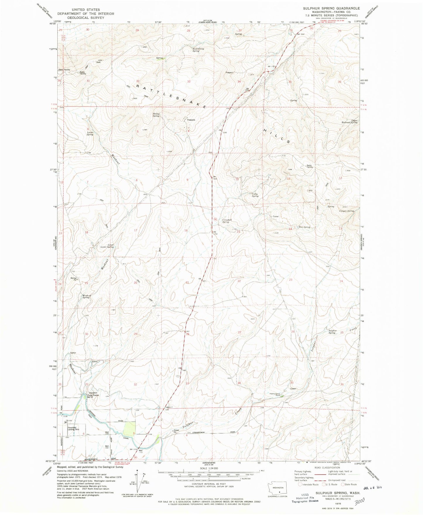
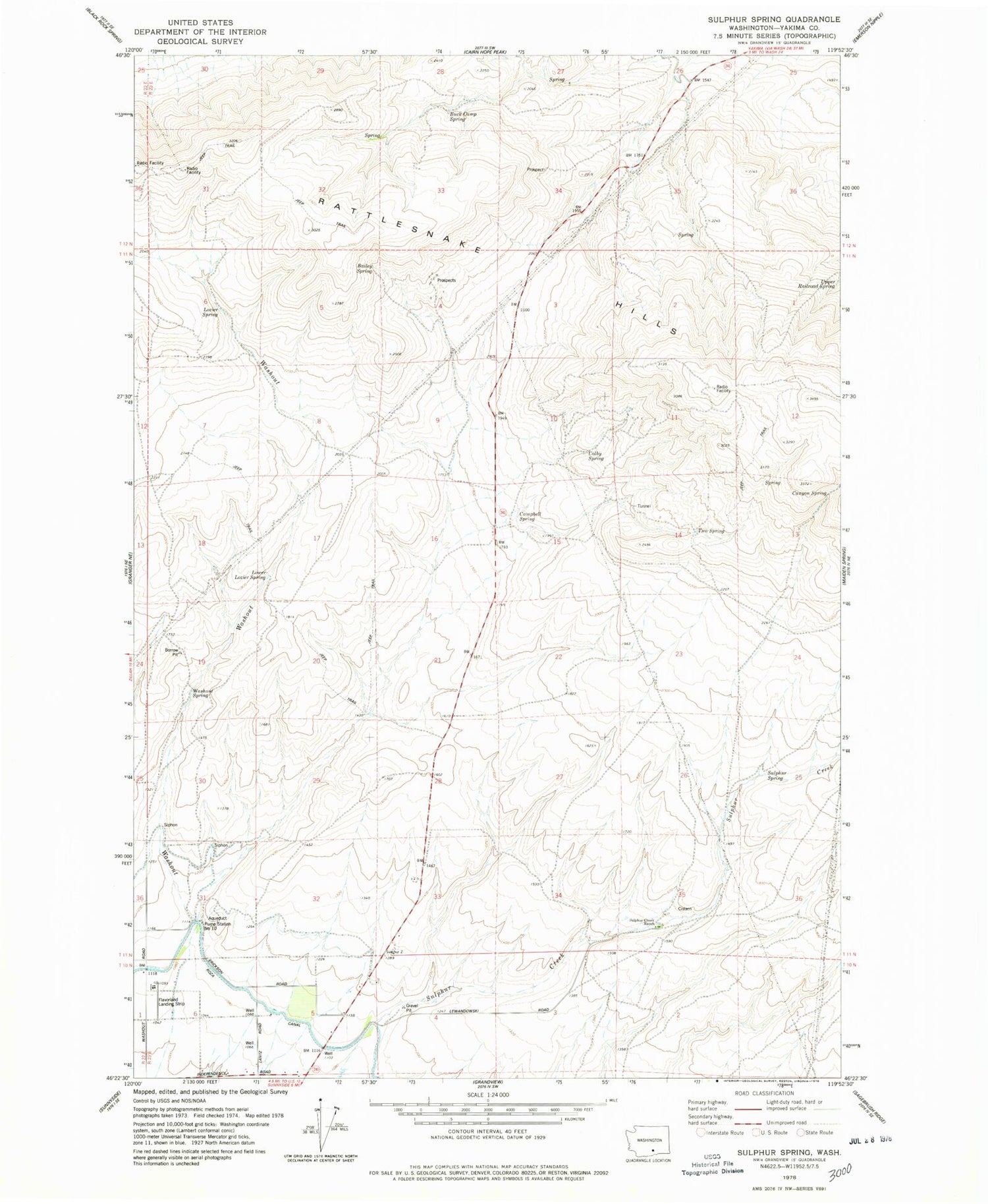
Historical USGS topographic quad map of Sulphur Spring in the state of Washington. Map scale may vary for some years, but is generally around 1:24,000. Print size is approximately 24" x 27"
This quadrangle is in the following counties: Yakima.
The map contains contour lines, roads, rivers, towns, and lakes. Printed on high-quality waterproof paper with UV fade-resistant inks, and shipped rolled.
Contains the following named places: Bailey Spring, Buck Camp Spring, Campbell Spring, Canyon Spring, Colby Spring, Lower Lozier Spring, Lozier Spring, Pump Station Number 10, Sulphur Creek Ranch, Sulphur Spring, Two Spring, Upper Railroad Spring, Washout, Washout Spring