
MyTopo
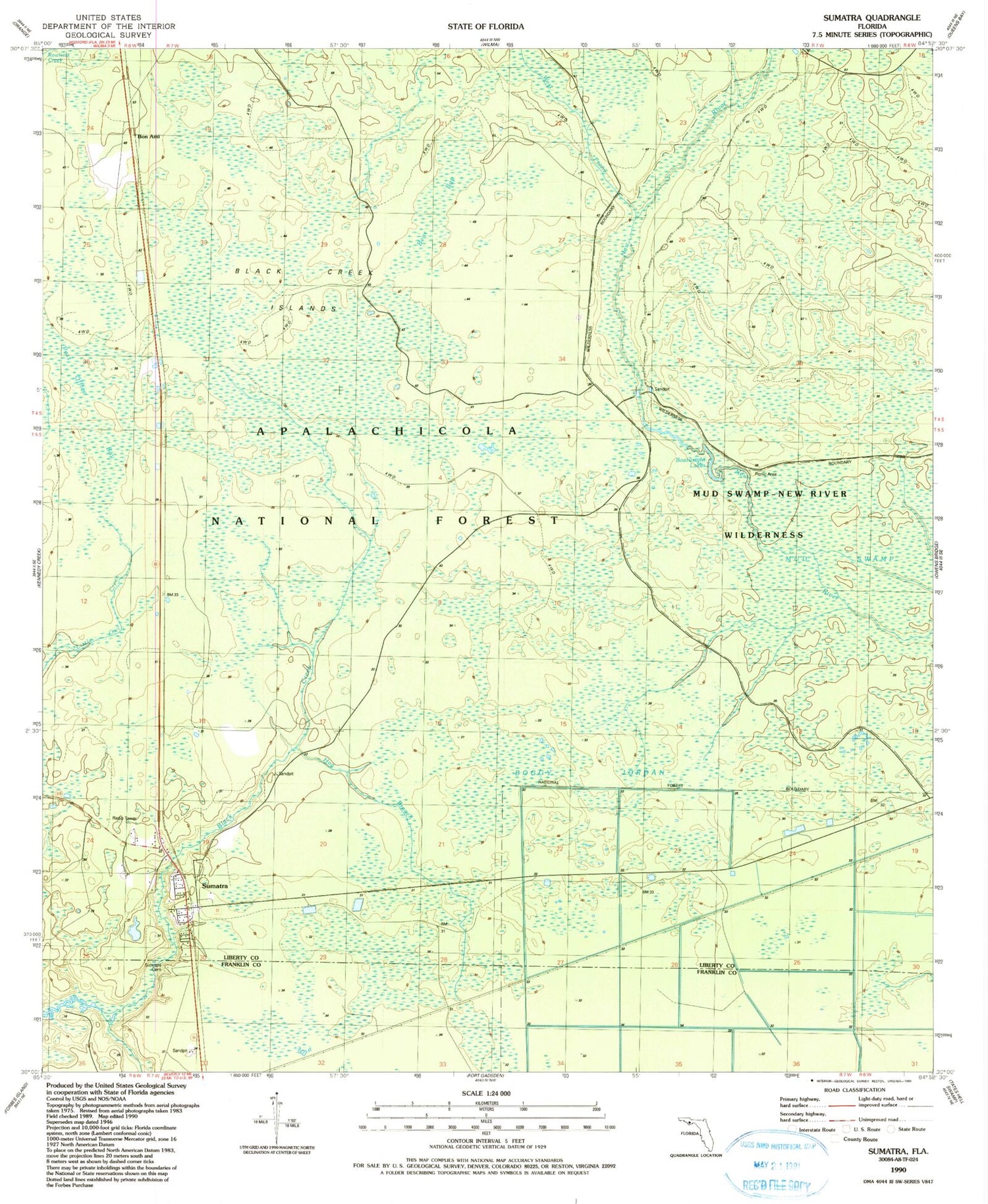
Classic USGS Sumatra Florida 7.5'x7.5' Topo Map
Couldn't load pickup availability
Historical USGS topographic quad map of Sumatra in the state of Florida. Map scale may vary for some years, but is generally around 1:24,000. Print size is approximately 24" x 27"
This quadrangle is in the following counties: Franklin, Liberty.
The map contains contour lines, roads, rivers, towns, and lakes. Printed on high-quality waterproof paper with UV fade-resistant inks, and shipped rolled.
Contains the following named places: Bear Bay, Black Creek Islands, Boatwright Lakes, Boggy Jordan, Bon Ami, Hog Branch Black Creek, Magnolia Landing Campground, Mud Swamp, Mud Swamp / New River Wilderness, New River Wilderness, Sumatra, Sumatra Census Designated Place, Sumatra Firetower, Sumatra Volunteer Fire Department, West Prong New River, Winns Landing


