MyTopo
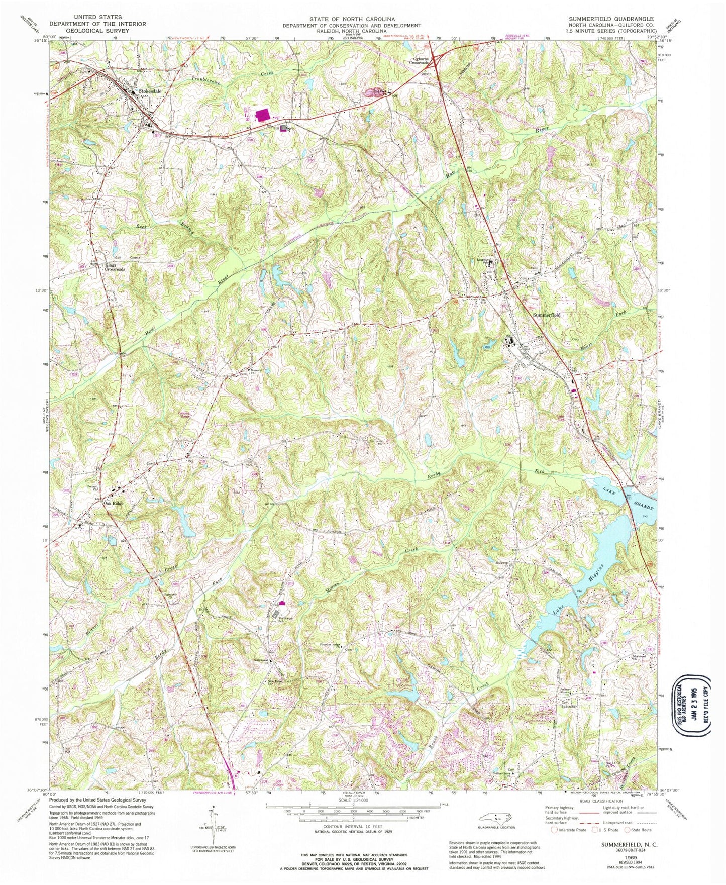
Classic USGS Summerfield North Carolina 7.5'x7.5' Topo Map
Couldn't load pickup availability
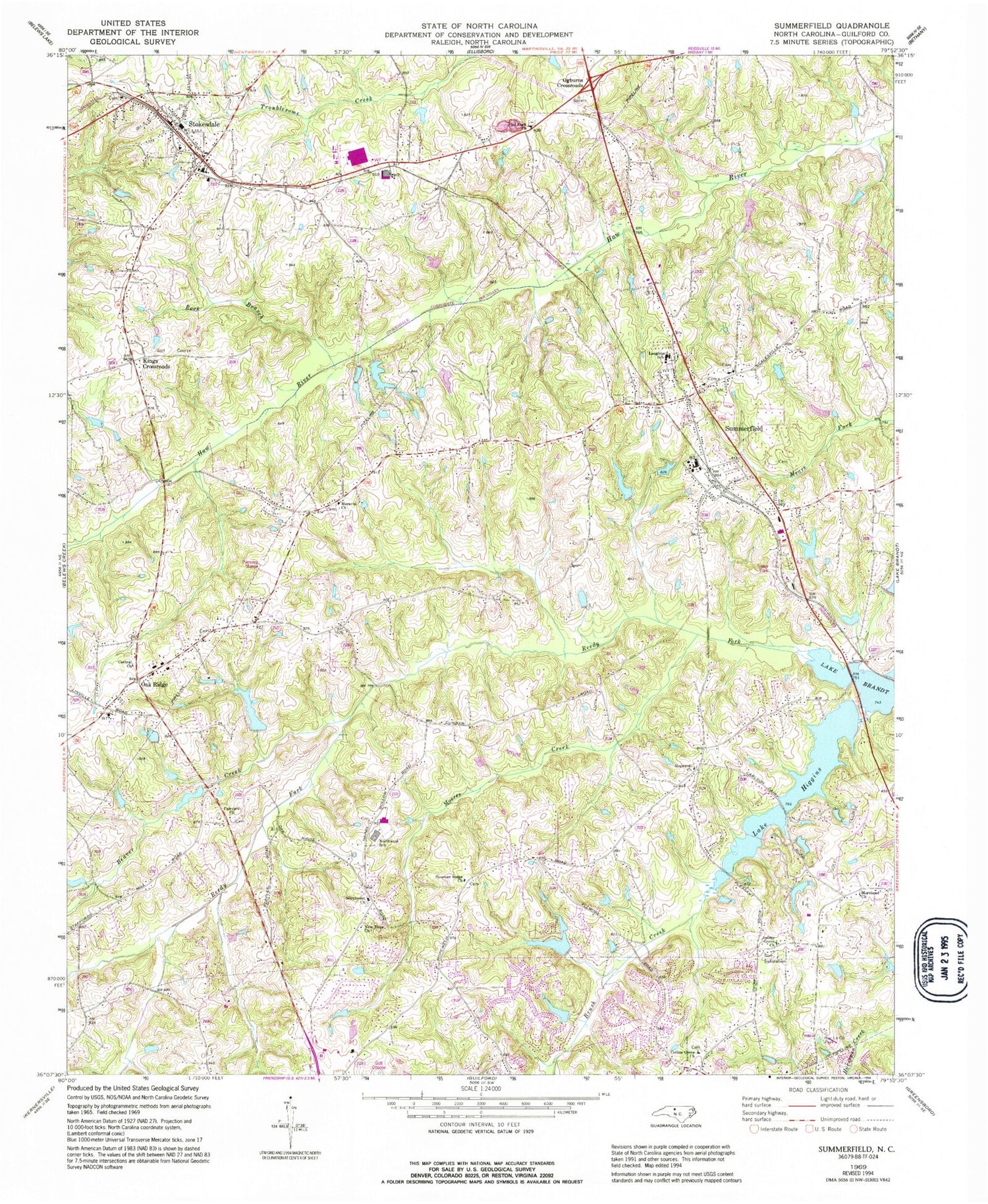
Historical USGS topographic quad map of Summerfield in the state of North Carolina. Map scale may vary for some years, but is generally around 1:24,000. Print size is approximately 24" x 27"
This quadrangle is in the following counties: Guilford.
The map contains contour lines, roads, rivers, towns, and lakes. Printed on high-quality waterproof paper with UV fade-resistant inks, and shipped rolled.
Contains the following named places: Bailes Old Mill Dam, Bailes Old Millpond, Barricks Dam, Barricks Lake, Beaver Creek, Brush Creek, Cardinal Country Club Dam, Cardinal Country Club Lake, Carlson Farms Lake, Carlson Farms Lake Dam, Central Church, Collins Grove Church, Fairview Church, Flat Rock Church, Foglemans Lake, Foglemans Lake Dam, Foster Dam, Foster Lake, Greensboro Fire Department Station 17, Greensboro Fire Department Station 21, Guilford County Fire Station 51, Hardin Lake, Hardin Lake Dam, Henson Lake, Henson Lake Dam, Her-La-Co Park, Hobbs Lake, Hobbs Lake Dam, Honkers Hollow Dam, Honkers Hollow Lake, Hopewell Church, Jessup Grove Church, Kings Crossroads, Lake Higgins, Lake Higgins Dam, Lambert Dam, Lambert Lake, Laughlin School, Lenio Dam, Linville Dam, Linville Lake, Martin Lake, Martin Lake Dam, Meylor Field, Moores Creek, Moravia Church, Morehead Church, New Hope Church, Northwest Church, Northwest Junior High School, Northwest Senior High School, Oak Ridge, Oak Ridge Elementary School, Oak Ridge Fire Department Station 15, Oak Ridge Post Office, Ogburns Crossroads, Pleasant Ridge Church, Rock Branch, Ski Lake, Ski Lake Dam, Stokesdale, Stokesdale Elementary School, Stokesdale Fire Department Station 12, Stokesdale Post Office, Stokesdale Quarry, Summerfield, Summerfield Elementary School, Summerfield Fire District Station 9, Summerfield Post Office, Town of Oak Ridge, Town of Stokesdale, Town of Summerfield, Township of Bruce, Township of Oak Ridge, Waynick Lake, Waynick Lake Dam, Whitaker Lake, Whitaker Lake Dam, Wood Lake, Wood Lake Dam, ZIP Codes: 27310, 27358


