MyTopo
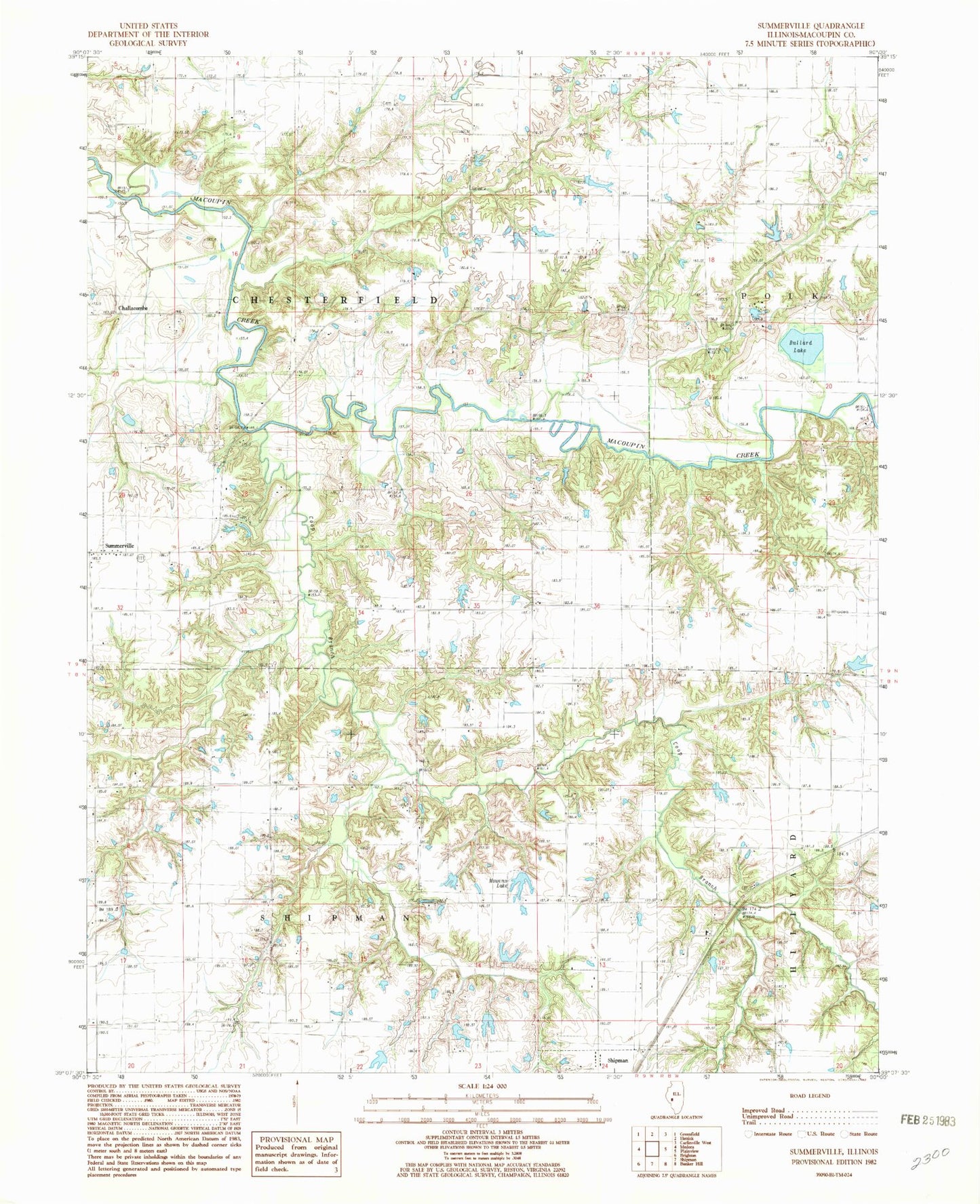
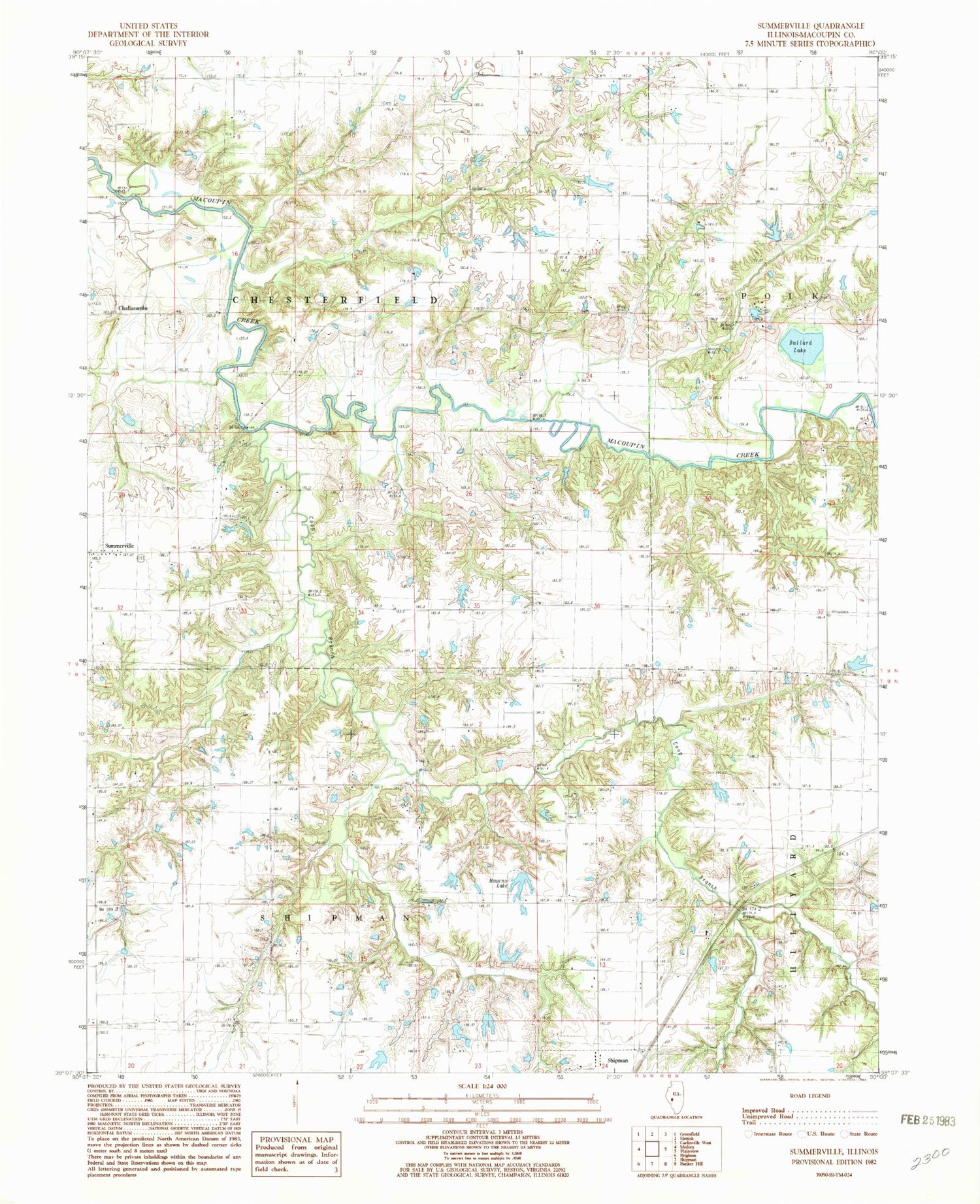
Classic USGS Summerville Illinois 7.5'x7.5' Topo Map
Couldn't load pickup availability
Historical USGS topographic quad map of Summerville in the state of Illinois. Map scale may vary for some years, but is generally around 1:24,000. Print size is approximately 24" x 27"
This quadrangle is in the following counties: Macoupin.
The map contains contour lines, roads, rivers, towns, and lakes. Printed on high-quality waterproof paper with UV fade-resistant inks, and shipped rolled.
Contains the following named places: Albany School, Armour Cemetery, Bullard Lake, Challacombe, Coop Branch, Gelder Cemetery, Harmony School, Hazelwood School, Hopewell School, Mowens Lake, Nixon Airport, Reno School, Shipman Reservoir Dam, Summerville, Township of Chesterfield, Township of Shipman, Victory School, ZIP Code: 62685