MyTopo
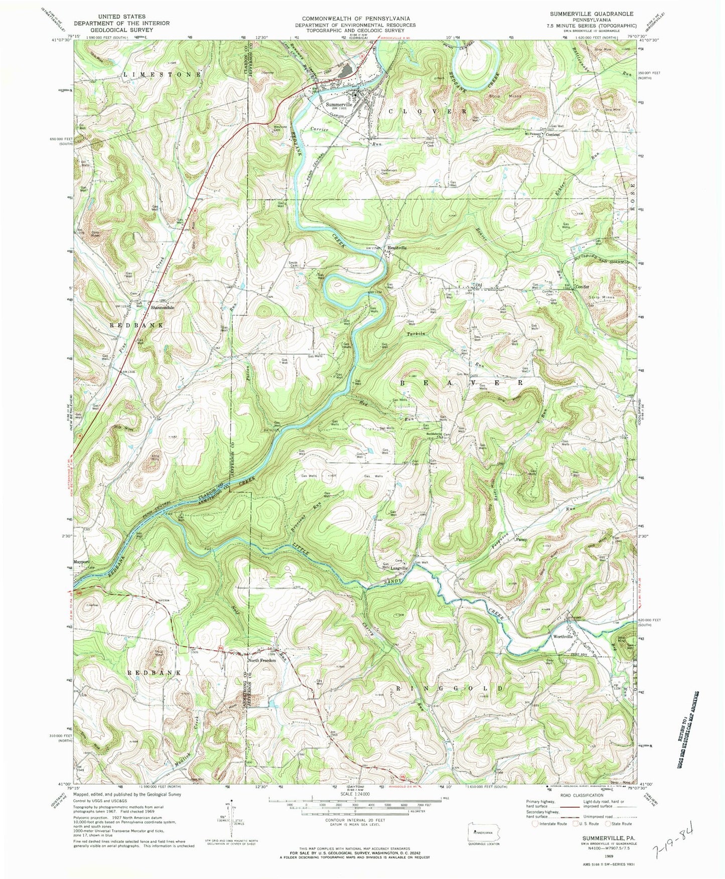
Classic USGS Summerville Pennsylvania 7.5'x7.5' Topo Map
Couldn't load pickup availability
Historical USGS topographic quad map of Summerville in the state of Pennsylvania. Map scale may vary for some years, but is generally around 1:24,000. Print size is approximately 24" x 27"
This quadrangle is in the following counties: Armstrong, Clarion, Jefferson.
The map contains contour lines, roads, rivers, towns, and lakes. Printed on high-quality waterproof paper with UV fade-resistant inks, and shipped rolled.
Contains the following named places: Beaver Run, Bethlehem Church, Bethlehem Lutheran Cemetery, Big Run, Borough of Summerville, Borough of Worthville, Brocious Run, Carrier Cemetery, Carrier Run, Cherry Run, Cliff School, Coleman School, Conifer, Conifer Cemetery, Content, Dinger School, Doverspike Number One Dam, Eckler Run, Ferguson Run, Freedom, Heathville, Himes School, Kemmer's Greenhouse, Langville, Langville United Methodist Cemetery, Little Sandy Creek, Living Church Cemetery, Miller Run, Mottern School, Mount Pleasant Church, Mount Pleasant School, Mount Pleasant United Methodist Cemetery, Nolf Run, North Freedom, North Freedom United Methodist Church Cemetery, Ohl, Ohl Cemetery, Pansy, Patton Run, Red Run, Reitz Run, Runaway Run, Shaffer's Greenhouse, Shannondale, Shannondale Union Cemetery, Smith Cemetery, Summerville, Summerville Post Office, Summerville Volunteer Fire Department Station 7, Tarkiln Run, Thomas School, Township of Beaver, Township of Ringgold, Trinity Reformed Cemetery, Troy, Vandervort Cemetery, Weaver School, Welch Run, Westview Cemetery, Worthville, Worthville Cemetery, Zion Cemetery, Zion School, ZIP Codes: 15770, 15784, 15864, 16240


