MyTopo
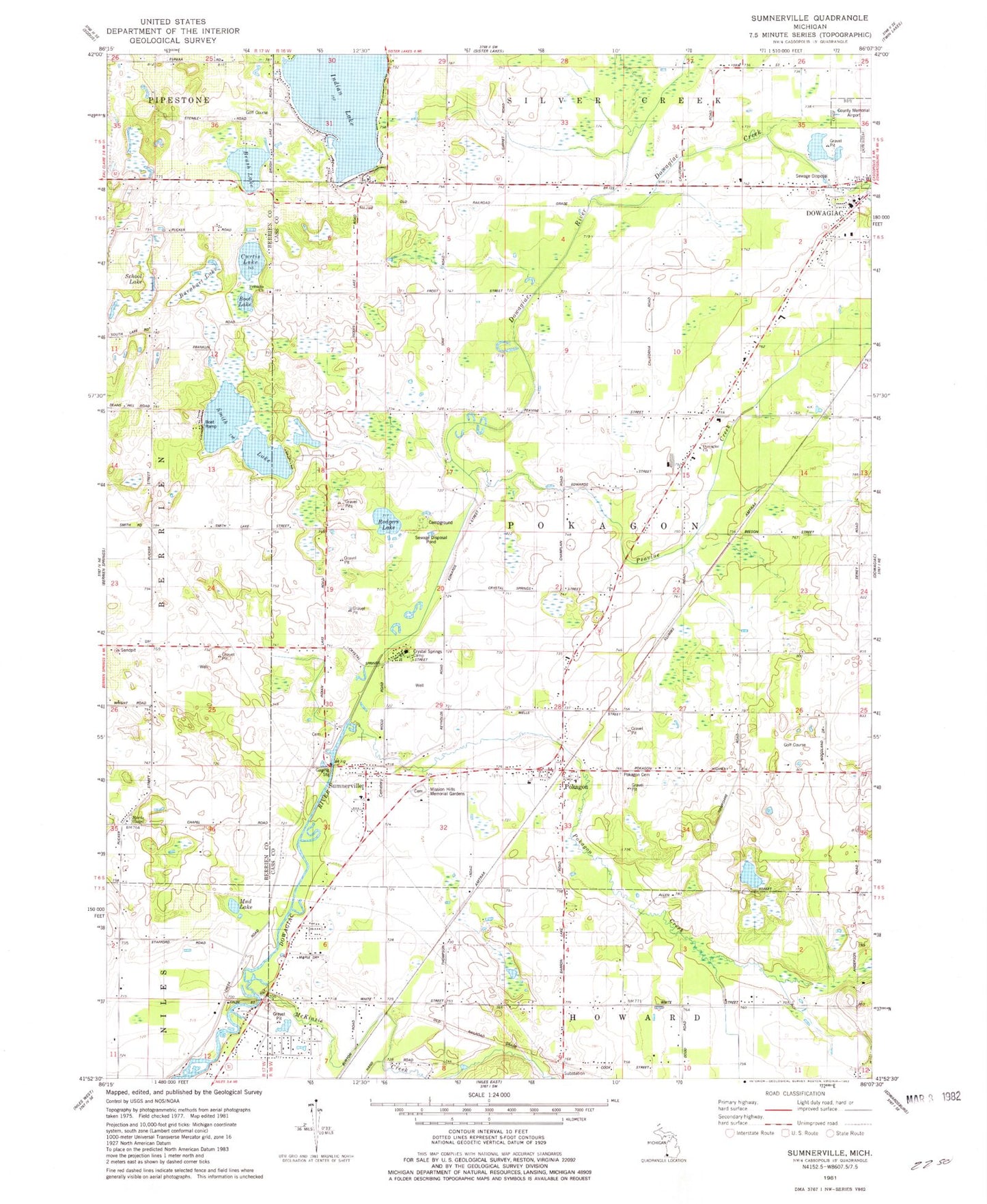
Classic USGS Sumnerville Michigan 7.5'x7.5' Topo Map
Couldn't load pickup availability
Historical USGS topographic quad map of Sumnerville in the state of Michigan. Map scale may vary for some years, but is generally around 1:24,000. Print size is approximately 24" x 27"
This quadrangle is in the following counties: Berrien, Cass.
The map contains contour lines, roads, rivers, towns, and lakes. Printed on high-quality waterproof paper with UV fade-resistant inks, and shipped rolled.
Contains the following named places: Allen School, Apostolic Lighthouse Church, Arthur Dodd Memorial Park, Bernhart Lake, Boot Lake, Brush Lake, California School, Champlain School, Crystal Springs Campground, Curtis Lake, Dowagiac Church, Dowagiac Creek, Evergreen Cemetery, Franklin Cemetery, Franklin Church, Franklin School, Hampshire Country Club, Hampshire Street School, Indian Lake, Indian Lake Hills Golf Course, Indian Lake Volunteer Fire Department, Jehovah's Witnesses, Mayflower School, McKinzie Creek, Methodist Episcopal Church, Mission Hills Memorial Gardens, Morris Chapel, Morris Chapel Cemetery, Morris Chapel Church Historical Marker, Mud Lake, National School, Old Rugged Cross/Methodist Episcopal Church Historical Marker, Peavine Creek, Peavine School, Pokagon, Pokagon Band of Potawatomi Indian Tribal Office, Pokagon Creek, Pokagon Post Office, Pokagon Station, Pokagon Tribal Police Department, Pokagon Volunteer Fire Department, Pucker Street School, Rodgers Cemetery, Rodgers Lake, School Lake, Smith Lake, Sumnerville, Sumnerville Baptist Church, Sumnerville Cemetery, Sumnerville Cemetery Historical Marker, Sumnerville Mounds Historical Marker, Sumnerville Post Office, Township of Pokagon, Union Church and Cemetery Historical Marker


