MyTopo
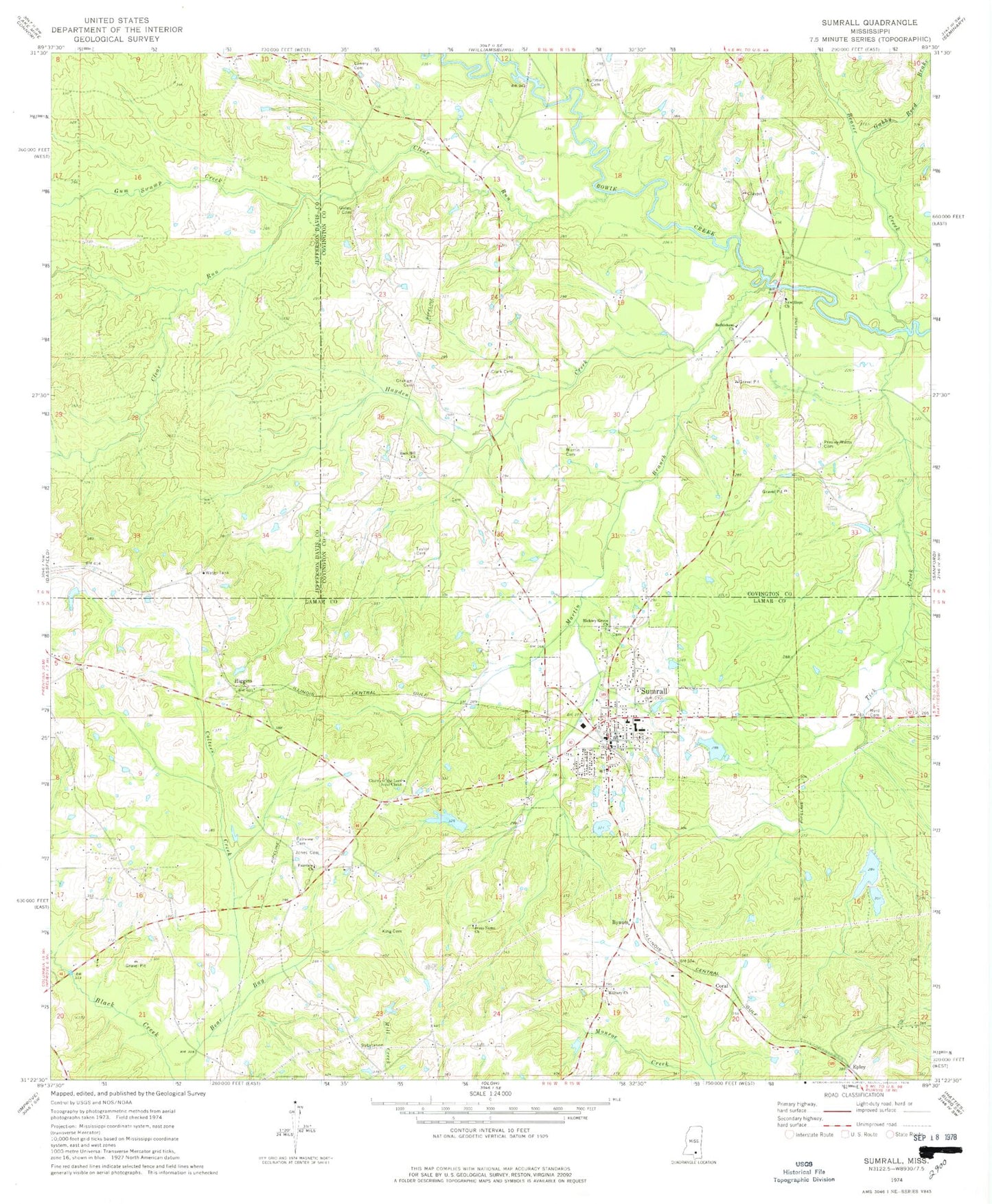
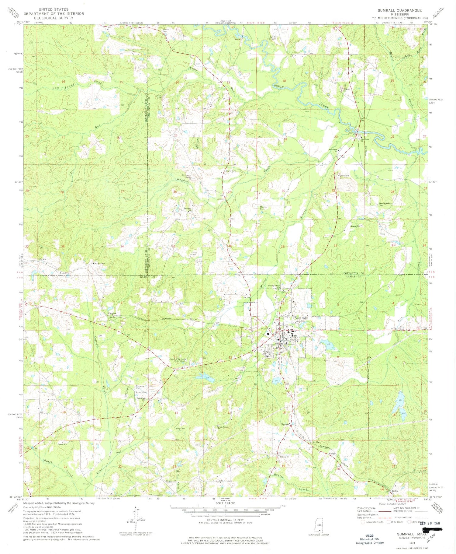
Classic USGS Sumrall Mississippi 7.5'x7.5' Topo Map
Couldn't load pickup availability
Historical USGS topographic quad map of Sumrall in the state of Mississippi. Map scale may vary for some years, but is generally around 1:24,000. Print size is approximately 24" x 27"
This quadrangle is in the following counties: Covington, Jefferson Davis, Lamar.
The map contains contour lines, roads, rivers, towns, and lakes. Printed on high-quality waterproof paper with UV fade-resistant inks, and shipped rolled.
Contains the following named places: Aultman Cemetery, Beaver Creek, Beavercreek School, Bethlehem Bovie School, Bethlehem Church, Bethlehem Church Cemetery, Bynum, Byrd Cemetery, C R Fortenberry Pond Dam, Church of the Lord Jesus Christ, Clark Cemetery, Clark School, Clear Run, Colters Creek, Cooks Branch, Coral, Epley, Fairview Cemetery, Fairview Church, First Baptist Church, First Pentecostal Church, Gabby Reed Brake, Gates Cemetery, Graham Cemetery, Graham School, Grahams Mill, Gum Swamp Creek, Hayden Creek, Hickory Grove Baptist Church, Hickory Grove Volunteer Fire Department, Higgins, Hudson Brothers Pond Dam, Jesus Name Church, Jones Cemetery, King Cemetery, Lowery Cemetery, Martin Branch, Martin Cemetery, Military Baptist Church, New Hope, New Hope Baptist Church, New Hope Cemetery, New Hope Line School, Presley Watts Cemetery, Rock Hill Church, Saint Louis Missionary Baptist Church, Sportsman Club Lake Dam, Sumrall, Sumrall Attendance Center, Sumrall Elementary School, Sumrall Fire Department, Sumrall Methodist Church, Sumrall Middle School, Sumrall Mill Creek, Sumrall Police Department, Sumrall Post Office, Sumrall Sportsman Club Dam Number 3, Taylor Cemetery, Threemile School, Tick Creek, Town of Sumrall, Watts Box


