MyTopo
Classic USGS Sun Mountain Washington 7.5'x7.5' Topo Map
Couldn't load pickup availability
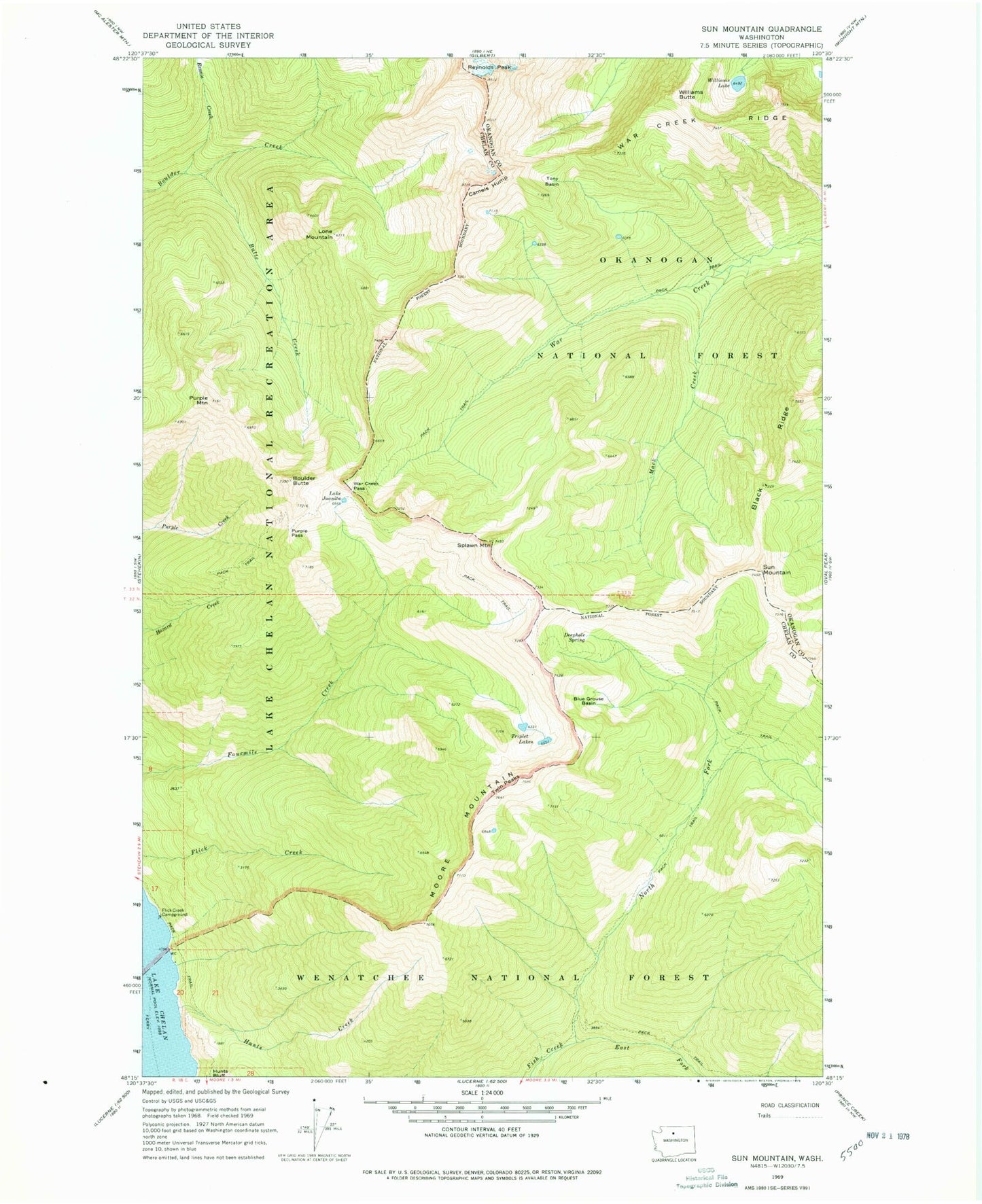
Historical USGS topographic quad map of Sun Mountain in the state of Washington. Typical map scale is 1:24,000, but may vary for certain years, if available. Print size: 24" x 27"
This quadrangle is in the following counties: Chelan, Okanogan.
The map contains contour lines, roads, rivers, towns, and lakes. Printed on high-quality waterproof paper with UV fade-resistant inks, and shipped rolled.
Contains the following named places: Black Ridge, Blue Grouse Basin, Boulder Butte, Butte Creek, Camels Hump, Deephole Spring, East Fork Fish Creek, Flick Creek Campground, Hunts Creek, Lake Juanita, Lone Mountain, Mack Creek, Moore Mountain, North Fork Fish Creek, Purple Mountain, Purple Pass, Rennie Creek, Splawn Mountain, Sun Mountain, Tony Basin, Triplet Lakes, Twin Peaks, War Creek Pass, War Creek Ridge, Williams Butte, Williams Lake