MyTopo
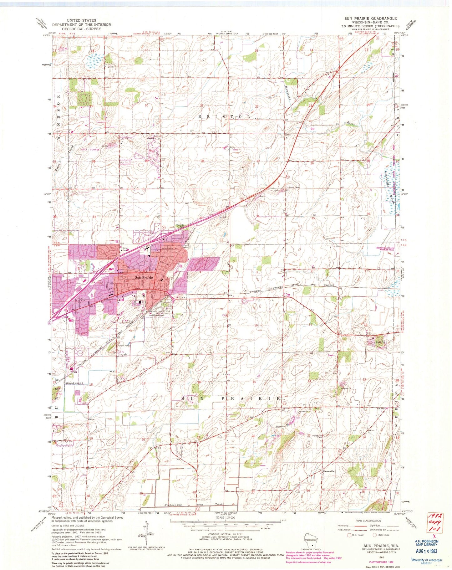
Classic USGS Sun Prairie Wisconsin 7.5'x7.5' Topo Map
Couldn't load pickup availability
Historical USGS topographic quad map of Sun Prairie in the state of Wisconsin. Map scale may vary for some years, but is generally around 1:24,000. Print size is approximately 24" x 27"
This quadrangle is in the following counties: Dane.
The map contains contour lines, roads, rivers, towns, and lakes. Printed on high-quality waterproof paper with UV fade-resistant inks, and shipped rolled.
Contains the following named places: Angel Park, Bailey Farms, Bird Elementary School, Bradley Farms, Brazee Lake, Brazee Swamp, Bristol Church, Bristol Lutheran Cemetery, Burgess Corners, Buss's Corners, Calvary Baptist Christian School, Chase Grain Elevator, City of Sun Prairie, City View Heights, Drovers Woods, Eastside Elementary School, Hilton Estates, Northside Elementary School, Patrick Marsh Middle School, Peace Evangelical Lutheran Church, Peace Lutheran School, Pebble Valley, Pierceville, Pierceville Cemetery, Porter Farms, Prairie Meadow Farms, Prairie Phoenix Academy, Prairie View Heights, Sacred Hearts of Jesus and Mary Catholic Church, Sacred Hearts of Jesus and Mary Cemetery, Sacred Hearts School, Schey Acres, Selzner Farms, Sherwood Forest Heights, Sun Prairie, Sun Prairie Cemetery, Sun Prairie Emergency Medical Services Station 1, Sun Prairie Fire and Rescue Comany Station 1, Sun Prairie High School, Sun Prairie Memory Garden, Sun Prairie Police Department East Precinct, Sun Prairie Post Office, Sun Prairie Wastewater Treatment Facility, Sweet Cemetery, Town of Bristol, Town of Sun Prairie, United Methodist Church of Sun Prairie, West Bristol Cemetery, Westside Elementary School, WMAD-AM (Sun Prairie), ZIP Code: 53590


