MyTopo
Classic USGS Sunbury Ohio 7.5'x7.5' Topo Map
Couldn't load pickup availability
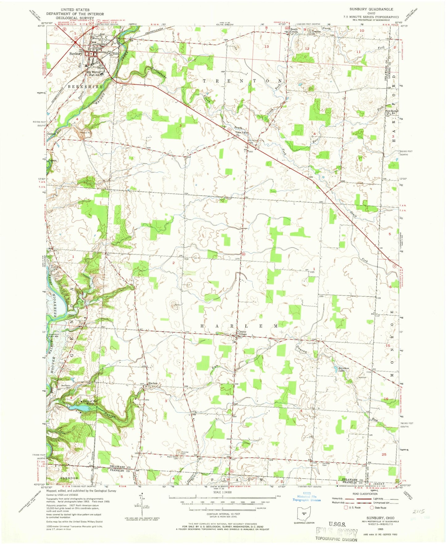
Historical USGS topographic quad map of Sunbury in the state of Ohio. Map scale may vary for some years, but is generally around 1:24,000. Print size is approximately 24" x 27"
This quadrangle is in the following counties: Delaware, Franklin, Licking.
The map contains contour lines, roads, rivers, towns, and lakes. Printed on high-quality waterproof paper with UV fade-resistant inks, and shipped rolled.
Contains the following named places: August Acres Airport, Berkshire - Sunbury - Trenton - Galena Fire District Station 350, Big Walnut High School, Big Walnut Intermediate School, Burrers Mill, Center Village, Center Village Cemetery, Center Village Methodist Church, Center Village Post Office, Community Library on the Square, Condit United Presbyterian Church, Copeland Cemetery, Double H Farms, Duncan Run, East Fork Rattlesnake Creek, Fancher Cemetery, First Baptist Church of Sunbury, Gaylord Mill, Greyland Estates, Hanover Cemetery, Harlem, Harlem Cemetery, Harlem Methodist Church, Harlem Post Office, Harlem Township Division of Fire Station 450, Harlem Township Hall, Hoover Woods, Hunt Cemetery, Keller Pines, Lake of the Woods, Maple Grove Cemetery, Miller Valley Farm, New Bethel Church, New Hope Methodist Church, North Fork Rattlesnake Creek, Prairie Run, Rainbow Lake, Ralph, Ralph Post Office, Rattlesnake Creek, Red Banks Cemetery, South Condit, South Fork Rattlesnake Creek, Sunbury, Sunbury Institute, Sunbury Memorial Park, Sunbury Police Department, Sunbury Post Office, Sunbury Township Hall, Sunbury Upground Reservoir Number One, Sunbury Upground Reservoir Number One Dam, Sunbury Upground Reservoir Number Two, Sunbury Upground Reservoir Number Two Dam, Sunbury Wesleyan Methodist Church, Township of Harlem, Township of Sunbury Village, Township of Trenton, Trenton Cemetery, Vanns Valley Post Office, Vans Valley, Vans Valley Cemetery, Vans Valley Church, Walnut Creek, WBBY-FM (Westerville), Westerville Estates, Wickhieser Cemetery, Windale Farms, ZIP Code: 43021


