MyTopo
Classic USGS Sundale NW Oregon 7.5'x7.5' Topo Map
Regular price
$16.95
Regular price
Sale price
$16.95
Unit price
per
Couldn't load pickup availability
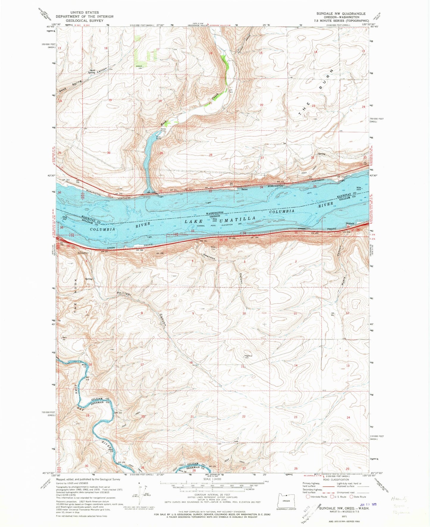
Historical USGS topographic quad map of Sundale NW in the states of Oregon, Washington. Map scale may vary for some years, but is generally around 1:24,000. Print size is approximately 24" x 27"
This quadrangle is in the following counties: Gilliam, Klickitat, Sherman.
The map contains contour lines, roads, rivers, towns, and lakes. Printed on high-quality waterproof paper with UV fade-resistant inks, and shipped rolled.
Contains the following named places: Bates, Blalock, Blalock Flat, Myers Canyon, Paterson Slough, Philippi Canyon, Quinook, Quinton, Quinton Post Office, Ramsey, Rock Creek, Rock Creek Treaty Fishing Access Site, Sand Spring, Swanson Canyon, The Burn