MyTopo
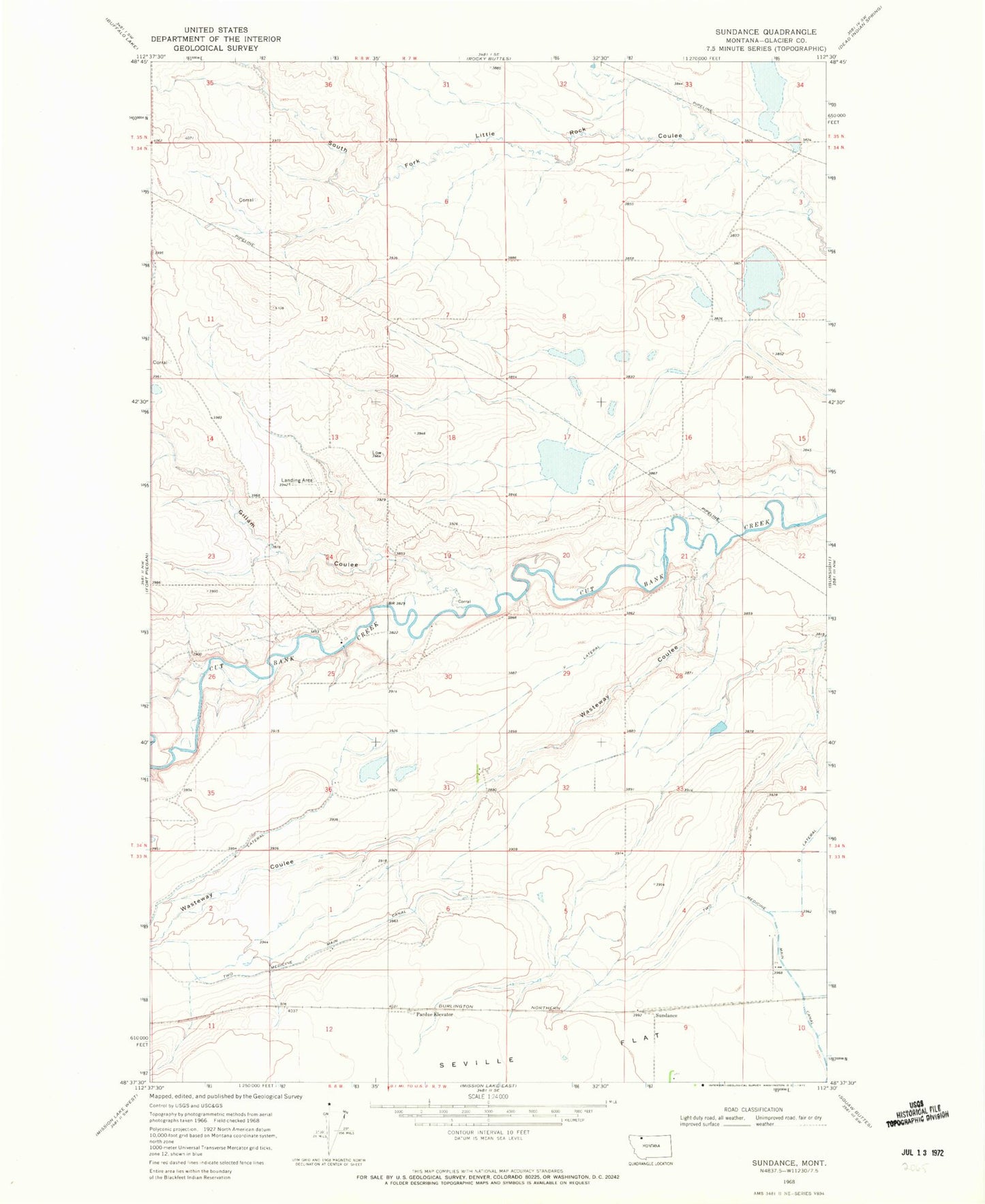
Classic USGS Sundance Montana 7.5'x7.5' Topo Map
Couldn't load pickup availability
Historical USGS topographic quad map of Sundance in the state of Montana. Map scale may vary for some years, but is generally around 1:24,000. Print size is approximately 24" x 27"
This quadrangle is in the following counties: Glacier.
The map contains contour lines, roads, rivers, towns, and lakes. Printed on high-quality waterproof paper with UV fade-resistant inks, and shipped rolled.
Contains the following named places: 33N07W09CDDB01 Well, 34N07W06ABAA01 Well, 34N07W30BCAC01 Spring, 34N07W30BCCC01 Well, Camden, Gillam Coulee, Mountain View Elementary, Pardue Elevator, Pardue Sammons Spur, Q Lateral, Seville Colony, Seville Colony Census Designated Place, Seville Post Office, Sundance, Wasteway Coulee