MyTopo
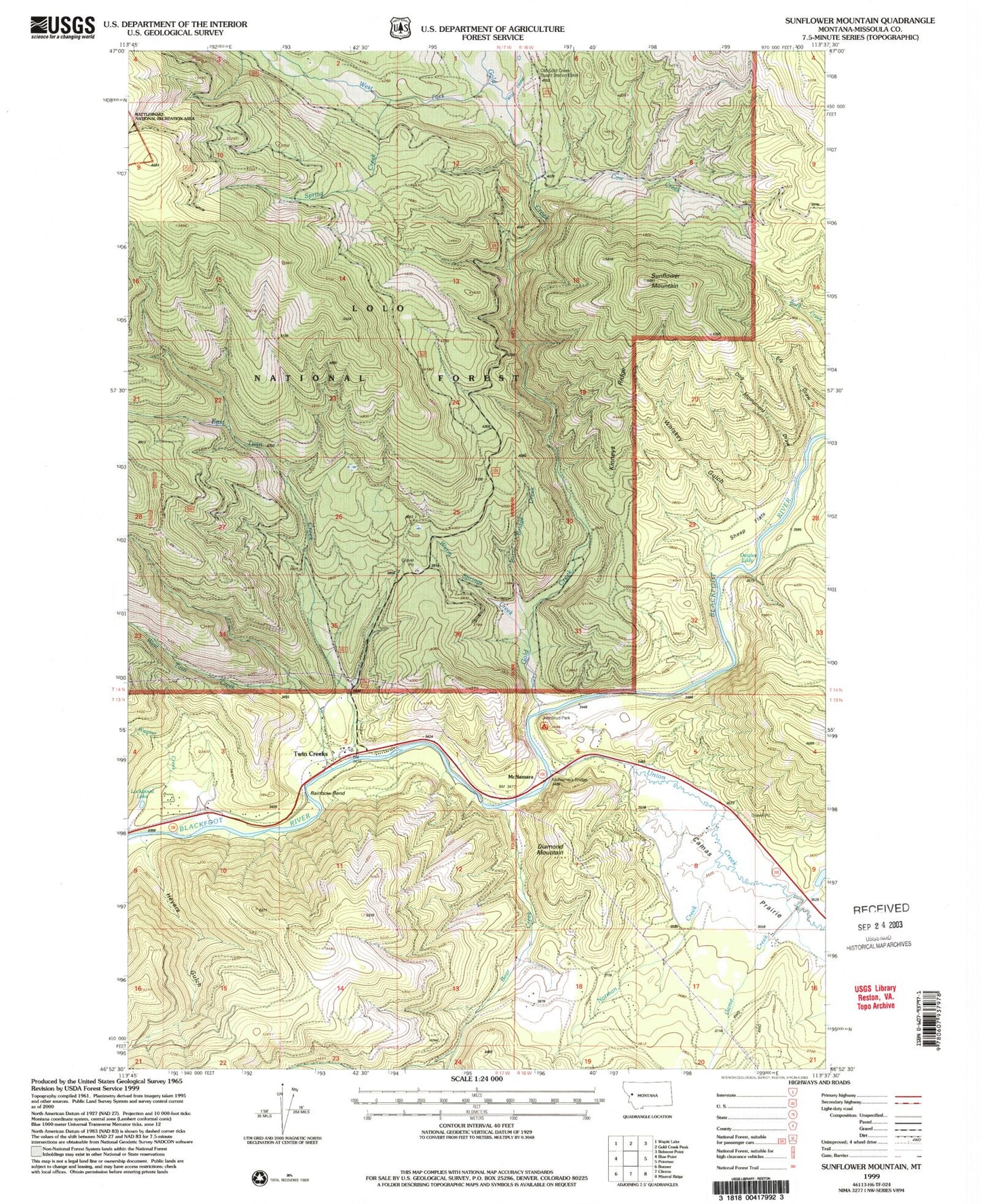
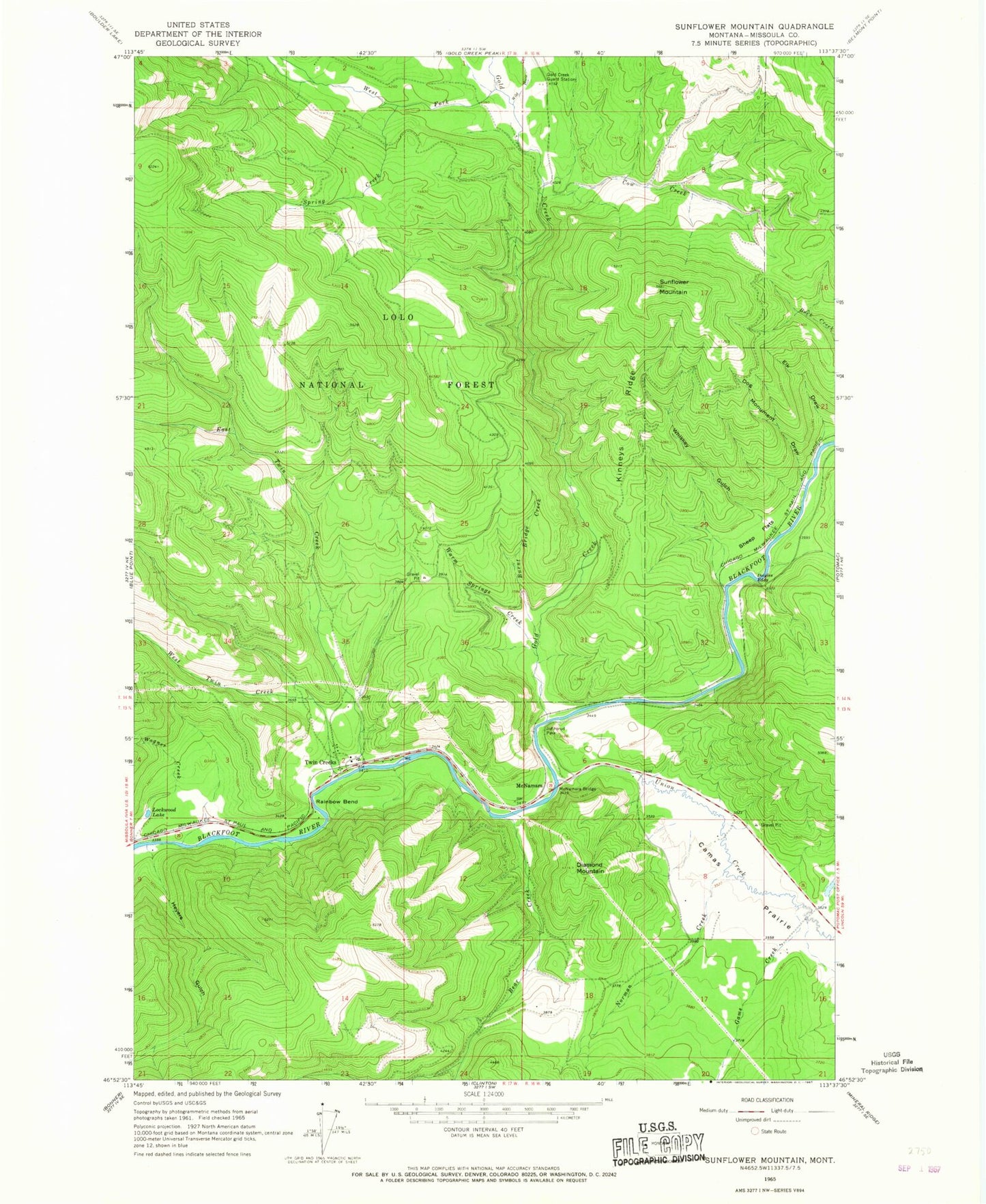
Classic USGS Sunflower Mountain Montana 7.5'x7.5' Topo Map
Couldn't load pickup availability
Historical USGS topographic quad map of Sunflower Mountain in the state of Montana. Map scale may vary for some years, but is generally around 1:24,000. Print size is approximately 24" x 27"
This quadrangle is in the following counties: Missoula.
The map contains contour lines, roads, rivers, towns, and lakes. Printed on high-quality waterproof paper with UV fade-resistant inks, and shipped rolled.
Contains the following named places: Bear Creek, Blackfoot Junction, Burnt Bridge Creek, Cow Creek, Daigles Eddy, Daigles Eddy Fishing Access Site, Diamond Mountain, Dog Monument Draw, Douglas, East Twin Creek, Elk Draw, Game Creek, Gold Creek, Gold Creek Guard Station, Heyers Gulch, Johnsrud Park, Johnsrud Park Fishing Access Site, Johnsrud Park Recreation Site, K Ross Toole Fishing Access Site, Lepus Dam, Lockwood, Lockwood Lake, McNamara, McNamara Bridge, McNamara School, Norman Creek, Red Rocks Fishing Access Site, Sheep Flats, Sheep Flats Fishing Access Site, Spring Creek, Sunflower Mountain, Twin Creek Camp, Twin Creeks, Twin Creeks Census Designated Place, Twin Creeks Post Office, Union Creek, Wagner Creek, Warm Springs Creek, West Fork Gold Creek, West Twin Creek, Whiskey Gulch, Wild Horse Creek


