
MyTopo
Classic USGS Sunniland Florida 7.5'x7.5' Topo Map
Regular price
$16.95
Regular price
Sale price
$16.95
Unit price
per
Couldn't load pickup availability
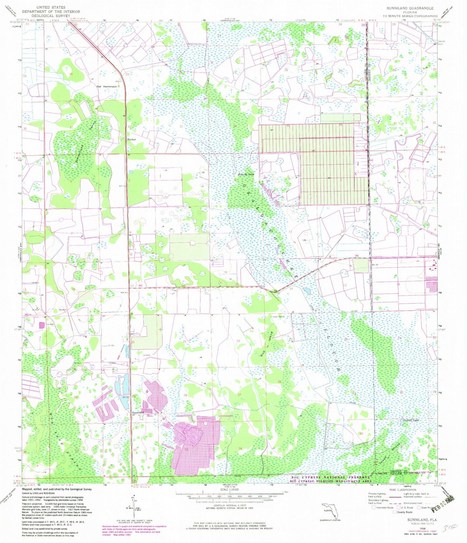
Historical USGS topographic quad map of Sunniland in the state of Florida. Map scale may vary for some years, but is generally around 1:24,000. Print size is approximately 24" x 27"
This quadrangle is in the following counties: Collier, Hendry.
The map contains contour lines, roads, rivers, towns, and lakes. Printed on high-quality waterproof paper with UV fade-resistant inks, and shipped rolled.
Contains the following named places: Cattail Lake, Harker, Hendry Correctional Institution, Immokalee Division, Mud Lake Strand, Okaloacoochee Slough, Owl Hammock, Roberts Lake, Sick Island, Summerland Swamp, Sunniland, WCOO-FM (Immokalee), ZIP Code: 34142


