
MyTopo
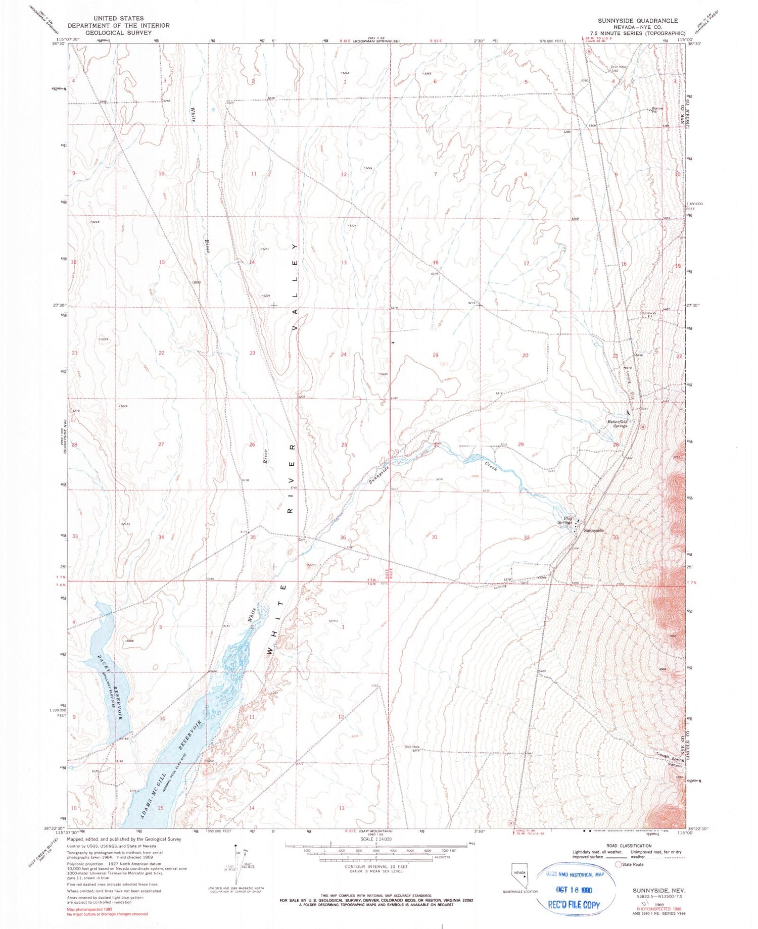
Classic USGS Sunnyside Nevada 7.5'x7.5' Topo Map
Couldn't load pickup availability
Historical USGS topographic quad map of Sunnyside in the state of Nevada. Map scale may vary for some years, but is generally around 1:24,000. Print size is approximately 24" x 27"
This quadrangle is in the following counties: Lincoln, Nye.
The map contains contour lines, roads, rivers, towns, and lakes. Printed on high-quality waterproof paper with UV fade-resistant inks, and shipped rolled.
Contains the following named places: Adams-McGill Reservoir, Butterfield Springs, CCC Camp, Dacey Dam, Dacey Reservoir, Flag Springs, Hendrix Ranch, Sunnyside, Sunnyside Creek, Sunnyside Post Office, Sunnyside Whipple Ranch, Sunnyside-Kirch Wildlife Management Area Airport, Trough Spring Canyon, Wayne E Kirch Wildlife Management Area, Whipple Ranch


