MyTopo
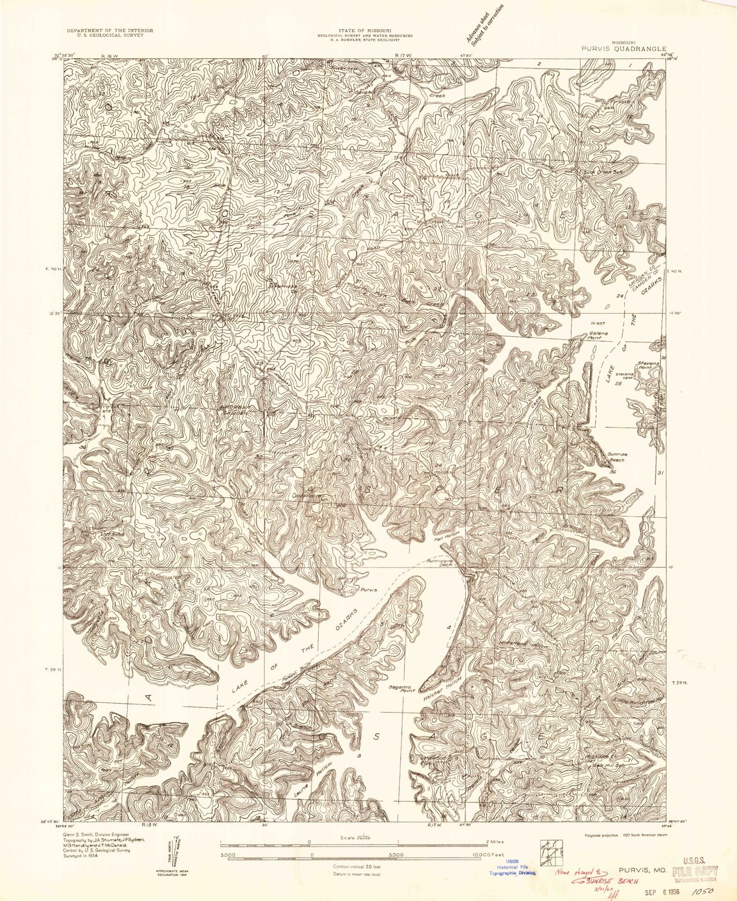
Classic USGS Sunrise Beach Missouri 7.5'x7.5' Topo Map
Couldn't load pickup availability
Historical USGS topographic quad map of Sunrise Beach in the state of Missouri. Map scale may vary for some years, but is generally around 1:24,000. Print size is approximately 24" x 27"
This quadrangle is in the following counties: Camden, Morgan.
The map contains contour lines, roads, rivers, towns, and lakes. Printed on high-quality waterproof paper with UV fade-resistant inks, and shipped rolled.
Contains the following named places: Alcorn Hollow, Bar-Vik Airport, Bond Cemetery, Bond School, Brush Creek, Buck Creek, Buck Creek Cove, Buck Creek School, Buckley Cemetery, Camp Branch, Cape Galena, Cape Galena Cemetery, Cape Hollow, City of Laurie, Corcyra, Cozy Cove, Deicel Hollow, Dry Branch, Easter Hollow Cove, Evansview Church of Christ, Folsom Bluff, Galena Point, Garber Memorial Cemetery, Gravois Fire Protection District Station 5, Gravois Fire Protection District Station 7, Hurricane Deck, Hurricane Deck Lookout Tower, Jenkins Hollow, John Hill Hollow, Kent Memorial Church, Kinchlow Hollow, Lakeland Church, Laurie, Laurie Police Department, Little Kinchlow Hollow, Lynch Hollow, McFarland Hollow, Mill Creek, Mistwood Airport, Moonlight Bay, Mount Sinai School, North Buck Creek Cove, North Fork Buck Creek, Oak Hill School, Ozark Chapel, Porter Mill Bend, Porter Mill Hollow, Possum Hollow, Purvis, Rockdale Cemetery, Rockdale Church, Sagamo Point, Saint Patrick Cemetery, Saint Patricks Church, Shrine of Saint Patrick, Silvey Cemetery, South Fork Mill Creek, Spring Cove, Staley Hollow, Stevens Cemetery, Stevens Point, Still Water Bay, Sugartree Hollow, Sunrise Beach, Sunrise Beach Fire Department, Sunrise Beach Fire Department Station 1, Sunrise Beach Fire Department Station 2 Headquarters, Sunrise Beach Police Department, Sunrise Beach Post Office, Sunrise Church, Township of Jasper, Twin Islands, Village of Sunrise Beach, Welcher Hollow, White Hall School, ZIP Code: 65037


