MyTopo
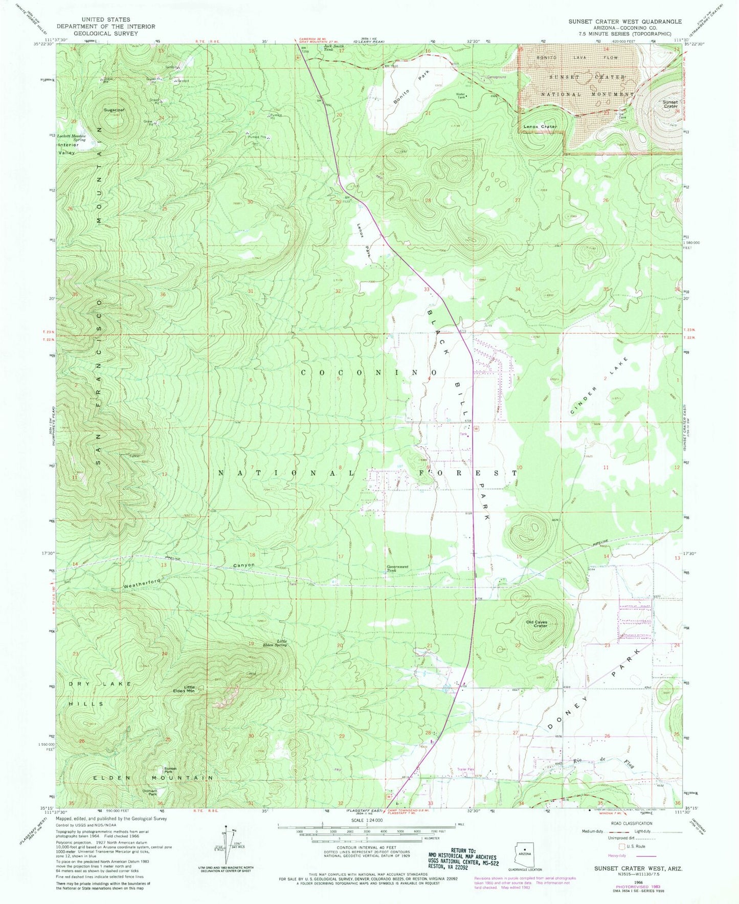
Classic USGS Sunset Crater West Arizona 7.5'x7.5' Topo Map
Couldn't load pickup availability
Historical USGS topographic quad map of Sunset Crater West in the state of Arizona. Typical map scale is 1:24,000, but may vary for certain years, if available. Print size: 24" x 27"
This quadrangle is in the following counties: Coconino.
The map contains contour lines, roads, rivers, towns, and lakes. Printed on high-quality waterproof paper with UV fade-resistant inks, and shipped rolled.
Contains the following named places: Black Bill Park, Bonito Lava Flow, Bonito Park, Cinder Lake, Doney Park, Dry Lake Hills, Government Tank, Interior Valley, Jack Smith Tank, Lenox Crater, Lenox Park, Little Elden Mountain, Little Elden Spring, Lockett Meadow Spring, Old Caves Crater, Oldham Park, Sugarloaf Peak, Sunset Crater, Sunset Crater Volcano National Monument, Sunset Park, Weatherford Canyon, Black Bill Tank, Bonito Recreation Site, Jack Smith Spring Number Two, Lenoux Tank, Railroad Tank, Thompson Tank, Deer Hill, Fort Valley Experimental Forest, Eighty-nine Tank, Lennox Tank, Summit Tank, NPS VIS Center, Locket Meadow Tank, Lava Flow Trail, Sunset Crater Volcano National Monument Visitor Center, Lenox Trail, Peaks Ranger District, Bonita Lava Flow, Little Elden Sping Horse Camp, Little Elden Spring Horse Camp, Kachina Peaks Wilderness, Cromer Elementary School, Carden of the Peaks School, Doney Park Census Designated Place, Silver Saddle Mobile Home Park, Wheel Inn Mobile Home Park, J and H Recreational Vehicle Park, Calvary Chapel of Flagstaff, East Valley Baptist Church, Lord of Life Lutheran Church, Northland Baptist Church, City of Flagstaff Cinder Lakes Landfill, Summit Fire District Station 33, Summit Fire District Station 32, Timberline-Fernwood Census Designated Place


