MyTopo
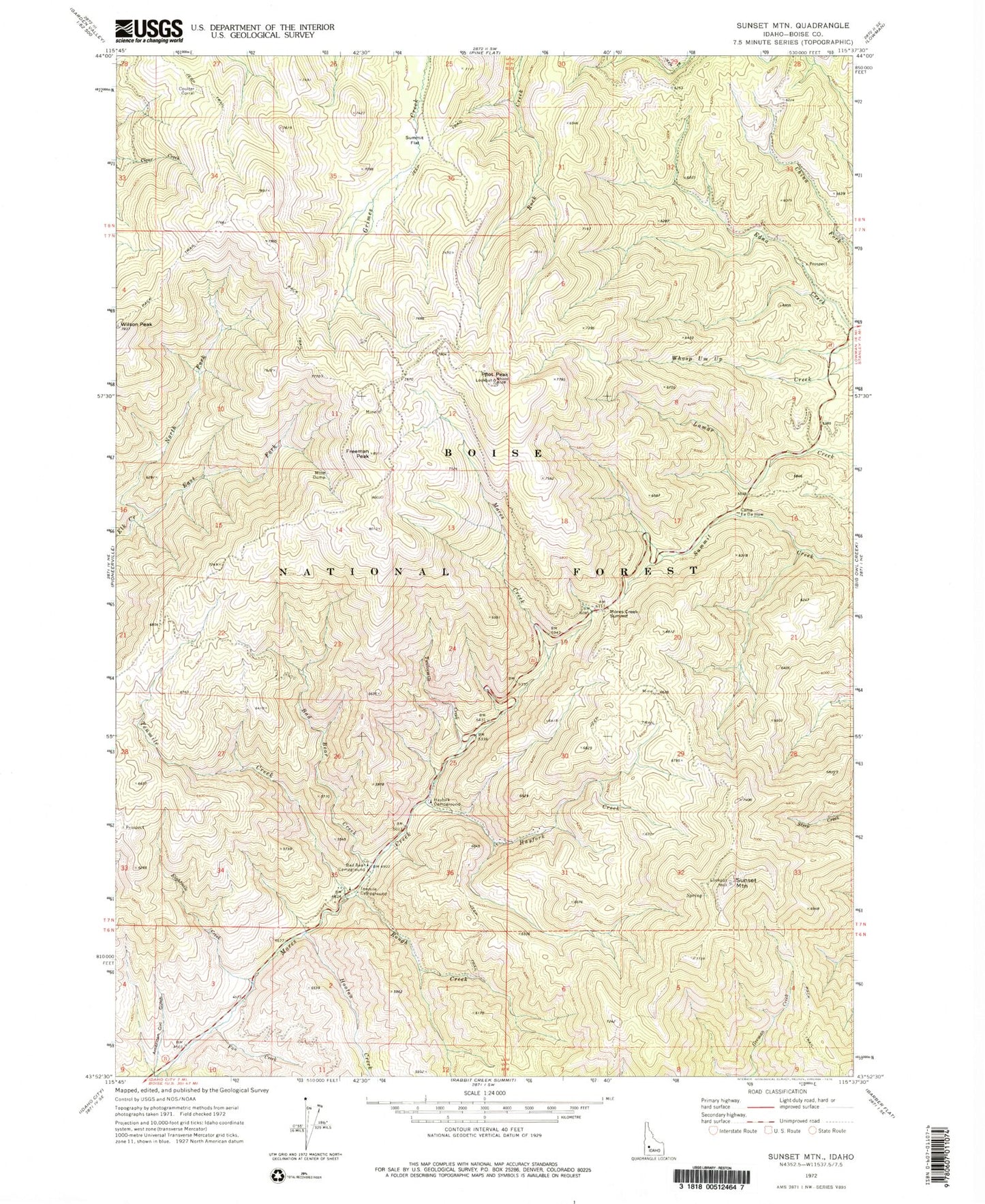
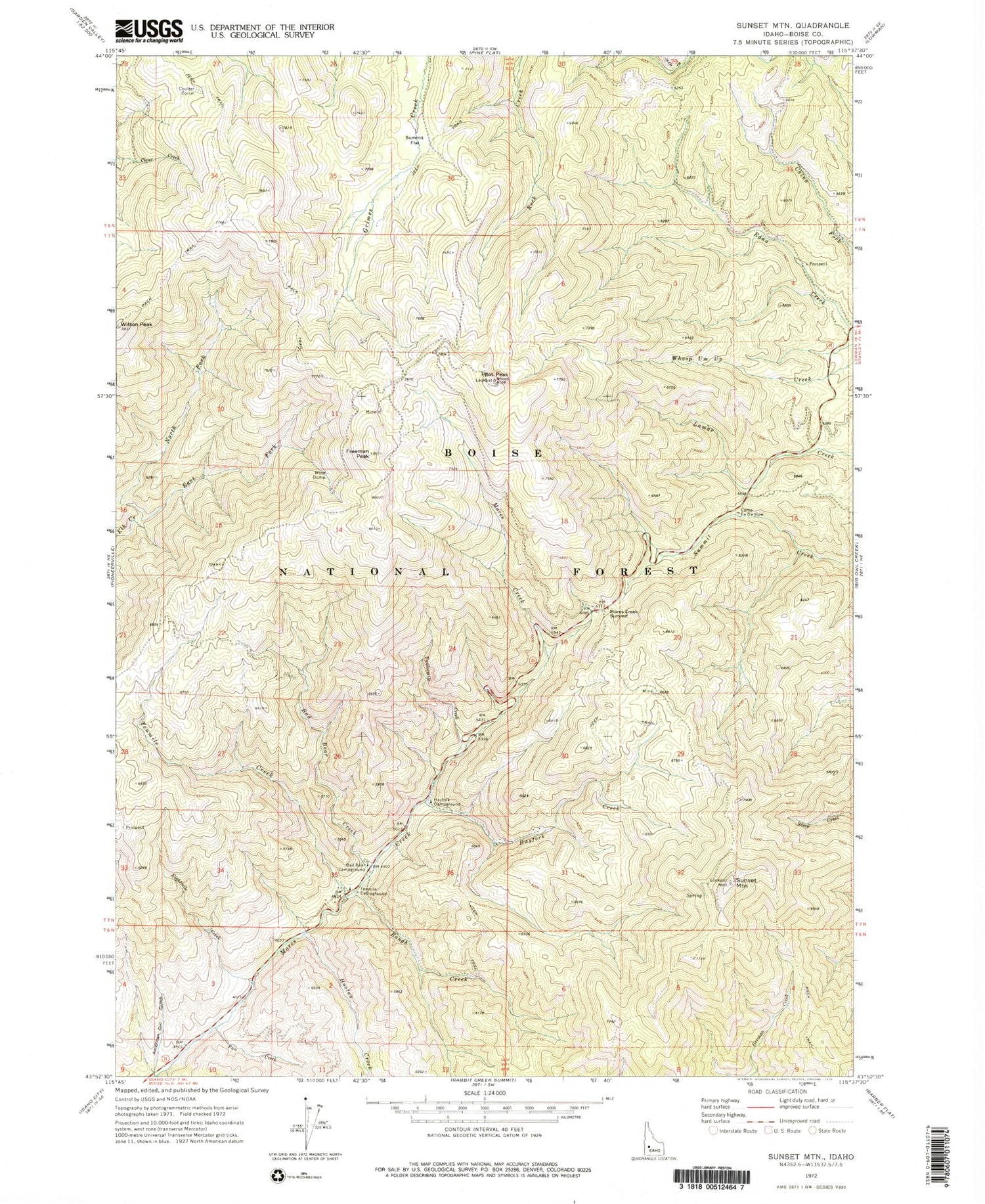
Classic USGS Sunset Mountain Idaho 7.5'x7.5' Topo Map
Couldn't load pickup availability
Historical USGS topographic quad map of Sunset Mountain in the state of Idaho. Map scale may vary for some years, but is generally around 1:24,000. Print size is approximately 24" x 27"
This quadrangle is in the following counties: Boise.
The map contains contour lines, roads, rivers, towns, and lakes. Printed on high-quality waterproof paper with UV fade-resistant inks, and shipped rolled.
Contains the following named places: American Girl Gulch, Bad Bear Campground, Bad Bear Creek, Boise County, Camp Ee Da How, Coulter Corral, East Fork Elk Creek, Eightmile Creek, Fan Creek, Freeman Peak, Hayfork Campground, Hayfork Creek, Hooton Creek, Mores Creek Summit, Mores Creek Summit Recreation Site, North Fork Elk Creek, Pilot Peak, Rough Creek, Summit Flat, Sunset Mountain, Tenmile Campground, Tenmile Creek, Tenmile Summer Home Area, Twelvemile Creek, Whoop Um Up Recreation Site


