MyTopo
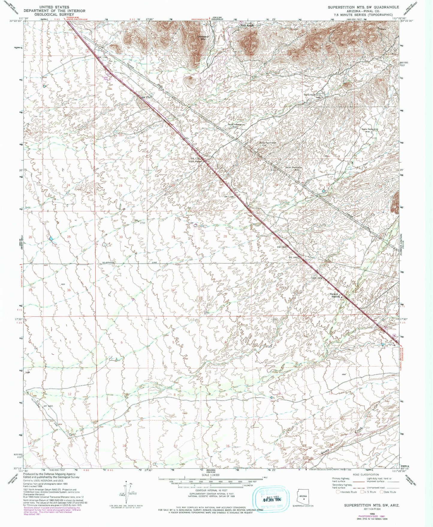
Classic USGS Superstition Mountains SW Arizona 7.5'x7.5' Topo Map
Couldn't load pickup availability
Historical USGS topographic quad map of Superstition Mountains SW in the state of Arizona. Map scale may vary for some years, but is generally around 1:24,000. Print size is approximately 24" x 27"
This quadrangle is in the following counties: Pinal.
The map contains contour lines, roads, rivers, towns, and lakes. Printed on high-quality waterproof paper with UV fade-resistant inks, and shipped rolled.
Contains the following named places: Dinosaur Mountain, Gold Canyon, Gold Canyon Census Designated Place, Gold Canyon Elementary School, Gold Canyon Golf Resort, Gold Canyon Ranch, Gold Canyon Recreational Vehicle Ranch Golf Course, Gold Canyon United Methodist Church, KVVA-FM (Apache Junction), Mountain Brook Golf Club, Navajo Station, Peralta Trail Elementary School, Pinal County Sheriff's Office Gold Canyon Region A, RRR Ranch, Sandpointe Mobile Home Park, Sandpointe Recreational Vehicle Park, Superstition Fire and Medical District Station 264, Superstition Foothills Baptist Church, Superstition Mountain Monument


