MyTopo
Classic USGS Surfside Beach South Carolina 7.5'x7.5' Topo Map
Couldn't load pickup availability
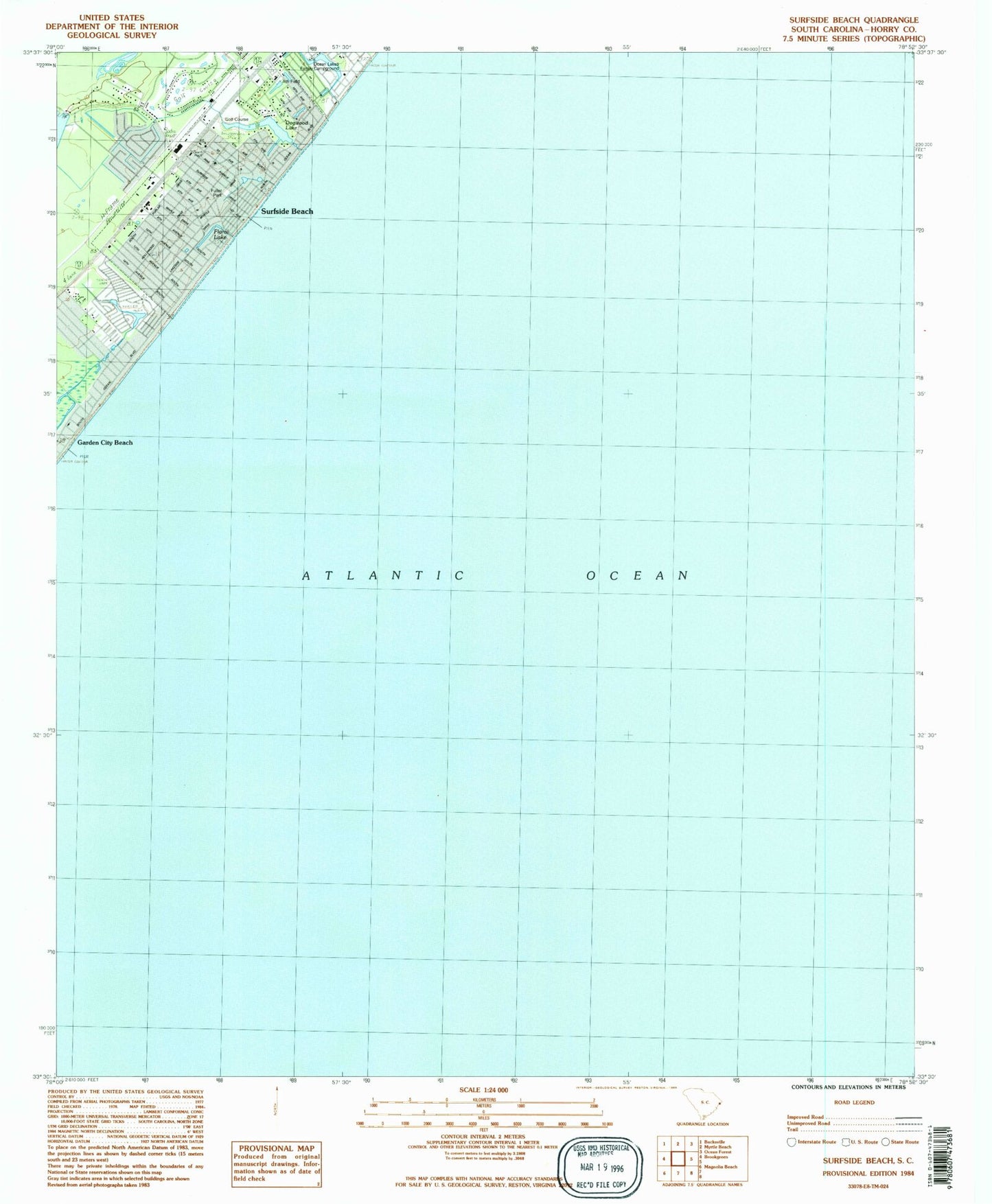
Historical USGS topographic quad map of Surfside Beach in the state of South Carolina. Map scale may vary for some years, but is generally around 1:24,000. Print size is approximately 24" x 27"
This quadrangle is in the following counties: Georgetown, Horry.
The map contains contour lines, roads, rivers, towns, and lakes. Printed on high-quality waterproof paper with UV fade-resistant inks, and shipped rolled.
Contains the following named places: Caropine, Deer Track Golf Club, Dogwood Lake, Episcopal Church of the Resurrection, First Baptist Church of Surfside, Floral Lake, Garden City Baptist Church, Grand Strand Tennis Club, Heron Point Golf Club, Horry County Fire Department Surfside, Horry County Memorial Library Surfside Branch, Indian Wells Golf Club, Indigo Creek Golf Club, Long Bay, Longleaf, Murrells Inlet Fire Department Station 77, Ocean Lakes Family Campground, Oceanside Village, Seacroft, Surf Pines, Surfside Beach, Surfside Beach Fire Department Surfside Beach, Surfside Beach Police Department, Surfside Beach Post Office, Surfside Beach Town Hall, Surfside Fishing Pier, Town of Surfside Beach