MyTopo
Classic USGS Surprise Station California 7.5'x7.5' Topo Map
Couldn't load pickup availability
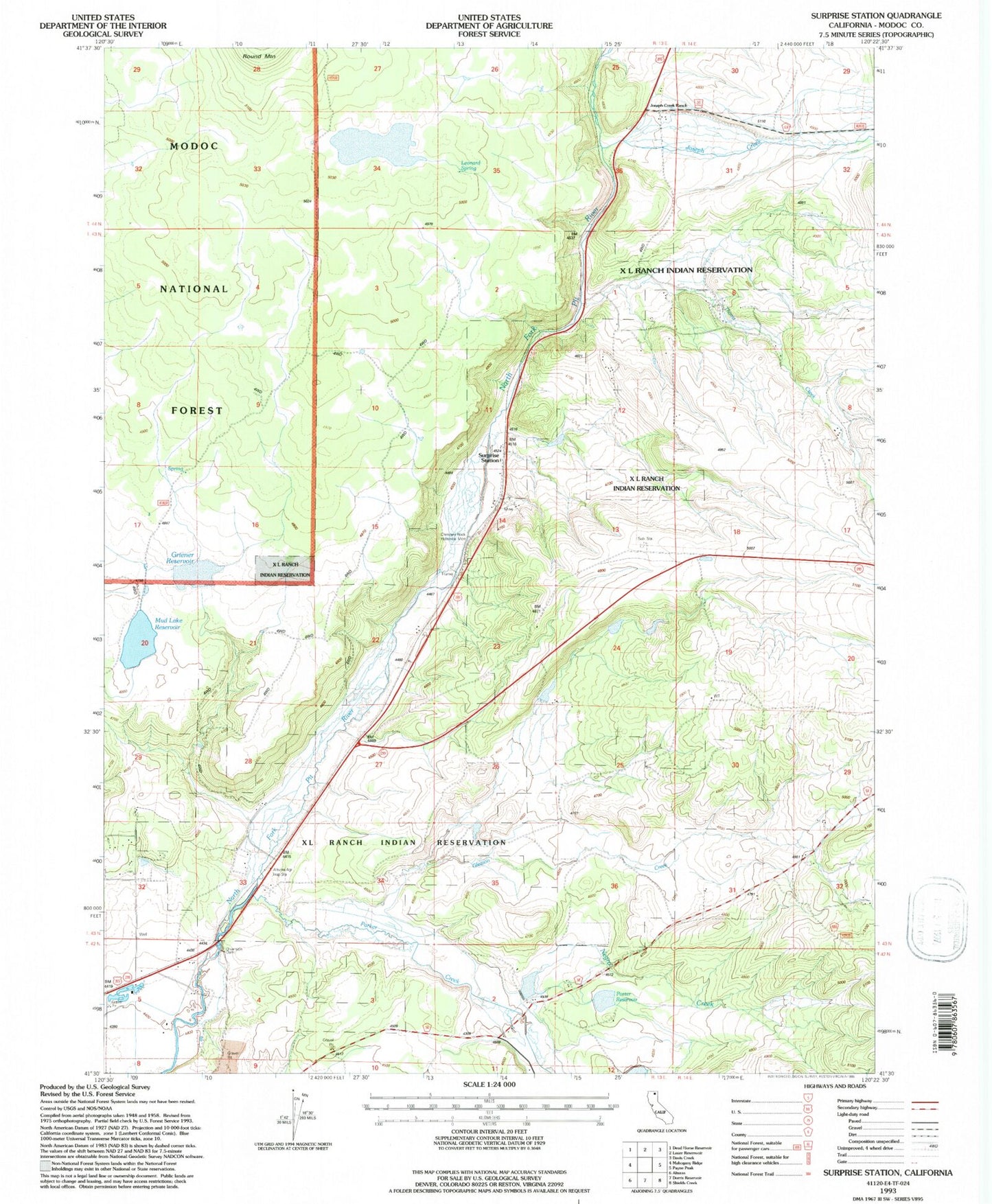
Historical USGS topographic quad map of Surprise Station in the state of California. Map scale may vary for some years, but is generally around 1:24,000. Print size is approximately 24" x 27"
This quadrangle is in the following counties: Modoc.
The map contains contour lines, roads, rivers, towns, and lakes. Printed on high-quality waterproof paper with UV fade-resistant inks, and shipped rolled.
Contains the following named places: Alturas Agricultural Inspection Station, Chimney Rock Historical Monument, Gleason Creek, Griener Reservoir, James Porter 1123-002 Dam, Joseph Creek, Joseph Creek Ranch, Kelley and Greiner 133 Dam, KYAX-FM (Alturas), Leonard Spring, Mud Lake 129-005 Dam, Mud Lake Reservoir, Negro Creek, Parker Creek, Porter Reservoir, Surprise Station, Thoms Creek, XL Ranch Rancheria