MyTopo
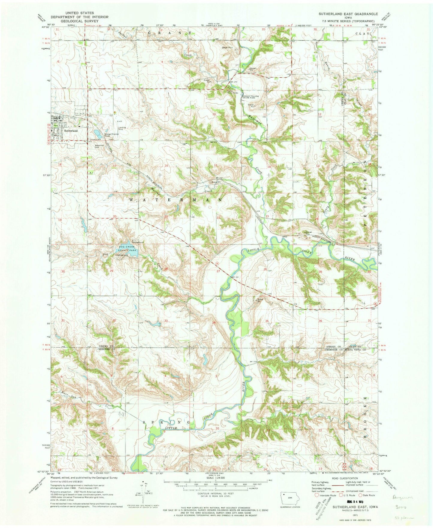
Classic USGS Sutherland East Iowa 7.5'x7.5' Topo Map
Couldn't load pickup availability
Historical USGS topographic quad map of Sutherland East in the state of Iowa. Map scale may vary for some years, but is generally around 1:24,000. Print size is approximately 24" x 27"
This quadrangle is in the following counties: Buena Vista, Cherokee, Clay, O'Brien.
The map contains contour lines, roads, rivers, towns, and lakes. Printed on high-quality waterproof paper with UV fade-resistant inks, and shipped rolled.
Contains the following named places: Bethel Lutheran Church, Calvary Cemetery, Camp Yo-Lo-To-Go, City of Sutherland, Dog Creek, Dog Creek County Park, Dog Creek Dam, First Settlement in O'Brien County Historical Marker, Fred Fieldman Grave, General N B Baker Library, Hannibal Waterman Cemetery, Henry Creek, Hill Little Sioux Overlook, Indian Village State Park, Jordan Creek, Jurgensen Farms, Lenhart Dairy, McCormack Area, Millies Rest Home, Murray Creek, Negus Recreation Area, O'Brien, O'Brien Post Office, Old Dutch Fred Access, Sacred Heart Catholic Church, Soo River Access, Sutherland, Sutherland Family Medicine Center, Sutherland Farmers Co-op Elevator, Sutherland Fire Rescue and Ambulance, Sutherland Post Office, Township of Waterman, Waterman, Waterman Cemetery, Waterman Creek, Waterman Post Office, Waterman Prairie Wildlife Management Area, Wurth Chiropractic Clinic, ZIP Code: 51058


