MyTopo
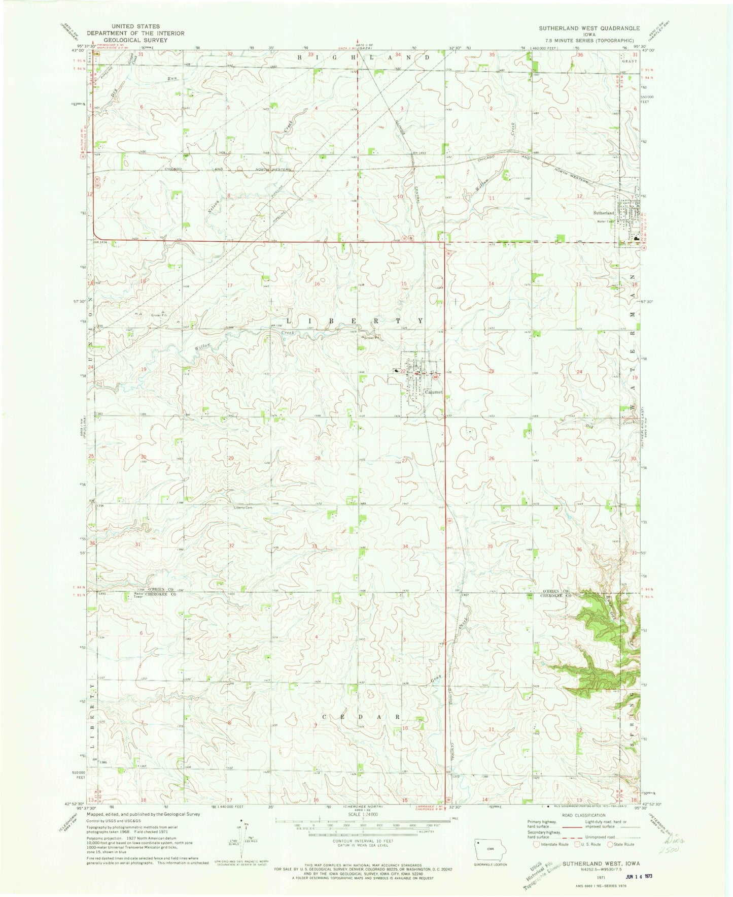
Classic USGS Sutherland West Iowa 7.5'x7.5' Topo Map
Couldn't load pickup availability
Historical USGS topographic quad map of Sutherland West in the state of Iowa. Map scale may vary for some years, but is generally around 1:24,000. Print size is approximately 24" x 27"
This quadrangle is in the following counties: Cherokee, O'Brien.
The map contains contour lines, roads, rivers, towns, and lakes. Printed on high-quality waterproof paper with UV fade-resistant inks, and shipped rolled.
Contains the following named places: Bar D Bar Farms, Bierman Farms, Calumet, Calumet Farms, Calumet Post Office, Calumet Volunteer Fire Department, Church of Christ, City of Calumet, D and J Farm, Engelke Farms, Erie Post Office, Fisch Farms, Flinders Area, Ginger Creek, Henke Farms, Lake Farm of Jurgensen, Liberty Cemetery, M J H Farms, Maass Angus Farm, Magnussen Farm, Mig Farms, Northwest Iowa Research Farm, Romano Post Office, South O'Brien Middle School, Steele Prairie State Preserve, Sutherland Methodist Church, T and S Farms, Township of Liberty, Zion United Church of Christ, ZIP Codes: 51009, 51029


