MyTopo
Classic USGS Sutherland Kentucky 7.5'x7.5' Topo Map
Couldn't load pickup availability
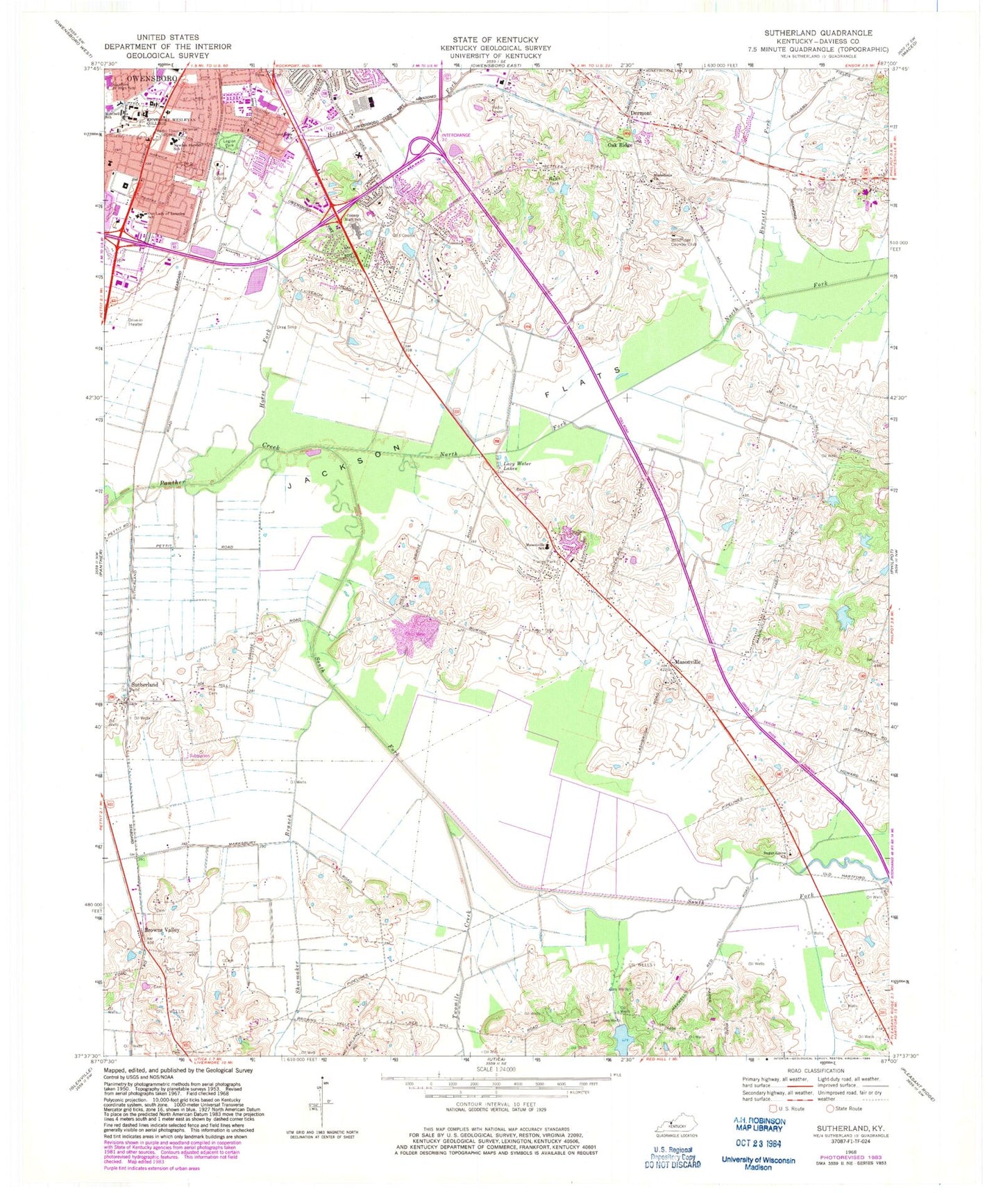
Historical USGS topographic quad map of Sutherland in the state of Kentucky. Map scale may vary for some years, but is generally around 1:24,000. Print size is approximately 24" x 27"
This quadrangle is in the following counties: Daviess.
The map contains contour lines, roads, rivers, towns, and lakes. Printed on high-quality waterproof paper with UV fade-resistant inks, and shipped rolled.
Contains the following named places: Bellevue Church, Brook Hill Estates, Browns Valley, Burnett Fork, Daviess County, Daviess County Fire Department Masonville 1, Daviess County Fire Station East, Daviess County Historical Marker, Dermont, Hickman, Hix Cemetery, Horse Fork, Hunters Ridge, Jackson Flats, Kentucky Wesleyan College, Legion Park, Macedonia Church, Masonville, Masonville Census Designated Place, Masonville School, Mitchell School, Newton Parrish School, North Fork Panther Creek, Oak Ridge, Our Lady of Lourdes School, Owensboro Fire Department Station 5, Philpot Census Designated Place, Resurrection Cemetery, Rose Hill Cemetery, Saint Anthonys School, Shoemaker Branch, South Fork Panther Creek, Southern Junior High School, Southside School, Sugar Grove Baptist Church, Sutherland, Twomile Creek, Windridge Country Club, WKWC-FM (Owensboro), WOMI-AM (Owensboro)


