MyTopo
Classic USGS Sutter Illinois 7.5'x7.5' Topo Map
Couldn't load pickup availability
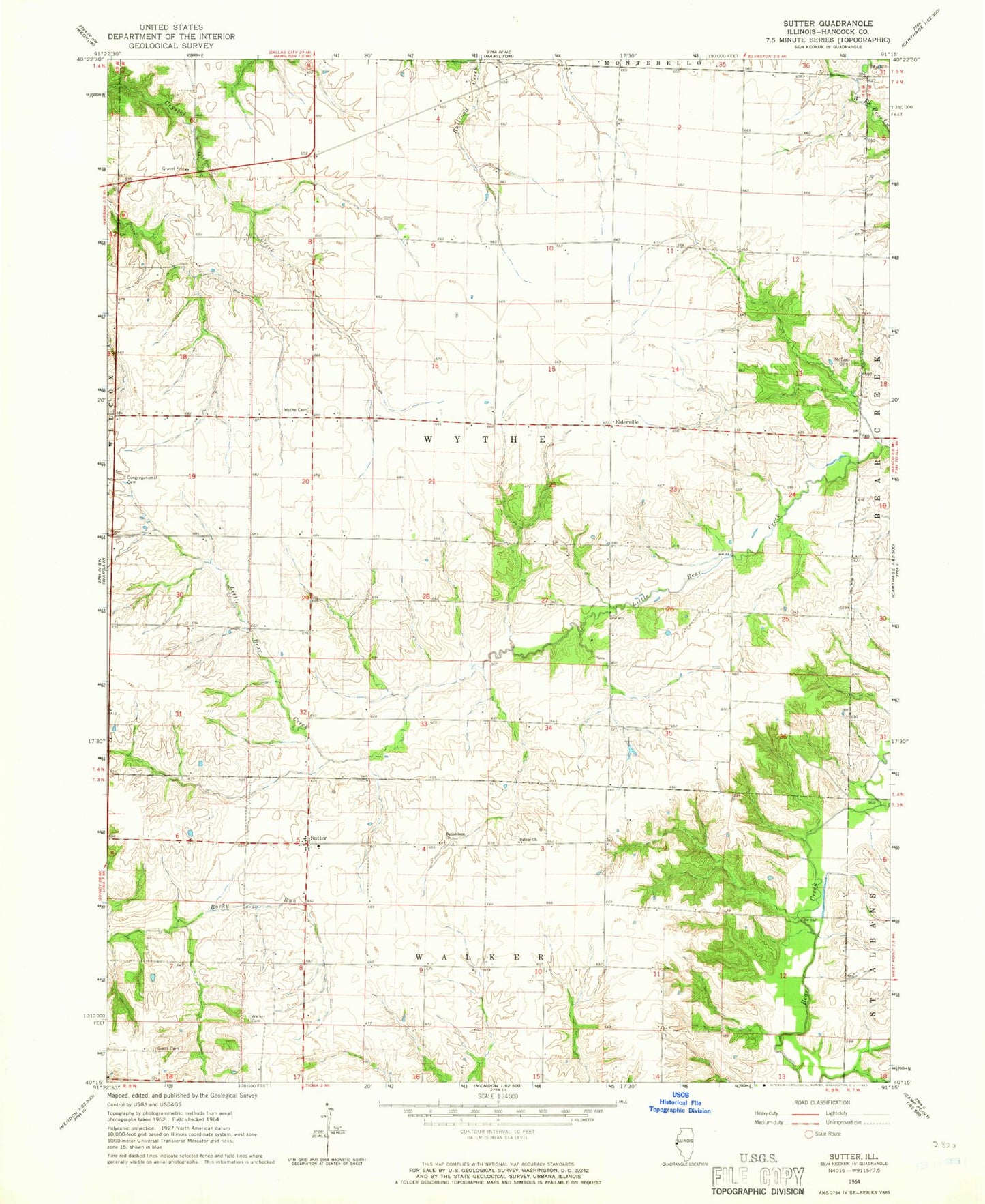
Historical USGS topographic quad map of Sutter in the state of Illinois. Map scale may vary for some years, but is generally around 1:24,000. Print size is approximately 24" x 27"
This quadrangle is in the following counties: Hancock.
The map contains contour lines, roads, rivers, towns, and lakes. Printed on high-quality waterproof paper with UV fade-resistant inks, and shipped rolled.
Contains the following named places: Bethlehem Church, Bethlehem United Church of Christ Cemetery, Elderville, Elm Grove School, Excelsior School, Froggy School, Grant Cemetery, Harmony School, McGee Cemetery, Mount Vernon School, Oak Grove School, Orange School, Prairie School, Salem Church, Sutter, Sutter Salem Bible Church Cemetery, Sylvandale School, Township of Wythe, Walker Cemetery, Walnut Grove School, WCAZ-AM (Carthage), Wythe Congregational Church Cemetery, Wythe Presbyterian Cemetery, Wythe School