MyTopo
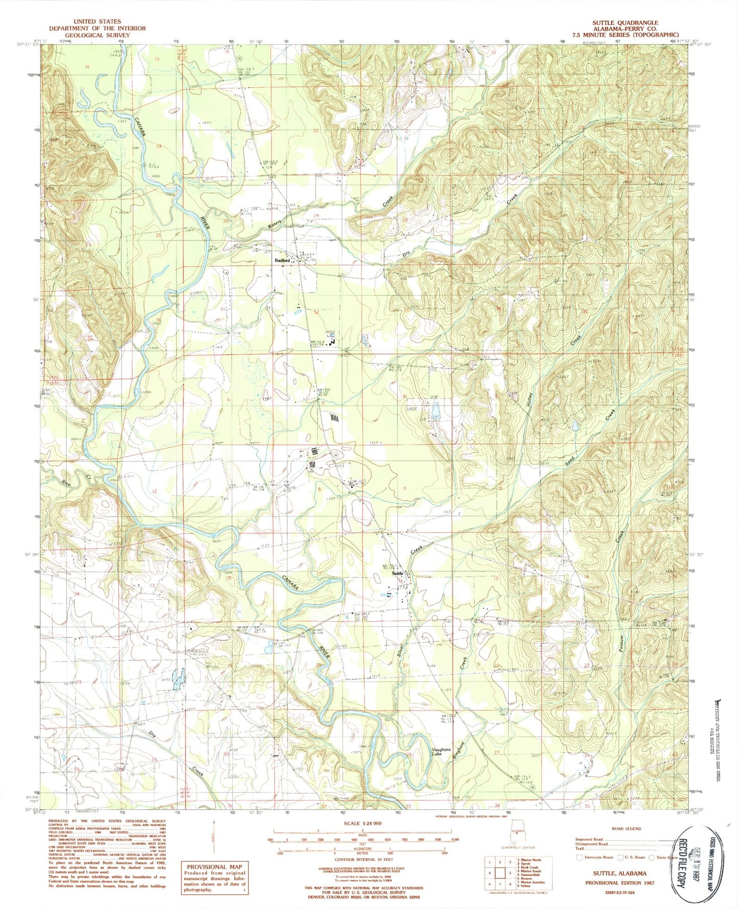
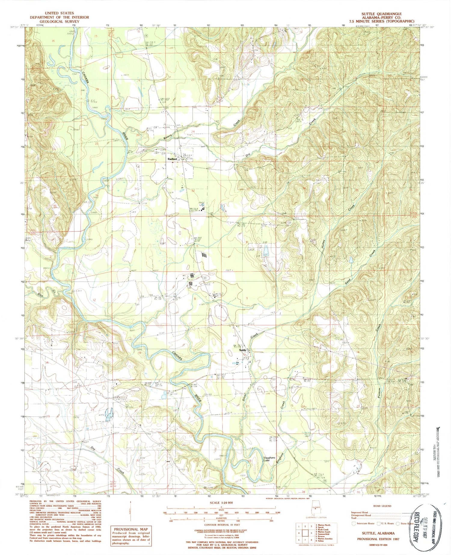
Classic USGS Suttle Alabama 7.5'x7.5' Topo Map
Couldn't load pickup availability
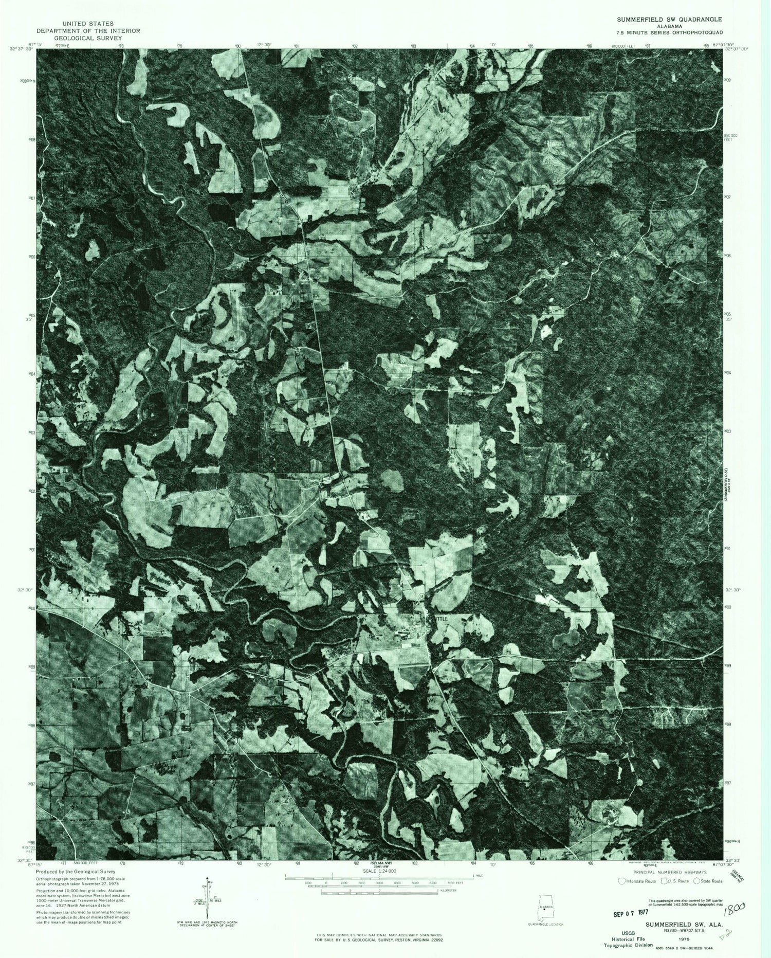
Historical USGS topographic quad map of Suttle in the state of Alabama. Map scale may vary for some years, but is generally around 1:24,000. Print size is approximately 24" x 27"
This quadrangle is in the following counties: Perry.
The map contains contour lines, roads, rivers, towns, and lakes. Printed on high-quality waterproof paper with UV fade-resistant inks, and shipped rolled.
Contains the following named places: Bethany Cemetery, Bethany Church, Bethany School, Bingham Creek, Center School, Dry Creek, East Perry High School, Edwards Cemetery, Holley Creek, Lakeland Farms Dam Number Nineteen, Lakeland Farms Pond Number Nineteen, Lillie Grove Church, Lilly Grove School, Mount Olive Church, New Hope Church, Pine Flat Church, Radford, Rice Creek, Sand Creek, Santa Felix Church, Silver Creek, Suttle, Suttle Cemetery, Suttle Post Office, Suttle School, Suttle Volunteer Fire Department, Vaughans Lake, Waters Cemetery, Waters Creek, Waters Store, Wells Creek