MyTopo
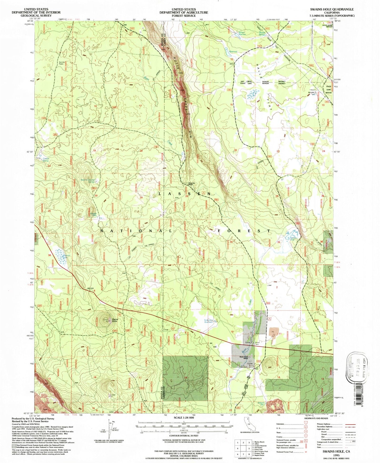
Classic USGS Swains Hole California 7.5'x7.5' Topo Map
Couldn't load pickup availability
Historical USGS topographic quad map of Swains Hole in the state of California. Map scale may vary for some years, but is generally around 1:24,000. Print size is approximately 24" x 27"
This quadrangle is in the following counties: Lassen, Shasta.
The map contains contour lines, roads, rivers, towns, and lakes. Printed on high-quality waterproof paper with UV fade-resistant inks, and shipped rolled.
Contains the following named places: Bidwell Spring, Blacks Mountain Experimental Station, Bufflehead Reservoir, Butler Spring, Butte Creek, Butte Creek Cabin, Butte Creek Ranch, Cache Cabin, Coyote Spring, Halls Flat, Hole in Ground Spring, Juniper Hole, Mountain Home, Signal Butte, Suicide Cabin, Summit Lake, Swains Hole, Swains Hole Dam, Tamarack Reservoir