MyTopo
Classic USGS Swallow Fork Peak New Mexico 7.5'x7.5' Topo Map
Couldn't load pickup availability
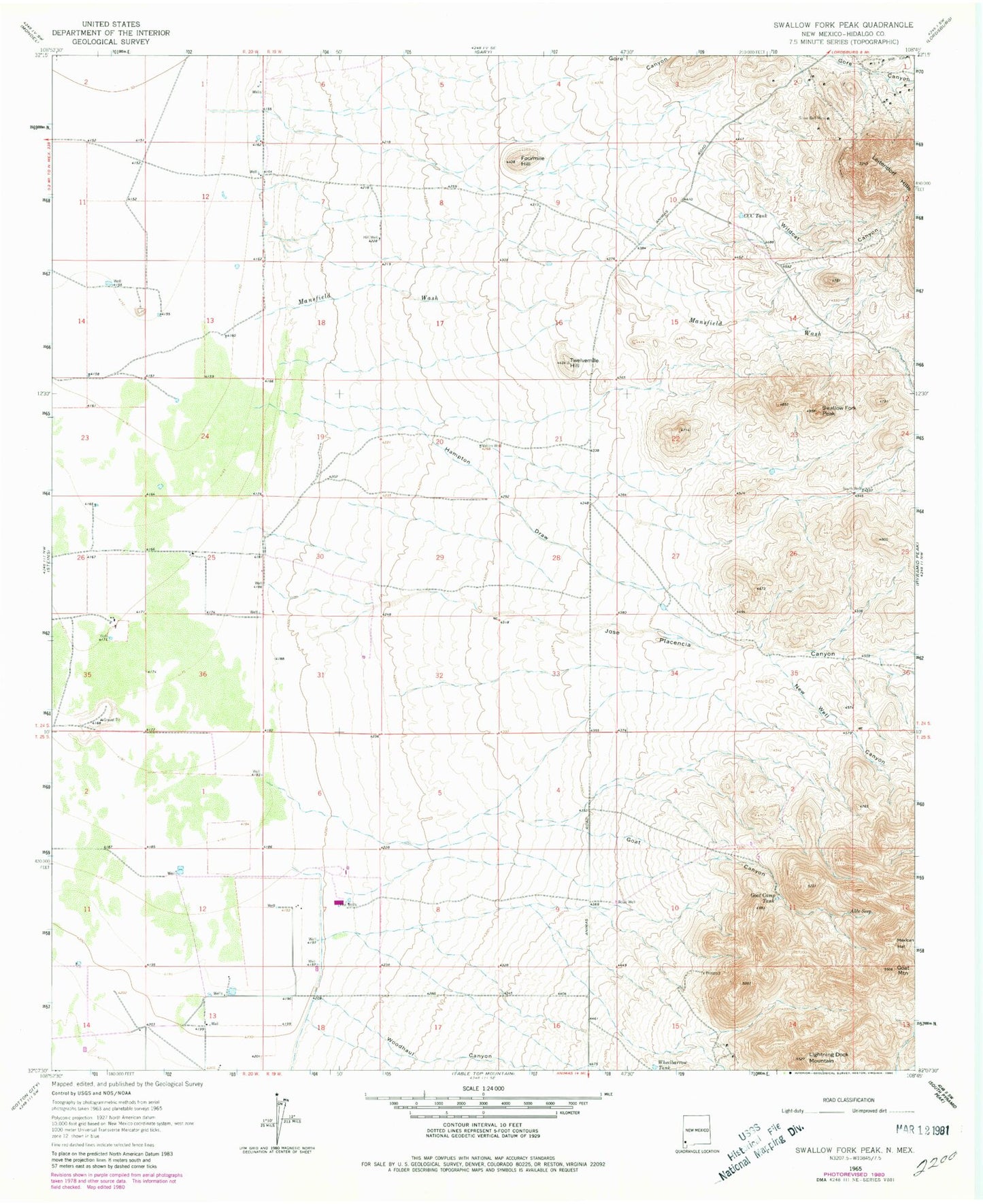
Historical USGS topographic quad map of Swallow Fork Peak in the state of New Mexico. Map scale may vary for some years, but is generally around 1:24,000. Print size is approximately 24" x 27"
This quadrangle is in the following counties: Hidalgo.
The map contains contour lines, roads, rivers, towns, and lakes. Printed on high-quality waterproof paper with UV fade-resistant inks, and shipped rolled.
Contains the following named places: 10031 Water Well, 10032 Water Well, 10056 Water Well, Able Seep, Bug House Mine, C C C Tank, Cedar Lode, Fourmile Hill, Goat Camp Tank, Goat Canyon, Goat Mountain, Hampton Draw, Hill Well, Jose Placencia Canyon, Leitendorf, Light Load Mine, Lighting Dock Area KGRA, Lightning Dock Mountain, Lucky Strike Lode, Mansfield Wash, Mexican Hat, Nation Well, New Well, New Well Canyon, Road Well, Schlesinger Ranch, Seven Twelve Ranch, Silver Bell Mine, South Well, Swallow Fork Peak, Twelvemile Hill, Well A Water Well, Wheelbarrow Tank, Wildcat Canyon, Woodhaul Canyon


