MyTopo
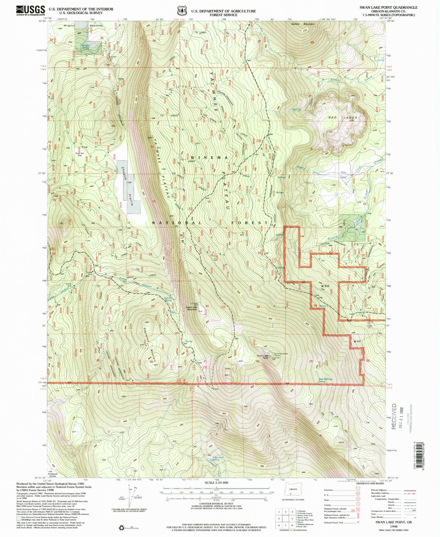
Classic USGS Swan Lake Point Oregon 7.5'x7.5' Topo Map
Couldn't load pickup availability
Historical USGS topographic quad map of Swan Lake Point in the state of Oregon. Map scale may vary for some years, but is generally around 1:24,000. Print size is approximately 24" x 27"
This quadrangle is in the following counties: Klamath.
The map contains contour lines, roads, rivers, towns, and lakes. Printed on high-quality waterproof paper with UV fade-resistant inks, and shipped rolled.
Contains the following named places: Algoma Spring, Bad Lands, Bear Wallows Spring, Choptie Prairie, Edgewood Mountain, Edgewood Spring, Four-bit Flat, Lavenik Cinder Pit, Middle Fork Trout Creek, Swan Lake Mountain, Swan Lake Point, Swan Lake Rim, Trout Creek Ranch, Wrights Spring, Ya Whee Plateau, Ya Whee Plateau Rim