MyTopo
Classic USGS Swan Point Maryland 7.5'x7.5' Topo Map
Couldn't load pickup availability
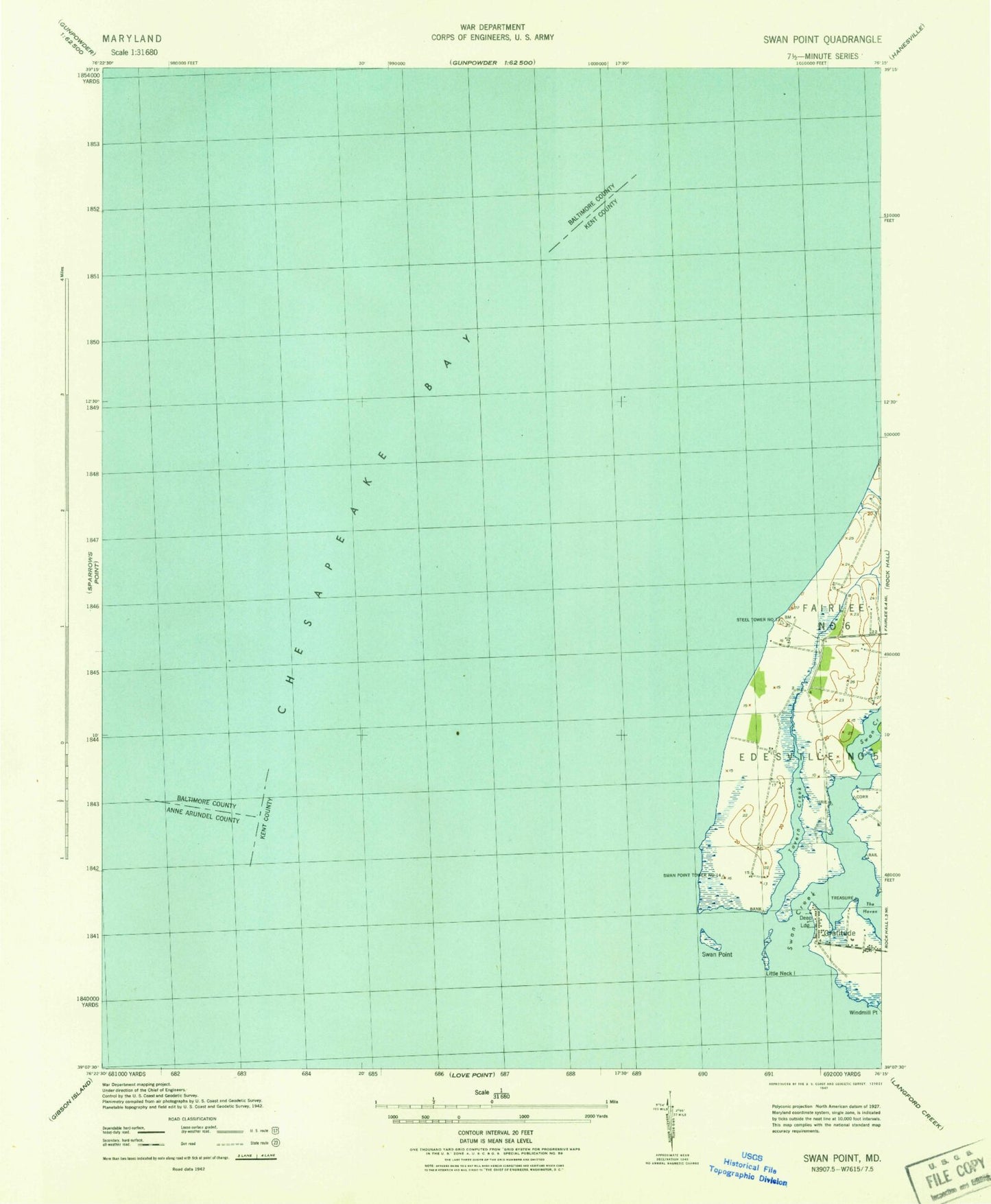
Historical USGS topographic quad map of Swan Point in the state of Maryland. Map scale may vary for some years, but is generally around 1:24,000. Print size is approximately 24" x 27"
This quadrangle is in the following counties: Anne Arundel, Baltimore, Kent.
The map contains contour lines, roads, rivers, towns, and lakes. Printed on high-quality waterproof paper with UV fade-resistant inks, and shipped rolled.
Contains the following named places: Brewerton Channel Eastern Extension, Deep Landing, Gratitude, Gratitude Post Office, Gratitude Yacht Harbor, Harts Point, Little Neck Farms, Little Neck Island, Ninefoot Knoll, Osprey Point Marina, Swan Creek, Swan Creek Marina, Swan Island, Swan Point, Swan Point Bar, Tavern Creek, Windmill Point