MyTopo
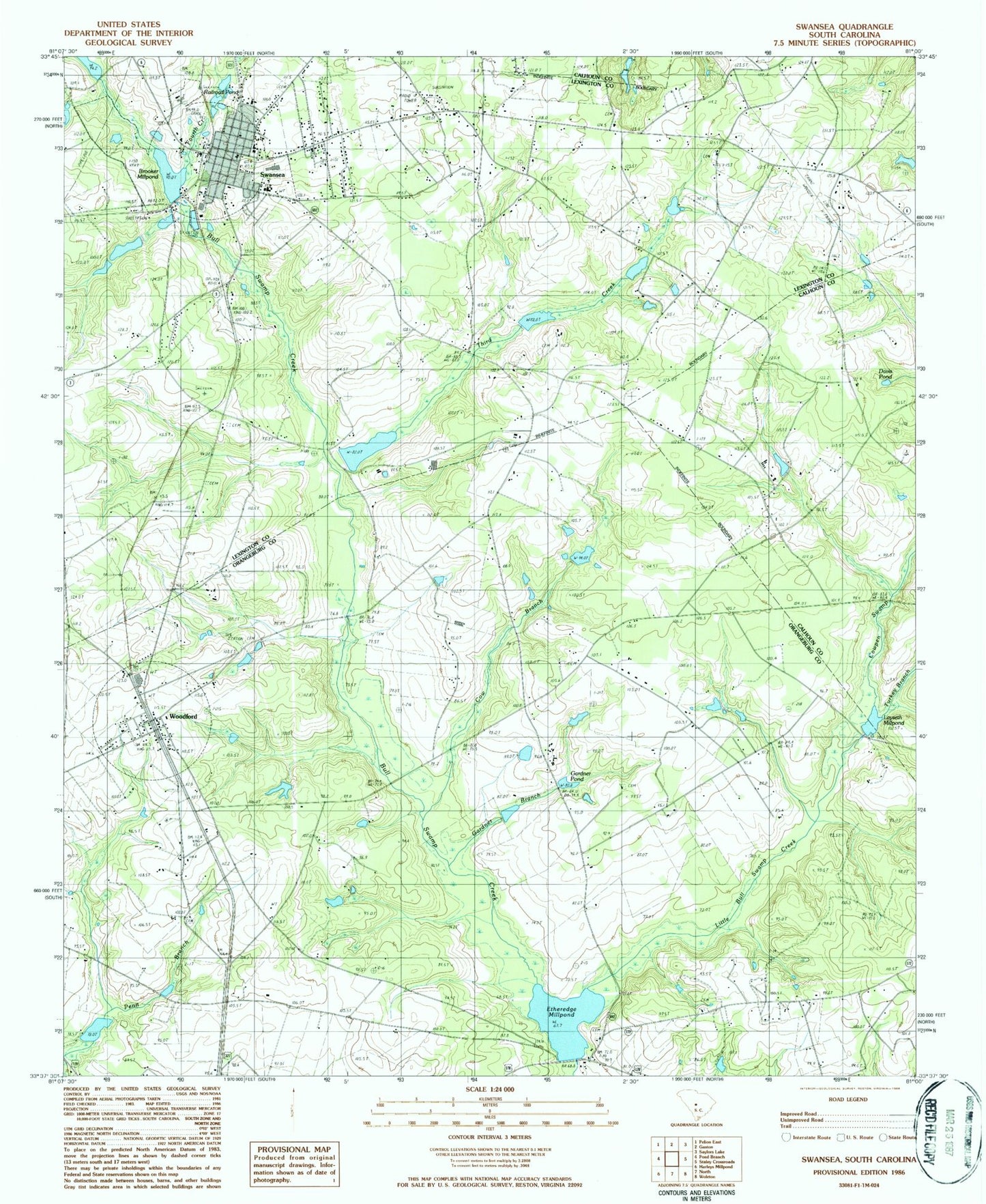
Classic USGS Swansea South Carolina 7.5'x7.5' Topo Map
Couldn't load pickup availability
Historical USGS topographic quad map of Swansea in the state of South Carolina. Map scale may vary for some years, but is generally around 1:24,000. Print size is approximately 24" x 27"
This quadrangle is in the following counties: Calhoun, Lexington, Orangeburg.
The map contains contour lines, roads, rivers, towns, and lakes. Printed on high-quality waterproof paper with UV fade-resistant inks, and shipped rolled.
Contains the following named places: Brooker Millpond, Bull Swamp Baptist Church, Calvary Methodist Church, Calvary School, Canaan United Methodist Church Cemetery, Cannon Church, Cow Branch, Cowpen Swamp, Dixie School, Ebenezer School, Etheredge Millpond, Etheridge Mill, Fourth Creek, Fridays Pond, Gardner Branch, Gardner Pond, Gethesame School, Gethsemane Church, Gissendanner Bridge, Granger Pond Dam D-3680, Gunter Pond, Hoffman Pond Dam D-3681, Ingletts Pond Dam D-3686, Jumper Station Fire Department, Knotts Pond, Layseth Millpond, Layseth Millpond Dam D-2923, Lexington County Fire Service Station 16, Little Bull Swamp Creek, Midway Millpond, Monroe Pinkney Middle School, North Division, North Fire Department Station 2, Penn Branch Baptist Church Cemetery, Penn Branch Church, Persimmon Branch, Railroad Pond, Redmond Pond, Redmons Mill, Sardis Church, Shannon Pond, Shannon Pond Dam D-2673, Sharpes Pond, Shulls Pond Dam D-3685, South Carolina Noname 32005 D-1710 Dam, South Carolina Noname 32020 D-0982 Dam, South Carolina Noname 32093 D-1008 Dam, South Carolina Noname 32094 D-1009 Dam, South Carolina Noname 38004 D-3684 Dam, South Carolina Noname 38067 D-3683 Dam, Swansea, Swansea Elementary School, Swansea High School, Swansea Junior High School, Swansea Post Office, Swansea School, Third Creek, Town of Swansea, Town of Woodford, Trinity Church, Trinity School, Trinity United Methodist Church Cemetery, Turkey Branch, Woodford, ZIP Codes: 29112, 29160


