MyTopo
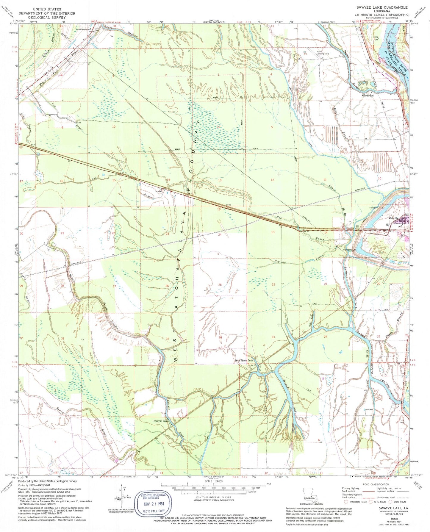
Classic USGS Swayze Lake Louisiana 7.5'x7.5' Topo Map
Couldn't load pickup availability
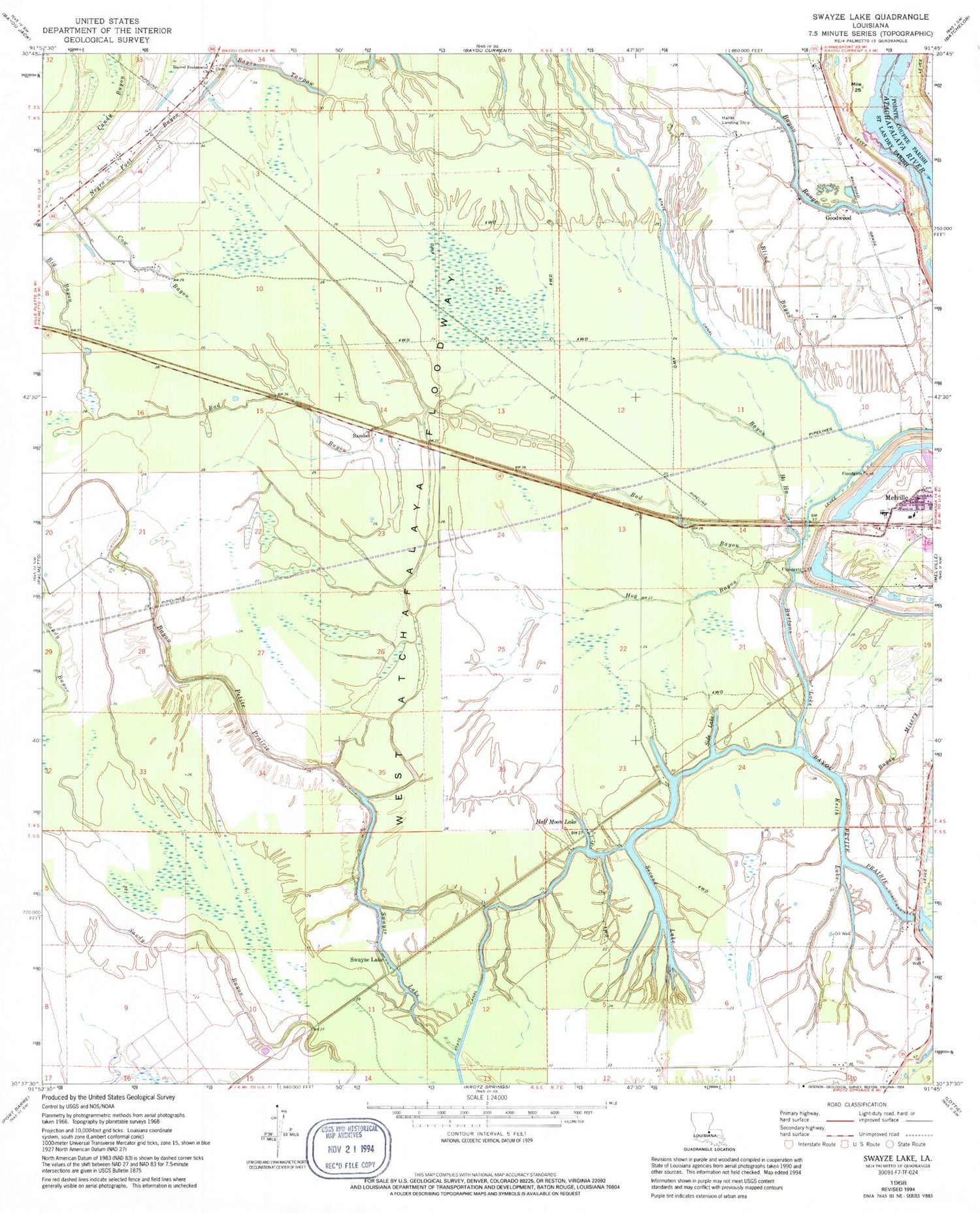
Historical USGS topographic quad map of Swayze Lake in the state of Louisiana. Map scale may vary for some years, but is generally around 1:24,000. Print size is approximately 24" x 27"
This quadrangle is in the following counties: Pointe Coupee, St. Landry.
The map contains contour lines, roads, rivers, towns, and lakes. Printed on high-quality waterproof paper with UV fade-resistant inks, and shipped rolled.
Contains the following named places: Bad Bayou, Bayou Ha Ha, Bayou Misery, Bayou Petite Prairie, Bayou Rouge, Big Bayou, Blind Bayou, Burtons Lake, Candy Bayou, Cow Bayou, Evening Star Baptist Church, Goodwood, Half Moon Lake, Hallf Moon, Hog Bayou, Keith Lake, Latenache Oil Field, Loggy Bayou, Melville Gas Field, Negro Foot Bayou, Opelousas Club House, Purvis, Sambo, Sambo Gas Field, Second Lake, Side Lake, Swayze Lake, United Pentecostal Church, Williamson, ZIP Code: 71358


