MyTopo
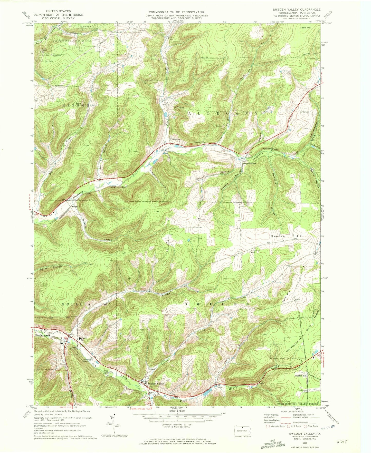
Classic USGS Sweden Valley Pennsylvania 7.5'x7.5' Topo Map
Couldn't load pickup availability
Historical USGS topographic quad map of Sweden Valley in the state of Pennsylvania. Typical map scale is 1:24,000, but may vary for certain years, if available. Print size: 24" x 27"
This quadrangle is in the following counties: Potter.
The map contains contour lines, roads, rivers, towns, and lakes. Printed on high-quality waterproof paper with UV fade-resistant inks, and shipped rolled.
Contains the following named places: Colesburg, Dry Run, Dwight Creek, Ford Hill Cemetery, Gross Hollow, Haskell Hollow, Kohler Hollow, Lent Hollow, Lyman Creek, Lyon Hill, North Hollow, Peet Brook, Pigeon Hollow, Prosser Hollow, Seven Bridges, South Hollow, Sweden Hill, Sweden Hill Cemetery, Sweden Valley, Toombs Hollow, Trout Run, Wambold Hollow, Woodcock Creek, Judd School, North Hollow School, Ice Mine, Lymansville, Harvey School (historical), Ho-Dah-We Boy Scout Camp (historical), Judd School, Ice Mine, Denton Hill, Frinks, Township of Allegany, Township of Sweden, Sweden Valley Census Designated Place, Charles Cole Memorial Hospital


