MyTopo
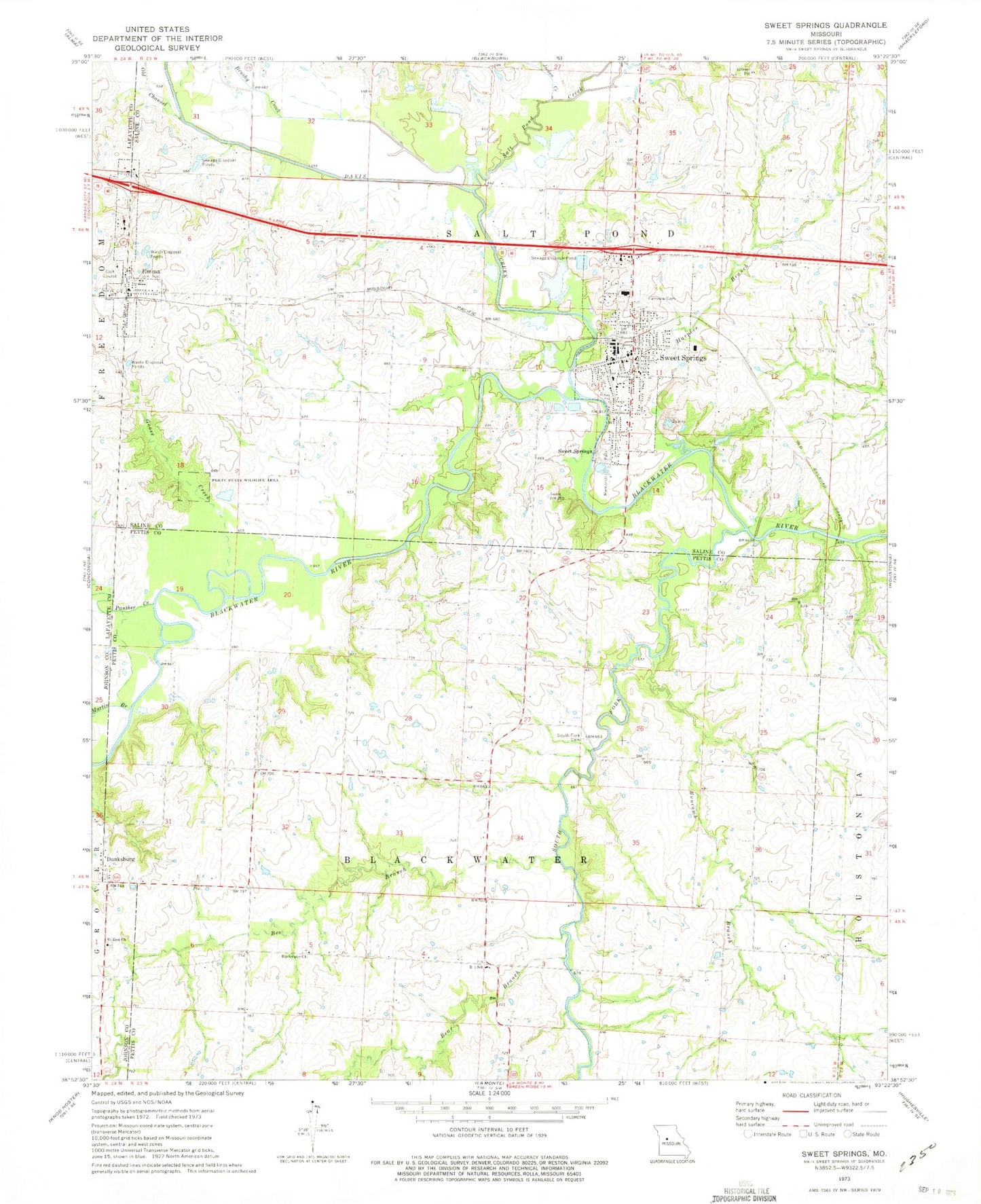
Classic USGS Sweet Springs Missouri 7.5'x7.5' Topo Map
Couldn't load pickup availability
Historical USGS topographic quad map of Sweet Springs in the state of Missouri. Map scale may vary for some years, but is generally around 1:24,000. Print size is approximately 24" x 27"
This quadrangle is in the following counties: Johnson, Lafayette, Pettis, Saline.
The map contains contour lines, roads, rivers, towns, and lakes. Printed on high-quality waterproof paper with UV fade-resistant inks, and shipped rolled.
Contains the following named places: Armentrout School, Bear Branch, Bee Branch, Blackwater Church, Brookside School, Brushy Creek, Buncomb Branch, City of Emma, City of Sweet Springs, City of Sweet Springs Dam A, City of Sweet Springs Dam B, City Reservoir A, City Reservoir B, Concordia Fire Protection District Station 2, Davis Creek, Dunksburg, Elder Ridge School, Emma, Emma Post Office, Fairview Cemetery, Fire Department Sweet Springs, Goose Creek, Harpers Branch, Holy Cross Cemetery, Holy Cross Lutheran Church, Holy Cross Lutheran School, I - 70 Community Hospital, Jordan Creek, Martin Branch, Mount Zion Church, Oak Grove School, Old Channel Davis Creek, Panther Creek, Perry State Wildlife Area, Ray School, R-L School, Salt Pond Creek, South Fork Blackwater River, South Fork Cemetery, Sweet Springs, Sweet Springs Elementary School, Sweet Springs High School, Sweet Springs Police Department, Sweet Springs Post Office, Township of Salt Pond, Weber School, ZIP Codes: 65327, 65351


