
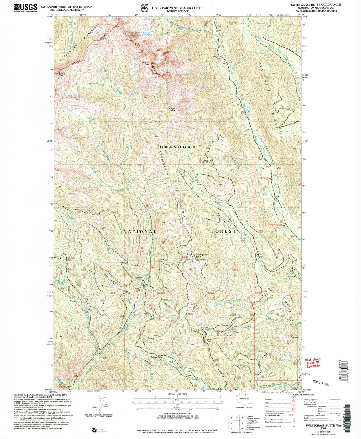
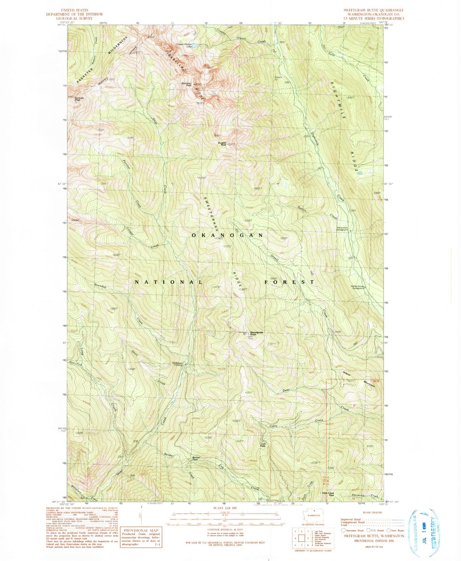
MyTopo
Classic USGS Sweetgrass Butte Washington 7.5'x7.5' Topo Map
Couldn't load pickup availability
Historical USGS topographic quad map of Sweetgrass Butte in the state of Washington. Map scale may vary for some years, but is generally around 1:24,000. Print size is approximately 24" x 27"
This quadrangle is in the following counties: Okanogan.
The map contains contour lines, roads, rivers, towns, and lakes. Printed on high-quality waterproof paper with UV fade-resistant inks, and shipped rolled.
Contains the following named places: Banker Creek, Banker Pass, Burgett Peak, Button Creek, Cabin Creek, Calf Creek, Copper Glance Creek, Copper Glance Lake, Cougar Creek, Cub Pass, Eightmile Ridge, Falls Creek Trail, Fifth Creek Pass, Honeymoon Campground, Island Mountain, Long Creek, Panther Creek, Ray Creek, Roundup Creek, Ruffed Grouse Campground, Sherman Peak, Short Creek, Sunrise Peak, Sweetgrass Butte, Sweetgrass Ridge, Vanderpool Crossing, West Fork Long Creek


