MyTopo
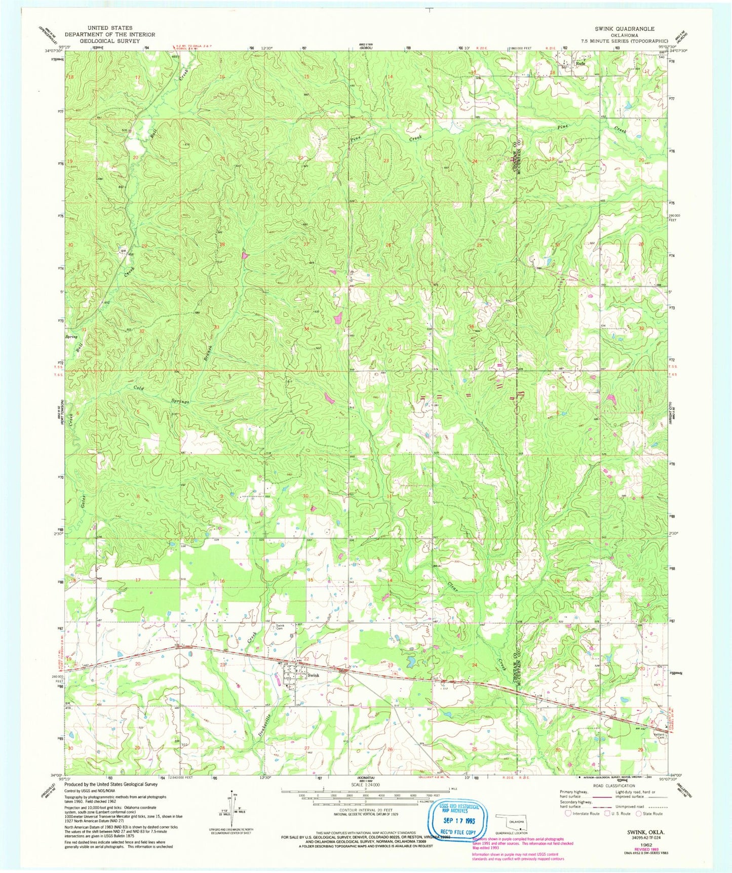
Classic USGS Swink Oklahoma 7.5'x7.5' Topo Map
Couldn't load pickup availability
Historical USGS topographic quad map of Swink in the state of Oklahoma. Map scale may vary for some years, but is generally around 1:24,000. Print size is approximately 24" x 27"
This quadrangle is in the following counties: Choctaw, McCurtain.
The map contains contour lines, roads, rivers, towns, and lakes. Printed on high-quality waterproof paper with UV fade-resistant inks, and shipped rolled.
Contains the following named places: Cold Springs Branch, Elliott School, Rufe, Rufe Post Office, Rufe Volunteer Fire Department, Swink, Swink Cemetery, Swink Census Designated Place, Swink Elementary School, Swink Post Office, Swink Volunteer Fire Department, Town of Swink, Tuttle Branch, Valliant Cemetery, ZIP Codes: 74735, 74761