MyTopo
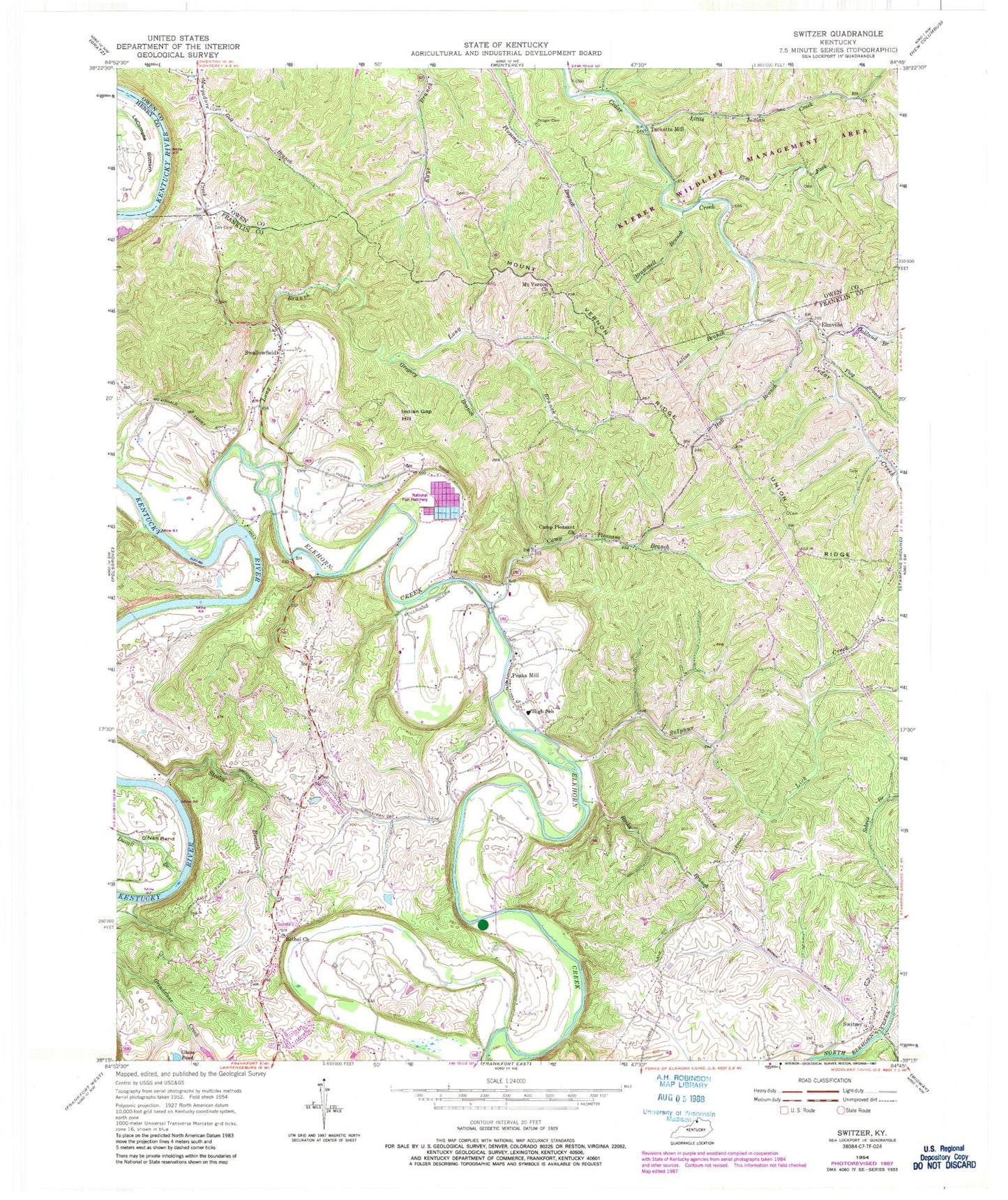
Classic USGS Switzer Kentucky 7.5'x7.5' Topo Map
Couldn't load pickup availability
Historical USGS topographic quad map of Switzer in the state of Kentucky. Typical map scale is 1:24,000, but may vary for certain years, if available. Print size: 24" x 27"
This quadrangle is in the following counties: Franklin, Henry, Owen.
The map contains contour lines, roads, rivers, towns, and lakes. Printed on high-quality waterproof paper with UV fade-resistant inks, and shipped rolled.
Contains the following named places: Bethel Church, Brammell Branch, Camp Pleasant Church, Duvall Branch, Elkhorn Creek, Elm Fork, Elmville, Flag Branch, Gill Branch, Glass Pond, Gregory Branch, Grugin Cemetery, Hall Branch, Indian Gap Hill, Jones Lane Branch, Julius Branch, Little Indian Creek, Long Branch, Minors Creek, Mount Vernon Church, O'Nan Bend, Oakland Branch, Peaks Mill, Pleasant Branch, Rocky Branch, Steeles Branch, Sulphur Lick Creek, Swallowfield, Union Ridge, Vernon Ridge, Tacketts Mill, Peaks Mill Division, Switzer Covered Bridge, Switzer, Switzer Post Office (historical), Cedar Creek Mill (historical), Claxton Branch Sulphur Lick Creek, Elkhorn Post Office (historical), Peaks Mill (historical), Stillwater Campground (historical), Horney Fork, Morgadore Post Office (historical), Tacketts Mill Post Office (historical), Truesville (historical), Bradleyville (historical), Bethel Christian Church (historical), Big John Branch, Bloomington Presbyterian Church (historical), Buffins Branch, Camp Pleasant (historical), Elmville Post Office (historical), Forsee Post Office (historical), Frankfort Fish Hatchery, Gregory (historical), Innes Fort (historical), Kissinger Railroad Station (historical), Knights (historical), Knights Bridge, Lucas Lane (historical), Manford Ferry (historical), Mount Vernon School (historical), Mouth Of Elkhorn Post Office (historical), Oakland School (historical), Peaks Mill Church Cemetery, Peaks Mill Post Office (historical), Quires Camp (historical), School Number Seventeen (historical), School Number Thirty-Eight (historical), School Number Thirty-Six (historical), School Number Thirty-Three (historical), School Number Twenty-Four (historical), Settles Branch, Sheets School Number Fifteen (historical), Strohmeier Campground (historical), Strohmeier Church (historical), Swallowfield Post Office (historical), Throne Grove School (historical), Union Baptist Church (historical), Hodge (historical), Kissinger Lead Mines (historical), Franklin County Fire Department Station 7


