MyTopo
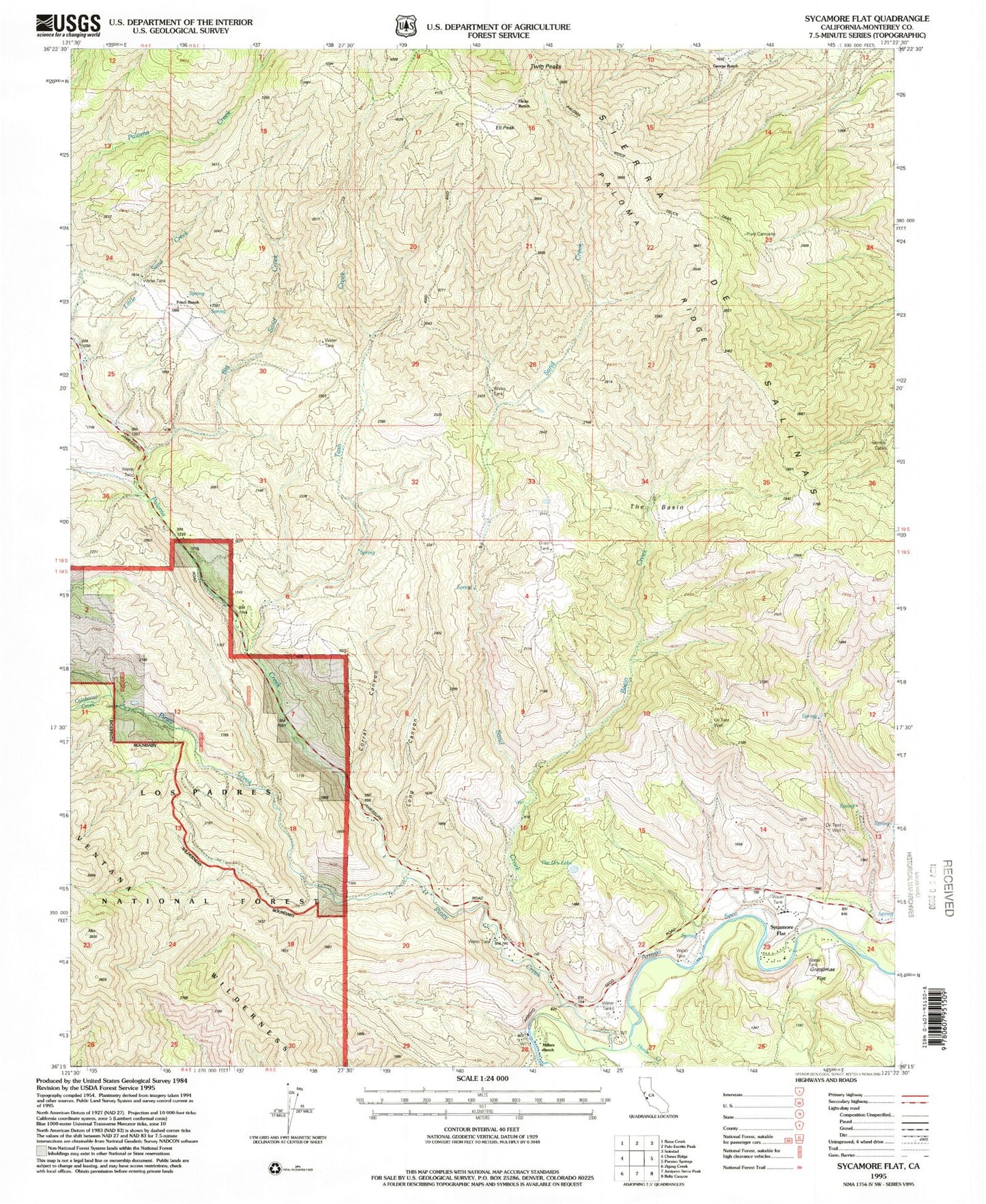
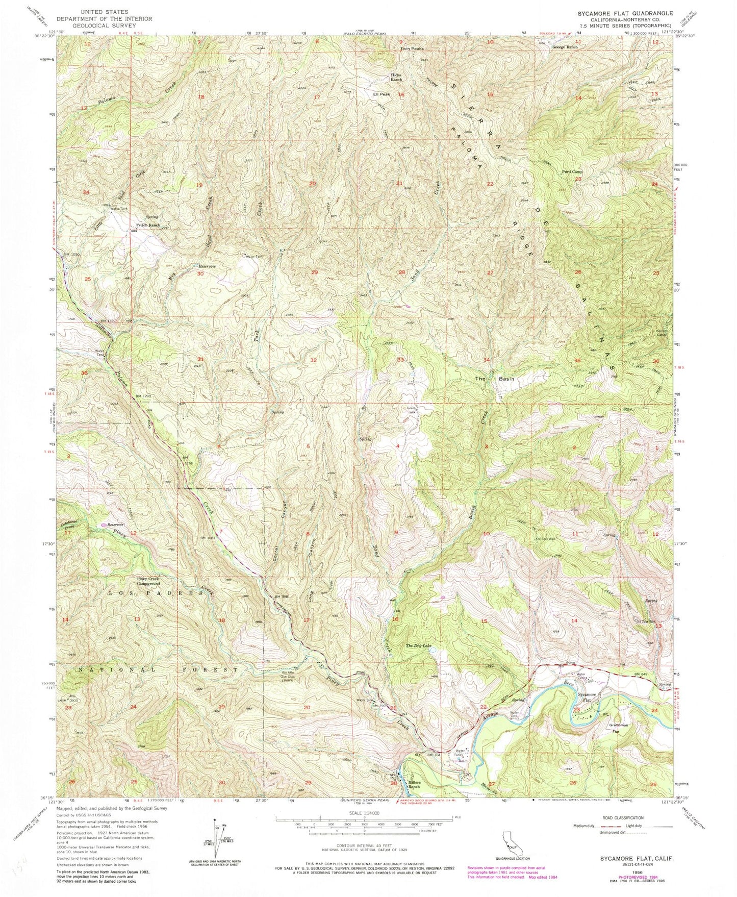
Classic USGS Sycamore Flat California 7.5'x7.5' Topo Map
Couldn't load pickup availability
Historical USGS topographic quad map of Sycamore Flat in the state of California. Map scale may vary for some years, but is generally around 1:24,000. Print size is approximately 24" x 27"
This quadrangle is in the following counties: Monterey.
The map contains contour lines, roads, rivers, towns, and lakes. Printed on high-quality waterproof paper with UV fade-resistant inks, and shipped rolled.
Contains the following named places: Basin Creek, Big Sand Creek, Calaboose Creek, Corral Canyon, Ell Peak, Fritch Ranch, George Ranch, Grandmas Flat, Hermits Cabin, Hicks Ranch, Horse Canyon, Horse Creek, Little Sand Creek, Long Canyon, Lower Piney Creek Campground, Millers Ranch, Paloma Creek, Paloma Creek School, Paloma Ridge, Piney Creek, Piney Creek Campground, Purd Camp, Rio Alto Gun Club, Sand Creek, Soledad Division, Sycamore Flat, Tash Creek, The Basin, The Dry Lake, Twin Peaks