MyTopo
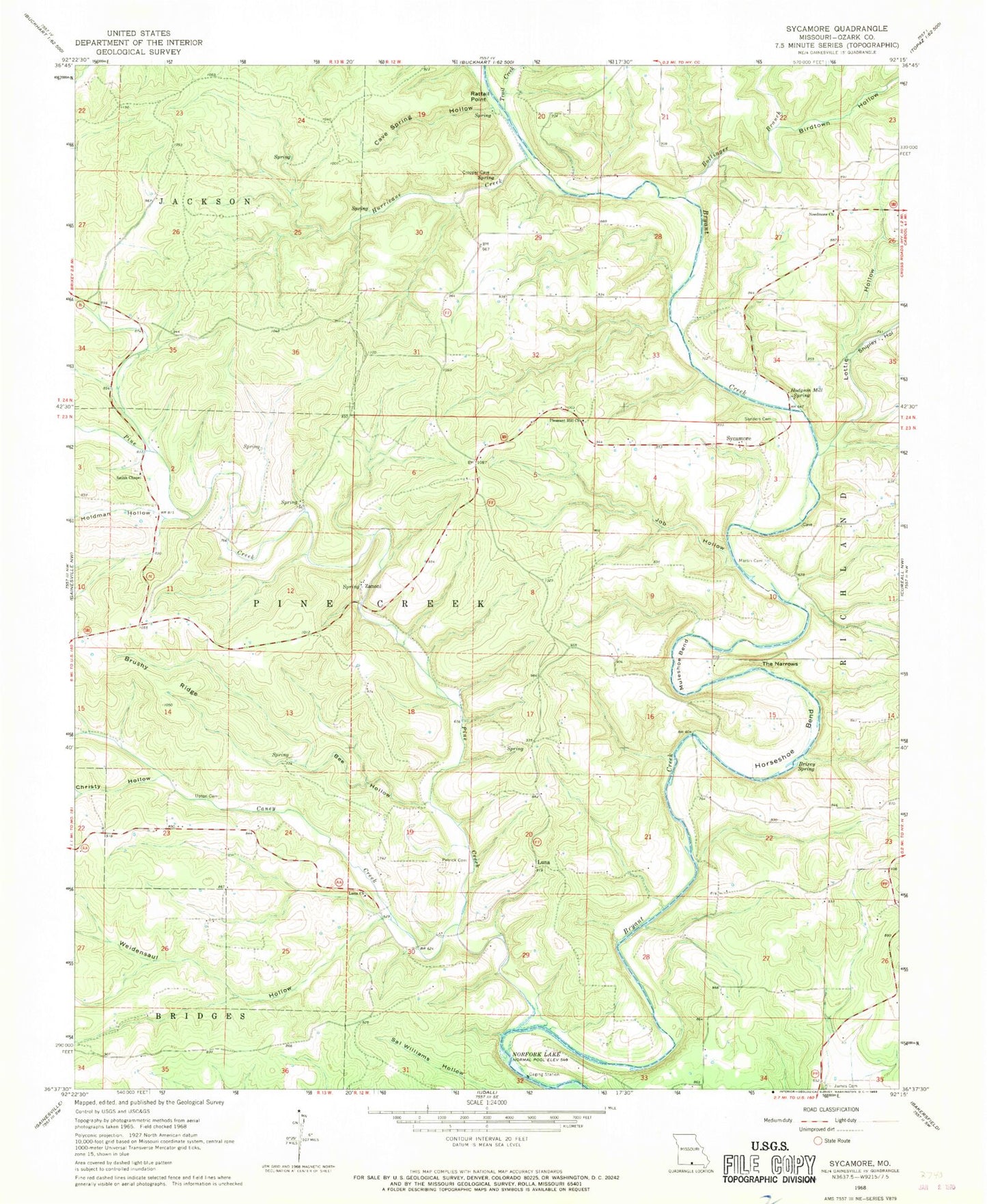
Classic USGS Sycamore Missouri 7.5'x7.5' Topo Map
Couldn't load pickup availability
Historical USGS topographic quad map of Sycamore in the state of Missouri. Map scale may vary for some years, but is generally around 1:24,000. Print size is approximately 24" x 27"
This quadrangle is in the following counties: Ozark.
The map contains contour lines, roads, rivers, towns, and lakes. Printed on high-quality waterproof paper with UV fade-resistant inks, and shipped rolled.
Contains the following named places: Bee Hollow, Birdtown Hollow, Bollinger Branch, Brixey Spring, Brushy Ridge, Bushong School, Caney Creek, Caney School, Cave Spring Hollow, Christy Hollow, High View School, Hodgson Mill Spring, Holdman Hollow, Horseshoe Bend, Hurricane Creek, Job Hollow, Lottie Hollow, Luna, Luna Church, Luna School, Martin Cemetery, Muleshoe Bend, Needmore Church, Negro Ford, New Hope School, Osburn Ford, Patrick Cemetery, Pine Creek, Pleasant Hill School, Rattail Point, Russel Ford, Sanders Cemetery, Sanfield Ford, School Number 88, Shipley Hollow, Smith Chapel, Sycamore, The Narrows, Township of Pine Creek, Trail Creek, Upton Cemetery, Weidensaul Hollow, Zanoni, ZIP Codes: 65618, 65784


