MyTopo
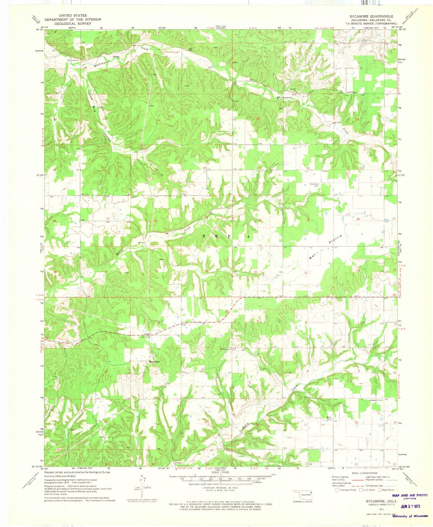
Classic USGS Sycamore Oklahoma 7.5'x7.5' Topo Map
Couldn't load pickup availability
Historical USGS topographic quad map of Sycamore in the state of Oklahoma. Map scale may vary for some years, but is generally around 1:24,000. Print size is approximately 24" x 27"
This quadrangle is in the following counties: Delaware.
The map contains contour lines, roads, rivers, towns, and lakes. Printed on high-quality waterproof paper with UV fade-resistant inks, and shipped rolled.
Contains the following named places: Deer Lick Census Designated Place, Immanuel Church, Indianola, Indianola Cemetery, Indianola Census Designated Place, Mount Herman Church, Mount Hermon Cemetery, Oak Chapel, Oak Hill-Piney, Oak Hill-Piney Census Designated Place, Poynor Church, Sycamore, Sycamore Census Designated Place, Sycamore Springs, Township 4, Ward Cemetery, Wet Prairie, Whitewater Church, Whitewater Creek Site 2 Dam, Whitewater Creek Site 2 Reservoir, Whitewater Creek Site 3 Dam, Whitewater Creek Site 3 Reservoir, Yellow Bird Hollow