
MyTopo
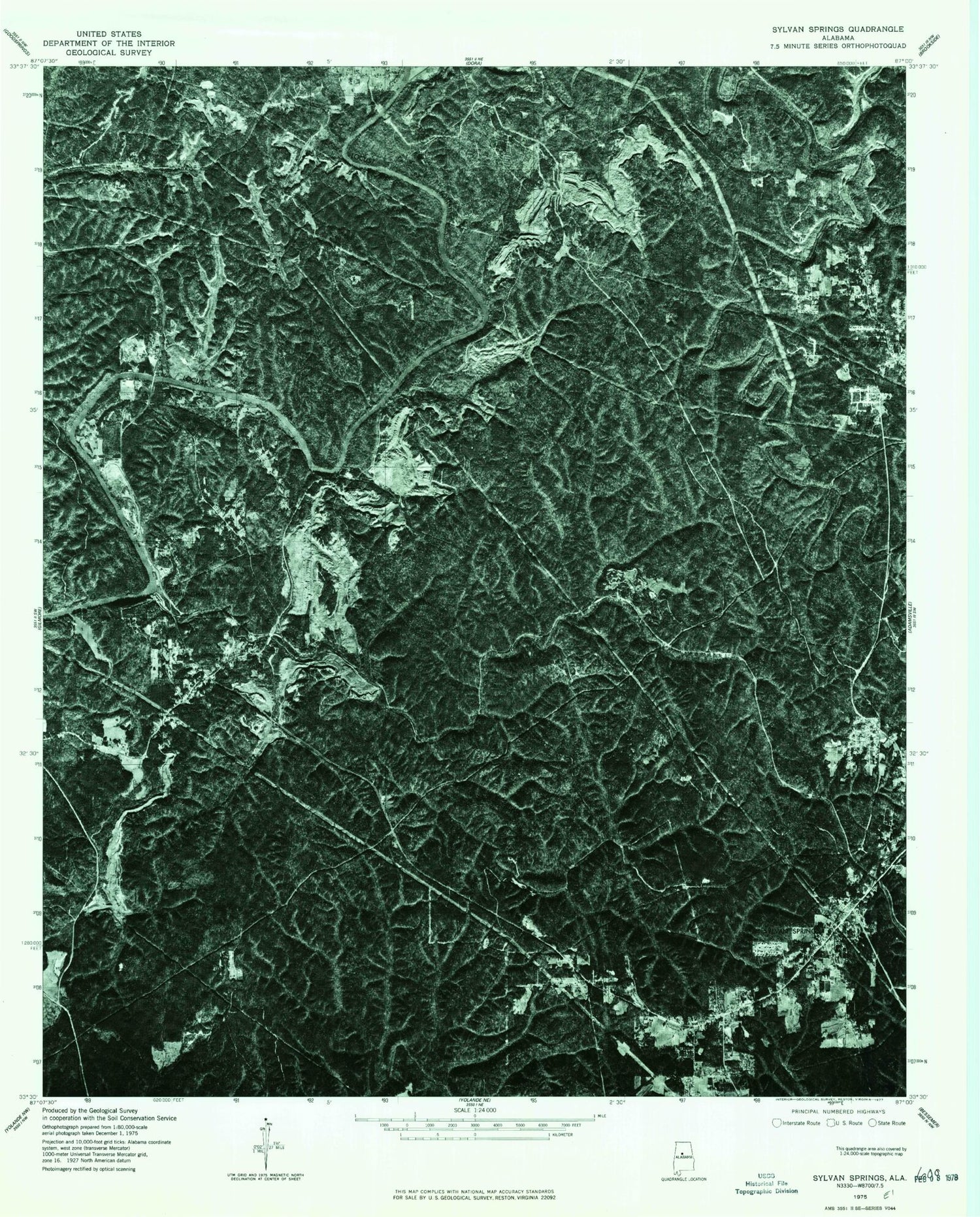
Classic USGS Sylvan Springs Alabama 7.5'x7.5' Topo Map
Couldn't load pickup availability
Historical USGS topographic quad map of Sylvan Springs in the state of Alabama. Map scale may vary for some years, but is generally around 1:24,000. Print size is approximately 24" x 27"
This quadrangle is in the following counties: Jefferson.
The map contains contour lines, roads, rivers, towns, and lakes. Printed on high-quality waterproof paper with UV fade-resistant inks, and shipped rolled.
Contains the following named places: Atwood Cemetery, Atwood Ferry, Atwood Ferry Bridge, Barrell Mine, Ben Vines Gap, Birmingport Fire District Station 2, Black Creek, Booker Heights, Cane Creek, Chickasaw Mine, Coal Creek, Dry Branch, Edgewater Mine, First Baptist Church of Booker Heights, Fishtrap Branch, Franklin Mine, Hathcock Mine, Hoagtown, Jerkwater Mine, Labuco, Labuco Drift Mine, Liberty Baptist Church, Lindbergh, Lindbergh Mine, Little Casino Mine, Lollar Mine, Lubaco Church, Maytown-Sylvan Springs Division, Miller Steam Plant Ash Pond, Miller Steam Plant Ash Pond Dam, Mulga Creek, Nichols Shoals, Oak Grove Church, Parker Mine, Percy Vines Camp, Pleasant Grove Church, Port Birmingham, Porter, Porter Elementary School, Porter Number 2 Mine, Powhatan, Powhatan Church, Powhattan Mine, Praco, Praco Mine, Praco School, Rock Creek, Salter Cemetery, Shady Grove, Shady Grove Cemetery, Shady Grove Volunteer Fire Department, Short Creek, Short Creek Church, Short Creek Mine, Short Creek Number 1 Mine, Skeleton Creek Mine, Sylvan Springs, Sylvan Springs Elementary School, Sylvan Springs Fire and Rescue, Thompson Mine, Town of Maytown, Town of Sylvan Springs, Village Creek, West Grove Church, Williams Ferry, Williamsburg, Williamsburg Church, Woodruff Bridge, ZIP Codes: 35005, 35118


