MyTopo
Classic USGS Sylvania North Georgia 7.5'x7.5' Topo Map
Couldn't load pickup availability
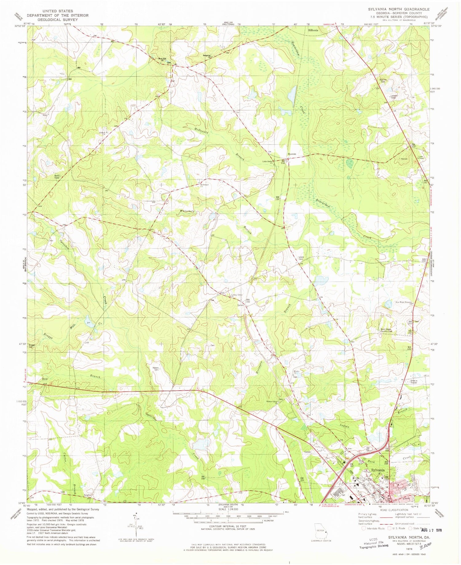
Historical USGS topographic quad map of Sylvania North in the state of Georgia. Map scale may vary for some years, but is generally around 1:24,000. Print size is approximately 24" x 27"
This quadrangle is in the following counties: Screven.
The map contains contour lines, roads, rivers, towns, and lakes. Printed on high-quality waterproof paper with UV fade-resistant inks, and shipped rolled.
Contains the following named places: Antioch Church, Bargeron Church, Bascom, Bascom Cemetery, Bascom Church, Bascom School, Bay Branch, Braggs Cemetery, Braggs Mill Creek, Brantley Plaza Shopping Center, Brier Creek Country Club, First Methodist Church, Friendship Memorial Church, Hilton Bridge, Hiltonia Division, Hook School, Horsepen Branch, Lariscy Grove Church, Lewis, Lewis Cemetery, Lewis Pond, Lewis Pond Dam, Little Bethel Church, Louis Chapel, McDonald Branch, McDonald Church, New Home Welcome Church, Optim Medical Center - Screven, Our Lady of the Assumption Church, Robinson Pond, Robinson Pond Dam, Rock Hill Church, Rock Hill School, Saint Andrews Methodist Episcopal Church, Screven County Correctional Institution, Screven County Courthouse, Screven County Fire Department Station 1, Screven County Jail, Screven County Library, Screven County Sheriff's Office, Sylvania, Sylvania City Hall, Sylvania Fire Department, Sylvania Police Department, Sylvania Post Office, Walker School, Waterhole Branch, Waters, Waters Cemetery, Waters Grove Church, Wesley Church, Wesley School, Zeigler


