MyTopo
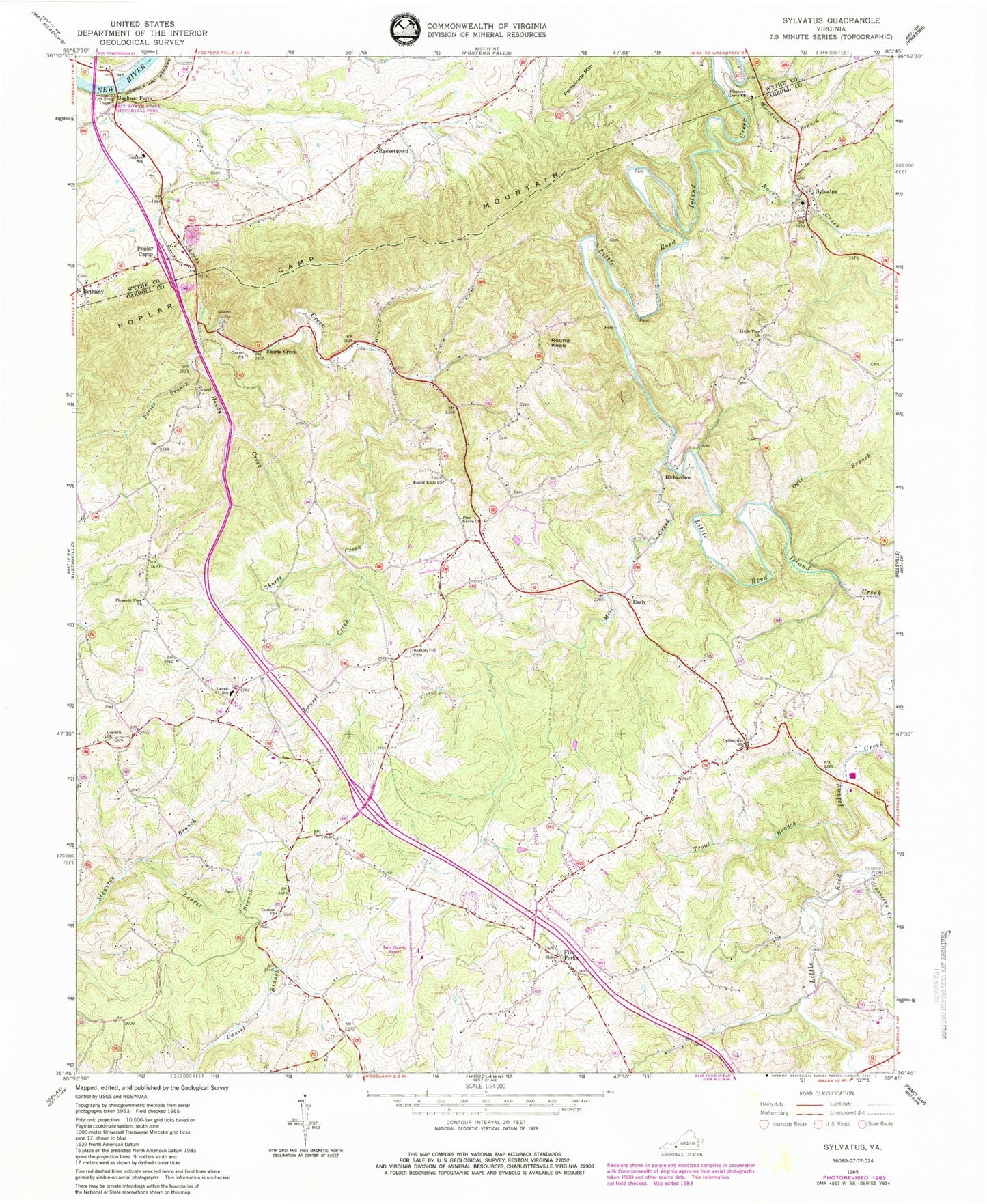
Classic USGS Sylvatus Virginia 7.5'x7.5' Topo Map
Couldn't load pickup availability
Historical USGS topographic quad map of Sylvatus in the state of Virginia. Map scale may vary for some years, but is generally around 1:24,000. Print size is approximately 24" x 27"
This quadrangle is in the following counties: Carroll, Wythe.
The map contains contour lines, roads, rivers, towns, and lakes. Printed on high-quality waterproof paper with UV fade-resistant inks, and shipped rolled.
Contains the following named places: Alexander Cemetery, Alford Cemetery, Allen Cemetery, Beasley Hill Cemetery, Coaltrain School, Colonel Ira B Coltrane Memorial Bridge, Corinth Church, Corinth School, Coulson Cemetery, Coulson Church, Cranberry Creek, Dalton Hill Church, Dalton Hill School, Early, Five Forks, Handy Creek, Jackson Ferry, Jackson Memorial Elementary School, Jackson Peak Cemetery, Laurel Branch, Laurel Creek, Laurel Elementary School, Laurel Rescue Squad, Liberty Grove Church, Lilburn Richardson Family Cemetery, Little Vine Cemetery, Little Vine Church, Little Vine School, Mabe Cemetery, Mill Creek, Mitchell Cemetery, Moccasin Branch, Mount Tabor School, Mount Zion School, Myers Cemetery, Nebo School, New Castleton School, Ogle Branch, Old Shop Tower, Osbourne Cemetery, Parnell Cemetery, Pickett Cemetery, Pine Grove Cemetery, Pine Grove Church, Pleasant Grove Church, Pleasant View Church, Poplar Camp, Poplar Camp Mountain, Porter Branch, Quesenberry - Dalton Cemetery, Rackettown, Richardson, Rock Creek, Round Knob, Round Knob Cemetery, Round Knob Church, Round Knob School, Shiloh Cemetery, Shiloh Church, Shockley School, Shorts Creek, Shorts Creek - Frazier Cemetery, Shorts Creek Church of God, Shot Tower State Historical Park, Surratt Cemetery, Sylvatus, Sylvatus Elementary School, Trout Branch, Twin County Airport, Wildwood, Wildwood School


