
MyTopo
Classic USGS Symerton Illinois 7.5'x7.5' Topo Map
Couldn't load pickup availability
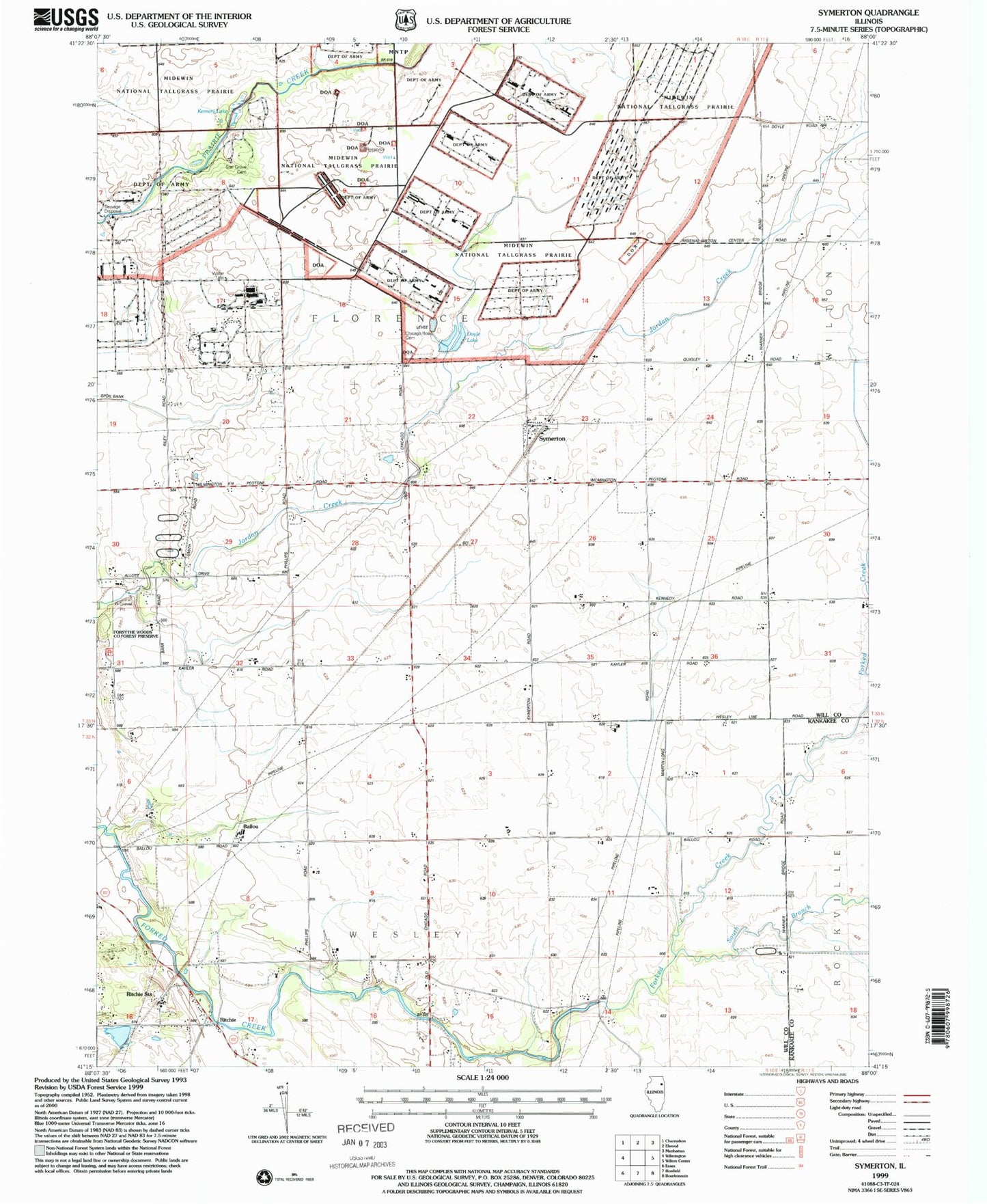
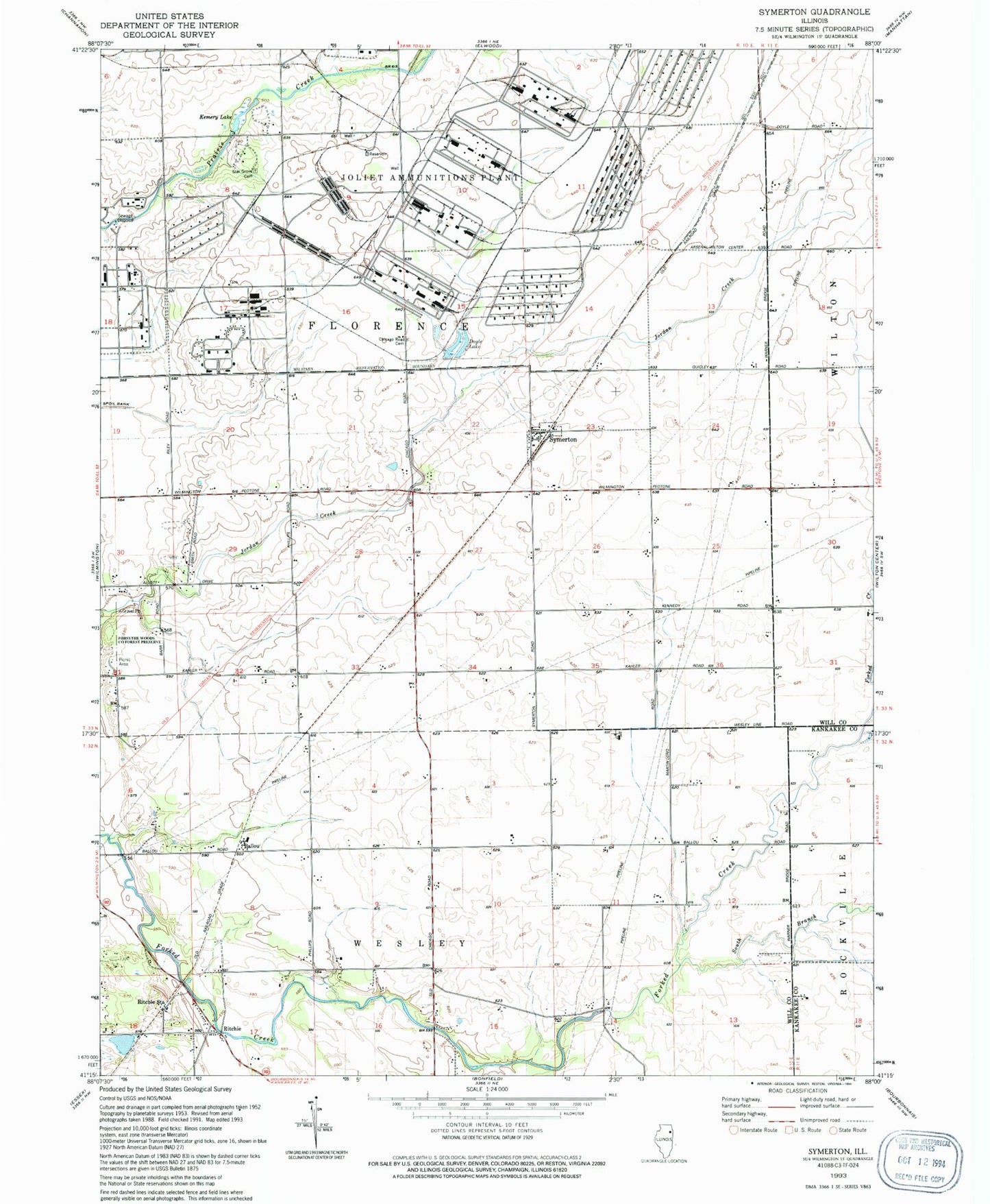
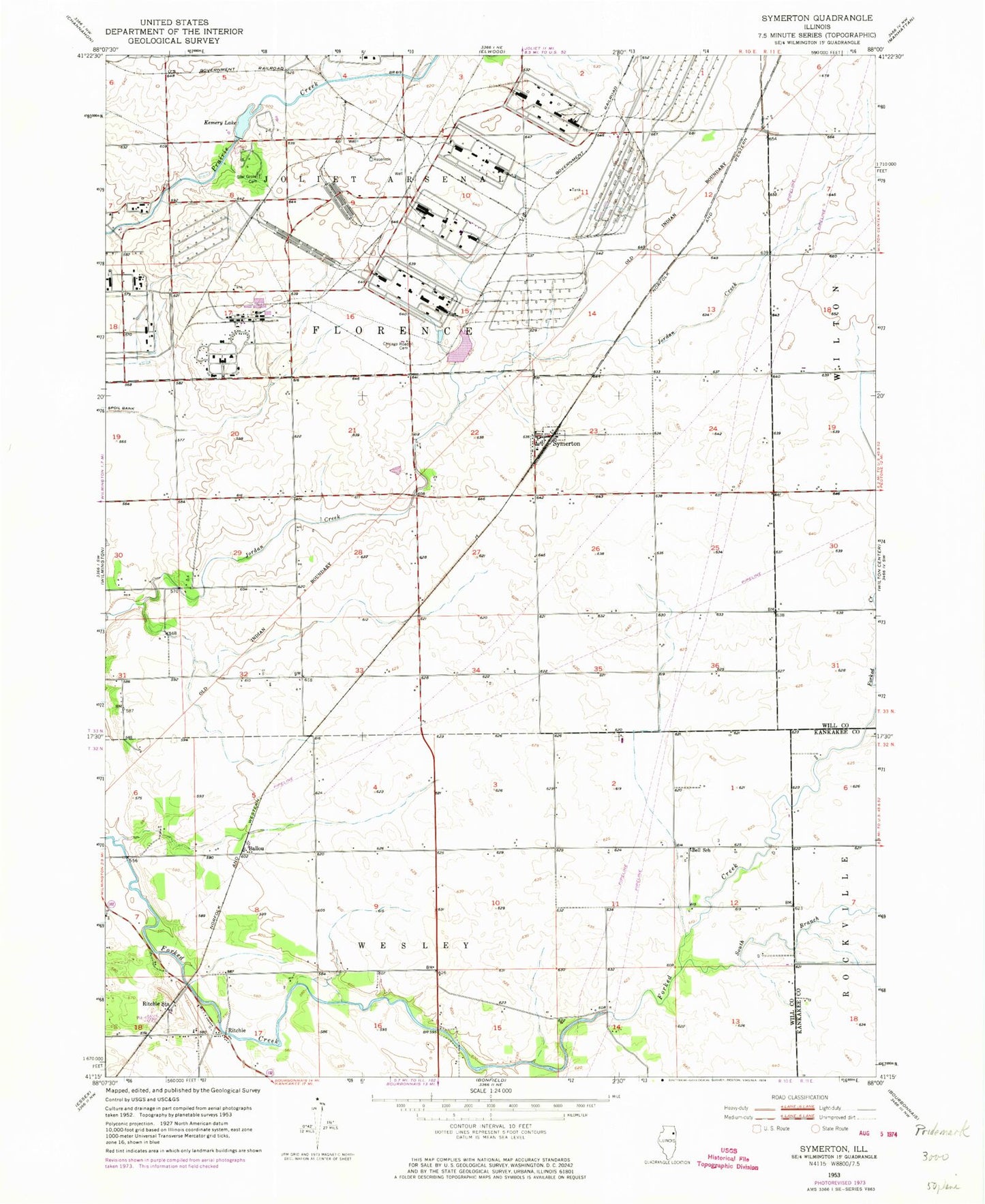
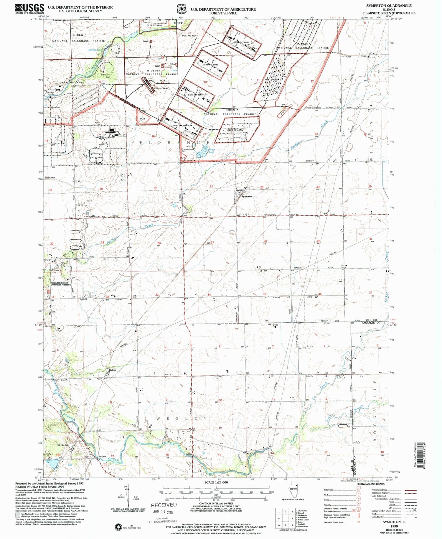
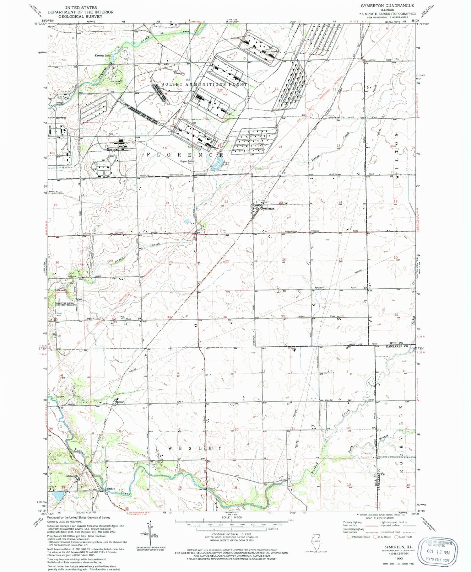
Historical USGS topographic quad map of Symerton in the state of Illinois. Map scale may vary for some years, but is generally around 1:24,000. Print size is approximately 24" x 27"
This quadrangle is in the following counties: Kankakee, Will.
The map contains contour lines, roads, rivers, towns, and lakes. Printed on high-quality waterproof paper with UV fade-resistant inks, and shipped rolled.
Contains the following named places: Ballou, Bell School, Center School, Chicago Road Cemetery, Doyle Lake, Doyle Lake Dam, Hayden School, Joliet Army Ammunition Plant Elwood, Kemery Lake, Kemery Lake Dam, Kennedy School, Morgan School, Oak Grove School, Ritchie, Ritchie Census Designated Place, Ritchie Station, School Number 66, South Branch Forked Creek, Starr Grove Cemetery, Starr Grove School, Symerton, Township of Florence, Township of Wesley, Village of Symerton, Wesley School, ZIP Code: 60481