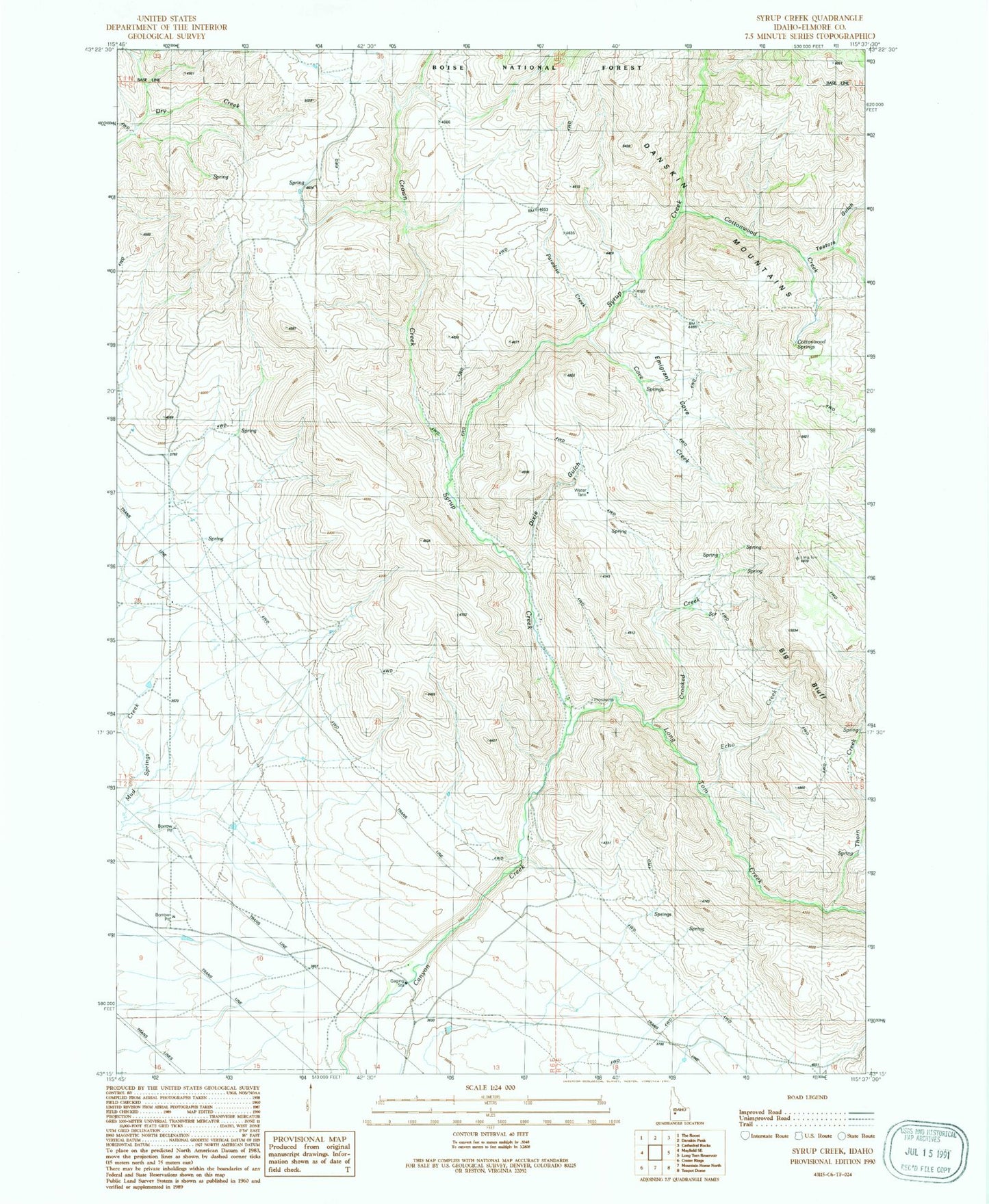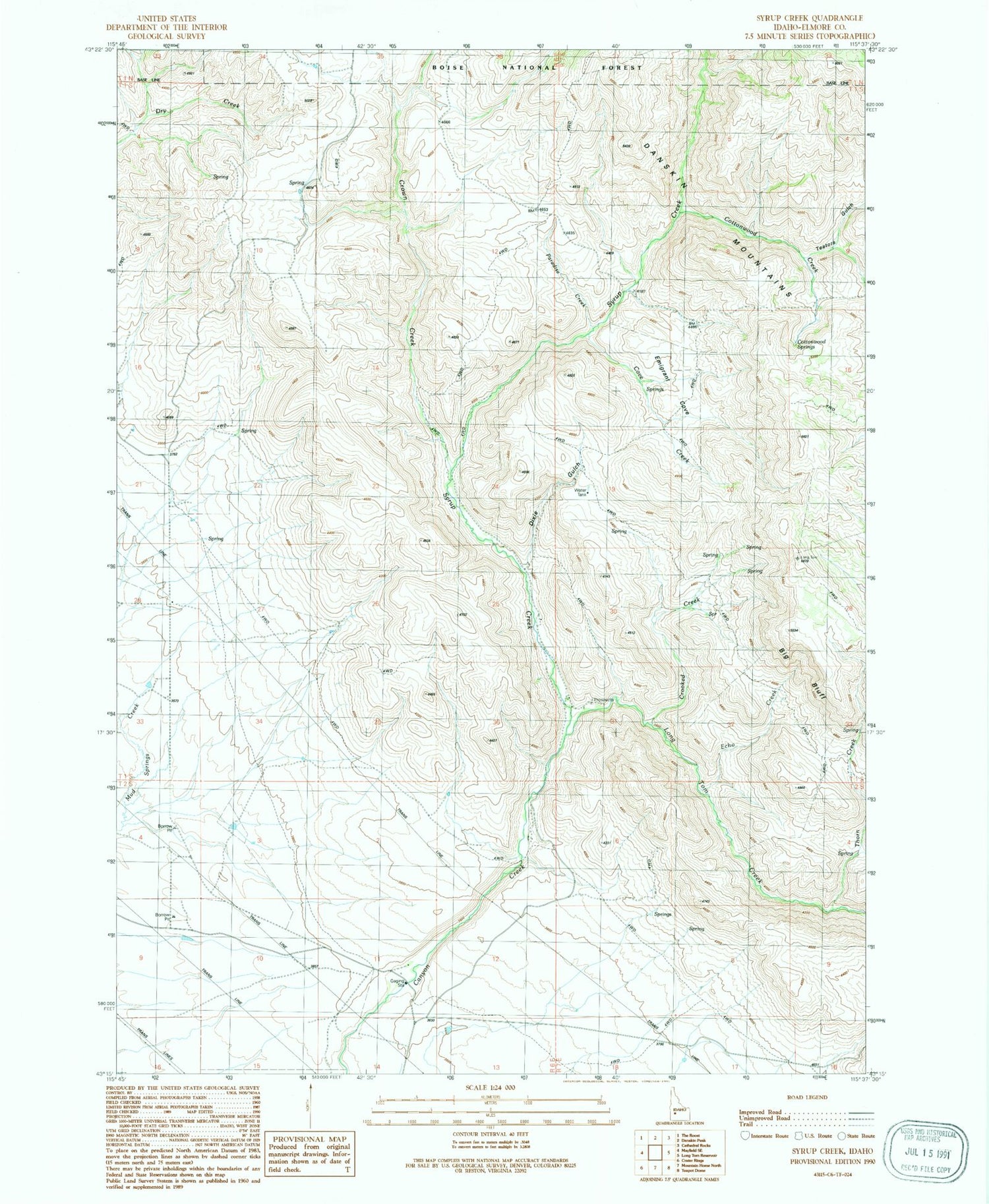
MyTopo
Classic USGS Syrup Creek Idaho 7.5'x7.5' Topo Map
Regular price
$16.95
Regular price
Sale price
$16.95
Unit price
per
Couldn't load pickup availability
Historical USGS topographic quad map of Syrup Creek in the state of Idaho. Map scale may vary for some years, but is generally around 1:24,000. Print size is approximately 24" x 27"
This quadrangle is in the following counties: Elmore.
The map contains contour lines, roads, rivers, towns, and lakes. Printed on high-quality waterproof paper with UV fade-resistant inks, and shipped rolled.
Contains the following named places: Big Bluff, Cottonwood Creek, Cottonwood Springs, Cove Creek, Crooked Creek, Crown Creek, Dixie Gulch, Echo Creek, Emigrant Cove, Long Tom Creek, Paradise Creek, Syrup Creek, Teetors Gulch, Thorn Creek